Introduction
With the rapid advancement of technology, innovative solutions have emerged for various sectors, including the protection of natural resources. Drones and precision application of inputs are two such advancements that have revolutionized the way we can safeguard our environment. By harnessing the power of drones and using precise methods to apply inputs, we can better conserve and protect our natural resources.
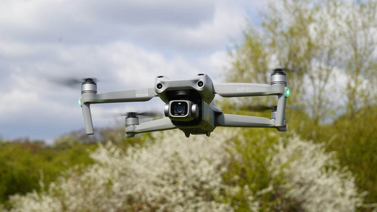
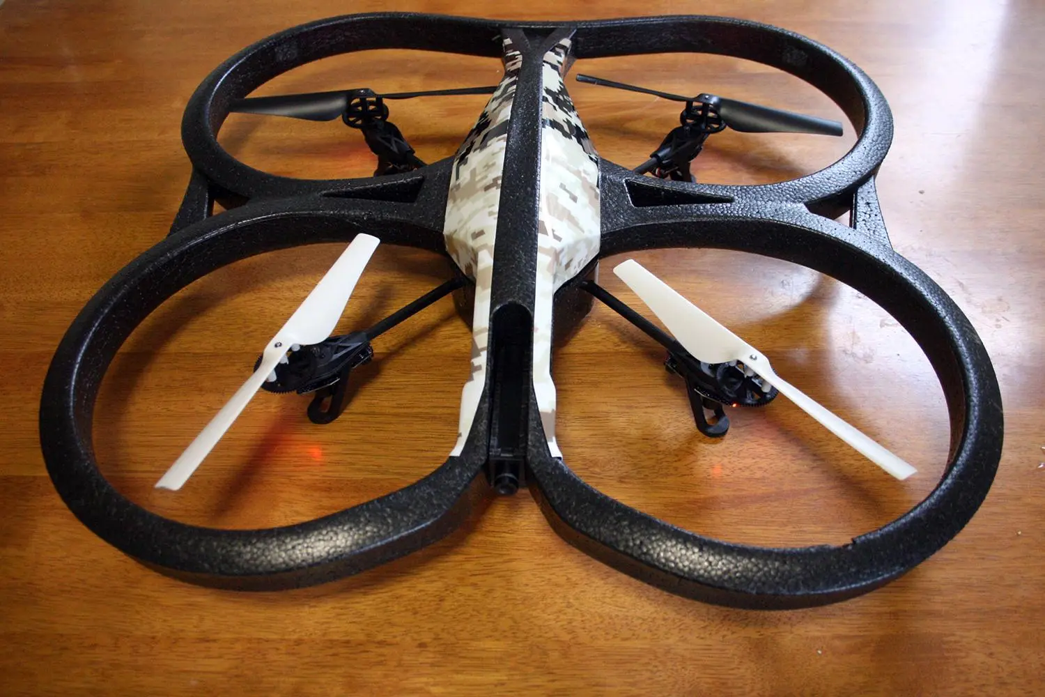
Drones, also known as unmanned aerial vehicles (UAVs), have become increasingly popular in recent years. These flying devices are equipped with advanced imaging technology and sensors, allowing them to capture high-resolution images and collect data. On the other hand, precision application of inputs involves the precise and controlled application of resources such as fertilizers, pesticides, and water to maximize their effectiveness while minimizing waste.
The combination of drones and precision application of inputs offers numerous benefits in the realm of natural resource protection. In this article, we will explore some of the key advantages of utilizing drones and precision application techniques in safeguarding our precious resources.
What are drones and precision application of inputs?
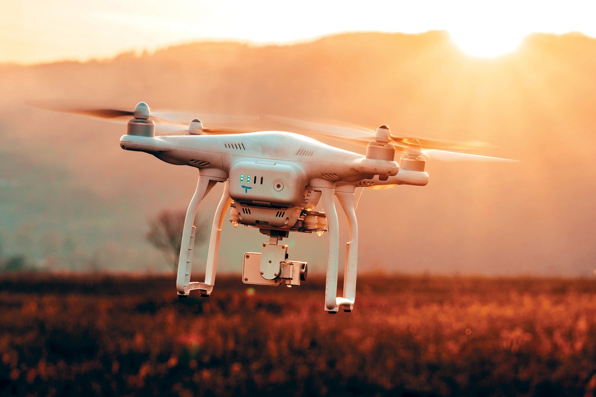
Drones, or unmanned aerial vehicles (UAVs), are aircraft that can be remotely operated or fly autonomously. They are equipped with various sensors, cameras, and imaging technology to capture high-resolution images and collect data from the environment. Drones have become increasingly popular in a wide range of industries, including agriculture, environmental monitoring, and natural resource protection.
Precision application of inputs, on the other hand, refers to the precise and controlled application of resources such as fertilizers, pesticides, and water to optimize their effectiveness while minimizing waste. This technique involves using advanced technology and data-driven approaches to ensure that the inputs are applied precisely where they are needed, reducing the environmental impact and improving resource efficiency.
When used together, drones and precision application of inputs offer a powerful tool for protecting natural resources. The drones can collect high-resolution images and data from the environment, which can then be analyzed to identify areas that require specific interventions. By combining this information with precision application techniques, inputs can be targeted and applied precisely where they are needed the most, resulting in more sustainable resource management.
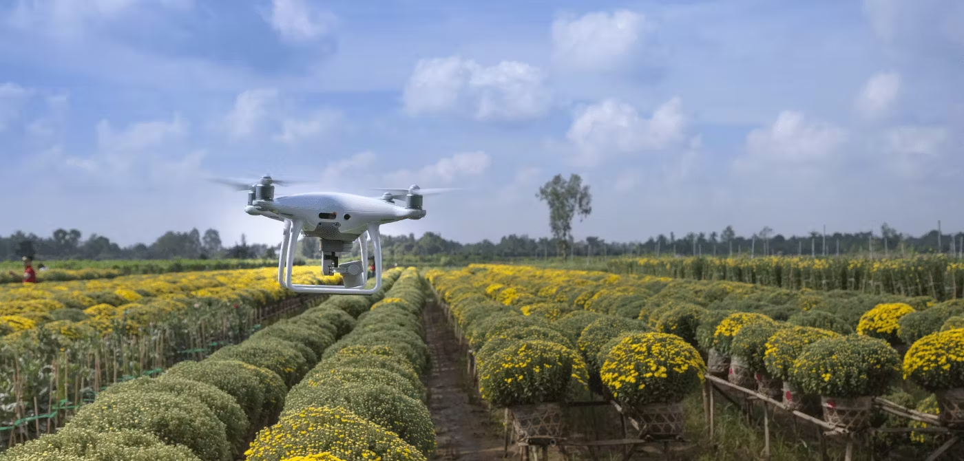
In agriculture, for example, drones equipped with specialized cameras and sensors can capture detailed images of crops, identifying areas that may require additional nutrients, water, or pest control measures. The data collected by the drones can be processed and analyzed, allowing farmers to precisely target their resources and reduce the use of chemicals, minimizing the impact on the environment while optimizing crop yields.
Similarly, in forestry, drones can be used to monitor and assess the health of forest ecosystems. By capturing aerial images and data, drones can help identify areas affected by forest fires, invasive species, or other threats. This information can be used to develop targeted intervention strategies, such as precision application of fire retardants or localized invasive species management.
Overall, drones and precision application of inputs offer a game-changing approach to natural resource protection. By combining advanced technology, data analysis, and targeted resource allocation, we can enhance our ability to conserve and manage our resources in a more sustainable and efficient manner.
Benefits of using drones and precision application of inputs in natural resource protection
The utilization of drones and precision application of inputs brings a plethora of benefits when it comes to safeguarding our natural resources. These innovative technologies offer new opportunities to enhance conservation efforts and maximize resource efficiency. Here are some of the key advantages:
1. Enhanced data collection and analysis: Drones equipped with advanced sensors and imaging technology can gather high-resolution images and collect data from inaccessible or remote areas. This data can provide valuable insights into the condition and health of natural resources, allowing for informed decision-making and targeted interventions.
2. Precise resource allocation: Precision application of inputs enables resources such as fertilizers, pesticides, and water to be applied exactly where they are needed. By avoiding unnecessary wastage, this technique minimizes environmental impact and improves resource efficiency. Precise resource allocation also reduces the exposure of non-targeted areas to potentially harmful substances, ensuring the preservation of biodiversity.
3. Cost and time savings: The use of drones and precision application techniques can significantly reduce the time and cost associated with traditional manual data collection and resource application methods. Drones can cover large areas quickly, allowing for swift monitoring and assessment of natural resources. Similarly, precision application techniques optimize the use of resources, reducing input costs and maximizing their effectiveness.
4. Improved efficiency and productivity: By precisely targeting inputs, such as fertilizers, farmers can optimize nutrient delivery to crops, resulting in improved plant health and higher yields. Additionally, the ability to identify and address issues in real-time, such as pest infestations or water stress, enhances the efficiency and productivity of agricultural and forestry operations.
5. Minimized environmental impact: The combination of drones and precision application of inputs reduces the use of agrochemicals, such as fertilizers and pesticides, by applying them only where necessary. This minimizes water pollution, soil degradation, and the negative impacts on biodiversity. The targeted approach also helps prevent non-targeted species from being affected by unnecessary chemical exposure.
6. Increased safety: Using drones for data collection and monitoring eliminates the need for manual surveys in hazardous or remote areas, reducing the risk of accidents and injuries. Precision application techniques also minimize human contact with potentially harmful substances, ensuring the safety of workers.
7. Enhanced decision-making: The data collected by drones and the insights gained from precision application techniques enable better decision-making in natural resource management. The information obtained helps identify trends, patterns, and areas requiring attention, guiding conservation efforts and enabling proactive measures to protect and restore natural resources.
The benefits of using drones and precision application of inputs in natural resource protection are evident. These technologies provide innovative and efficient solutions to address the challenges we face in conserving and managing our natural resources sustainably.
Protecting soil and water resources
Soil and water resources are essential for sustaining life and supporting ecosystems. Drones and precision application of inputs offer valuable tools for protecting and managing these vital resources.
One of the key threats to soil and water resources is erosion. Soil erosion can result from various factors such as wind, water runoff, and improper land management practices. Drones equipped with imaging technology can quickly assess areas prone to erosion, allowing for targeted interventions. By identifying vulnerable areas, erosion control measures can be implemented effectively, such as planting cover crops, constructing terraces, or applying soil stabilizers. Precision application techniques can ensure that soil stabilizers, such as mulch or geotextiles, are applied precisely where erosion is most likely to occur, maximizing their effectiveness and minimizing waste.
Water resources are also susceptible to pollution from various sources, including agricultural runoff, industrial discharge, and improper waste management. Drones can be used to monitor water bodies, such as rivers, lakes, and reservoirs, detecting signs of pollution and facilitating early intervention. By collecting water samples, drones can provide real-time data on water quality, helping to identify and locate sources of contamination. This information enables authorities to take prompt actions to mitigate pollution sources and protect the integrity of water resources.
Precision application techniques can also be used to manage the use of irrigation water in agriculture. By analyzing data collected by drones, farmers can determine soil moisture levels and assess crop water requirements. This information enables precise irrigation, ensuring that water is applied only where and when it is needed. As a result, water wastage is minimized, reducing the strain on water resources and promoting sustainable irrigation practices.
Moreover, implementing precision application techniques in pesticide and fertilizer application contributes to the protection of soil and water resources. By accurately targeting the application of these inputs, farmers can reduce the risk of over-application and minimize the associated runoff into nearby water bodies. This reduces the pollution of water resources and preserves soil health, leading to more sustainable agricultural practices.
The combined use of drones and precision application of inputs offers great potential for the protection and conservation of soil and water resources. By identifying areas at risk, monitoring water quality, and optimizing resource allocation, these technologies contribute to sustainable land and water management practices, promoting the long-term health and viability of these crucial resources.
Enhancing biodiversity conservation
Biodiversity refers to the variety of life forms, including plants, animals, and microorganisms, and the ecosystems they inhabit. Drones and precision application of inputs play a significant role in enhancing biodiversity conservation efforts by providing valuable insights and targeted interventions.
One of the key applications of drones in biodiversity conservation is the monitoring and assessment of ecosystems. Drones equipped with high-resolution cameras and sensors can capture detailed images and collect data from remote or hard-to-reach areas. This data can be used to assess the health and diversity of plant and animal species, identify habitat loss, and detect invasive species. By providing accurate and up-to-date information, drones enable conservationists to make informed decisions and prioritize actions to protect vulnerable species and ecosystems.
Precision application of inputs also contributes to biodiversity conservation by reducing the negative impacts of chemical use on non-target species. By accurately targeting the application of pesticides and fertilizers, the risk of unintended harm to beneficial insects, birds, and other organisms is minimized. This targeted approach helps maintain a healthy balance in ecosystems and avoids the disruption of natural processes, ultimately preserving biodiversity.
In agriculture, precision application techniques can be applied to conserve biodiversity on farmland. By utilizing drones to analyze crop health and identify pest hotspots, farmers can precisely apply targeted treatments, reducing the need for broad-spectrum pesticides that can harm beneficial insects. This approach promotes integrated pest management strategies that encourage biological control methods and reduce reliance on chemical inputs, benefiting both biodiversity and agricultural productivity.
Drones can also support the protection of endangered species by monitoring their populations and habitats. For instance, in wildlife reserves or protected areas, drones can conduct aerial surveys to estimate population sizes, monitor breeding patterns, track migration routes, and detect illegal activities such as poaching or habitat destruction. This information enables conservationists to implement targeted conservation measures and enforce wildlife protection laws more effectively.
Furthermore, drones equipped with thermal imaging cameras can aid in the identification and protection of endangered species, such as nesting sea turtles or nocturnal mammals. By detecting heat signatures, drones can pinpoint the location of these species and their habitats, ensuring their protection and minimizing disturbance.
The combination of drones and precision application of inputs provides a powerful tool for biodiversity conservation. The ability to monitor ecosystems, target interventions, reduce chemical use, and protect endangered species contributes to the preservation of biodiversity and the overall health of natural ecosystems.
Managing forests and wildlife populations
Forests and wildlife populations are integral components of our ecosystems, and their effective management is crucial for the preservation of biodiversity. Drones and precision application of inputs offer valuable tools for monitoring and managing these natural resources.
Drones equipped with advanced sensors and imaging technology can play a significant role in forest management. They can be used to assess forest health, detect areas affected by diseases or infestations, and monitor changes in tree density and biomass. By collecting high-resolution images and data, drones enable forest managers to identify potential threats and take timely action to prevent further damage.
Additionally, drones can be instrumental in wildlife population monitoring and conservation. Aerial surveys conducted by drones provide accurate and comprehensive data on population sizes, movements, and habitat utilization. This information is invaluable for assessing species abundance, identifying critical habitats, and understanding the ecological dynamics of wildlife populations.
Precision application of inputs also plays a vital role in managing forests and wildlife populations. By delivering resources, such as seedlings or essential nutrients, with precision, precision application techniques promote reforestation efforts and enhance forest ecosystem resilience. For example, drones can be used to plant tree seedlings in areas that are difficult to access or restore degraded landscapes. This targeted approach maximizes the effectiveness of reforestation initiatives and accelerates the recovery of impacted forest areas.
In wildlife management, precision application techniques support efforts to mitigate human-wildlife conflicts. By accurately targeting deterrents or attractants, such as noise devices or food baits, around human settlements or agricultural fields, the risk of wildlife damage can be reduced. In turn, this minimizes the need for lethal methods of wildlife control and preserves the balance between human activities and wildlife conservation.
Furthermore, drones can aid in the identification and monitoring of endangered or threatened wildlife species. In remote or inaccessible areas, where traditional monitoring methods may be challenging, drones can provide valuable data on population size, breeding behavior, and habitat preferences. This information allows conservationists to implement targeted conservation strategies and prioritize conservation actions to safeguard vulnerable species.
The combination of drones and precision application of inputs offers promising solutions for the effective management of forests and wildlife populations. These technologies provide crucial data for informed decision-making, enable targeted interventions, and promote sustainable practices that balance human activities with the preservation of natural habitats and wildlife populations.
Improving crop production and reducing waste
Efficient crop production and reducing waste are key objectives in agriculture for both economic and environmental reasons. Drones and precision application of inputs offer innovative solutions to aid in achieving these goals.
Drones equipped with advanced imaging technology and sensors can provide valuable insights into crop health and growth patterns. By capturing high-resolution images and collecting data from fields, drones can detect early signs of stress, nutrient deficiencies, or pest infestations. This enables farmers to take prompt action, such as adjusting irrigation, applying targeted treatments, or optimizing nutrient management, to address issues and improve crop productivity.
Precision application of inputs is a critical component of modern agricultural practices. By accurately targeting the delivery of resources, such as fertilizers, water, or pesticides, farmers can reduce waste and maximize the effectiveness of inputs. Drones equipped with GPS and precision spraying technology can ensure that inputs are applied precisely where they are needed, avoiding overspray and minimizing environmental contamination. This method not only optimizes resource utilization but also reduces the risk of chemical runoff, protecting water resources and minimizing the impact on surrounding ecosystems.
The use of drones and precision application techniques also contributes to reducing waste in post-harvest processes. Drones can be utilized for crop monitoring, helping farmers identify the optimal time for harvest to maximize yield and minimize losses due to overripe or underripe produce. Additionally, drones can assist in collecting data on crop maturity and quality, aiding in efficient harvesting and grading processes.
Furthermore, drones can play a role in reducing post-harvest losses by identifying potential storage issues. By conducting aerial inspections, drones can detect signs of spoilage or pest infestations in storage facilities, prompting timely intervention measures. This reduces the risk of storage losses and ensures the delivery of high-quality produce to the market.
In addition, precision application of inputs can contribute to reducing waste in agricultural practices. By accurately applying resources such as fertilizers and pesticides, farmers can avoid excessive use that can lead to environmental pollution and ecological imbalances. This targeted approach also minimizes the likelihood of chemical residues in produce, ensuring food safety and quality.
The combination of drones and precision application of inputs offers tremendous potential for improving crop production while reducing waste. By harnessing the power of technology and data-driven approaches, farmers can optimize resource utilization, enhance productivity, and promote sustainable agricultural practices.
Monitoring and preventing air pollution
Air pollution is a significant environmental concern that can have detrimental effects on both human health and the ecosystem. Drones and precision application of inputs offer effective tools for monitoring and preventing air pollution.
Drones equipped with specialized sensors can measure and monitor various air pollutants, such as particulate matter (PM), nitrogen oxides (NOx), sulfur dioxide (SO2), and volatile organic compounds (VOCs). By collecting real-time data and aerial imagery from different locations, drones enable more comprehensive and accurate air quality monitoring compared to traditional stationary monitoring stations. This data can help identify pollution hotspots, track pollutant sources, and assess the effectiveness of pollution control measures.
Additionally, drones can be used to monitor industrial emissions and stack emissions. By flying near industrial facilities and power plants, drones can collect data on gas emissions, smoke plumes, and other pollutants. This information can aid regulatory authorities in enforcing emission standards and ensuring compliance with environmental regulations. Drones can also support the identification of illegal activities, such as unauthorized waste burning, which contributes to air pollution.
Precision application techniques can play a role in preventing air pollution by optimizing the use of resources and minimizing emissions. In agriculture, precision application of fertilizers and pesticides ensures that only the necessary amounts are applied to crops, reducing the risk of excess chemicals and minimizing the release of volatile organic compounds into the air. By using drones equipped with sprayers that deliver inputs precisely, farmers can minimize drift and ensure efficient application, minimizing environmental contamination.
Moreover, drones can aid in the monitoring of air pollution from transportation. By capturing images and data from roadways and traffic corridors, drones can assess traffic patterns, identify congested areas, and detect vehicles emitting excessive exhaust emissions. This information can contribute to traffic management strategies, such as route optimization, to reduce congestion and improve air quality in urban areas.
The real-time data gathered by drones, combined with advanced data analytics, can enable early warning systems for air pollution events. By detecting sudden increases in pollutant levels or identifying sources of pollution, authorities can take prompt action to address the issue. For example, drones can assist in locating and mitigating wildfire emissions, which significantly contribute to air pollution. Their ability to provide timely and accurate information helps in coordinating firefighting efforts and protecting communities from the harmful effects of smoke and pollutant emissions.
The combination of drones and precision application of inputs provides valuable tools in monitoring and preventing air pollution. By enabling more comprehensive and real-time data collection, these technologies enhance our understanding of air quality and contribute to the development of effective strategies to mitigate pollution sources, promote cleaner practices, and protect human health and the environment.
Conclusion
The utilization of drones and precision application of inputs has emerged as a powerful solution for protecting and conserving our natural resources. From safeguarding soil and water resources to enhancing biodiversity conservation, managing forests and wildlife populations, improving crop production, and preventing air pollution, these innovative technologies offer immense benefits.
Drones equipped with advanced sensors, imaging technology, and data analytics provide a wealth of information for monitoring and assessing the condition of our natural resources. They enable targeted interventions, allowing us to address issues promptly and effectively. Whether it’s detecting erosion-prone areas, monitoring wildlife populations, or identifying sources of air pollution, drones provide valuable insights that aid in making informed decisions and implementing targeted conservation measures.
The precision application of inputs ensures that resources such as fertilizers, pesticides, water, and other inputs are applied precisely and efficiently. This targeted approach minimizes waste, reduces environmental impact, and optimizes resource utilization. By accurately delivering inputs where they are needed most, we can enhance crop production, minimize post-harvest losses, and promote sustainable agricultural practices.
Moreover, the combined use of drones and precision application techniques supports the conservation of biodiversity, the protection of forests and wildlife populations, and the prevention of air pollution. These technologies enable effective management strategies, facilitate early detection of threats, and contribute to sustainable resource use.
In conclusion, drones and precision application of inputs have revolutionized the field of natural resource protection. By harnessing the power of technology and data-driven approaches, we can enhance our ability to monitor, manage, and sustainably utilize our precious resources. From improving agricultural practices to minimizing environmental pollution, these technologies offer promising solutions for a more sustainable and resilient future.