Introduction
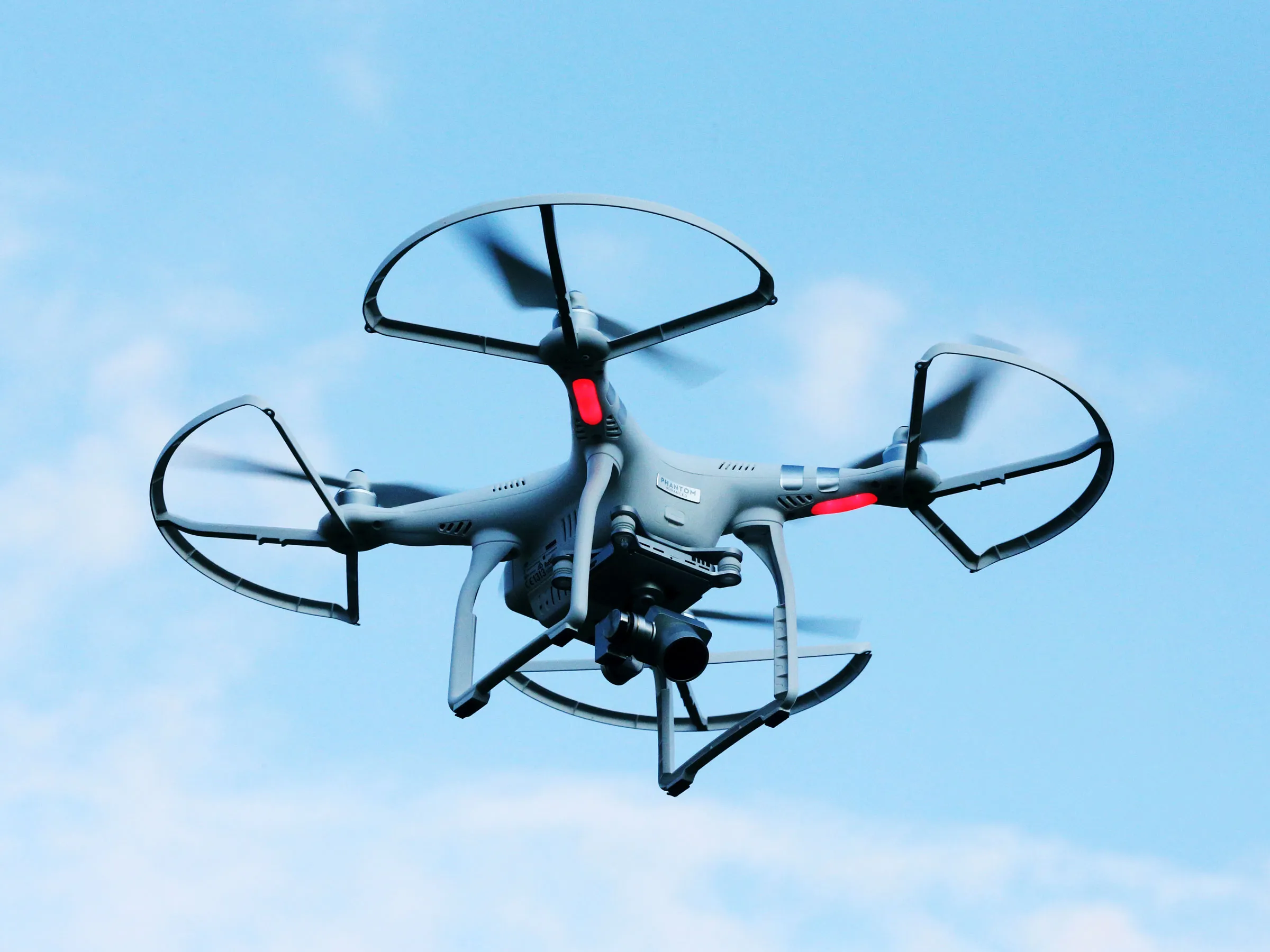
Drones, also known as unmanned aerial vehicles (UAVs), have revolutionized various industries and captured the imagination of individuals worldwide. These small flying machines equipped with cameras and sensors have the ability to access areas that are otherwise difficult or dangerous for humans to reach. Whether you are an avid hobbyist or a professional looking to explore new possibilities, drones offer a wide range of exciting opportunities.
In recent years, the popularity of drones has soared due to their versatility and potential applications. From aerial photography and videography to delivery services and search and rescue operations, drones have become an integral part of many industries. In this article, we will explore various ways you can make the most out of your drone and delve into the thrilling possibilities they offer.
Before we dive into the different applications of drones, it is important to note that drone owners must adhere to safety regulations and guidelines set by the respective aviation authorities. These regulations ensure responsible and secure drone operation, protecting both the operator and the general public. Now, let’s explore the exciting world of drones and the multitude of possibilities they offer.
Choosing and Buying a Drone
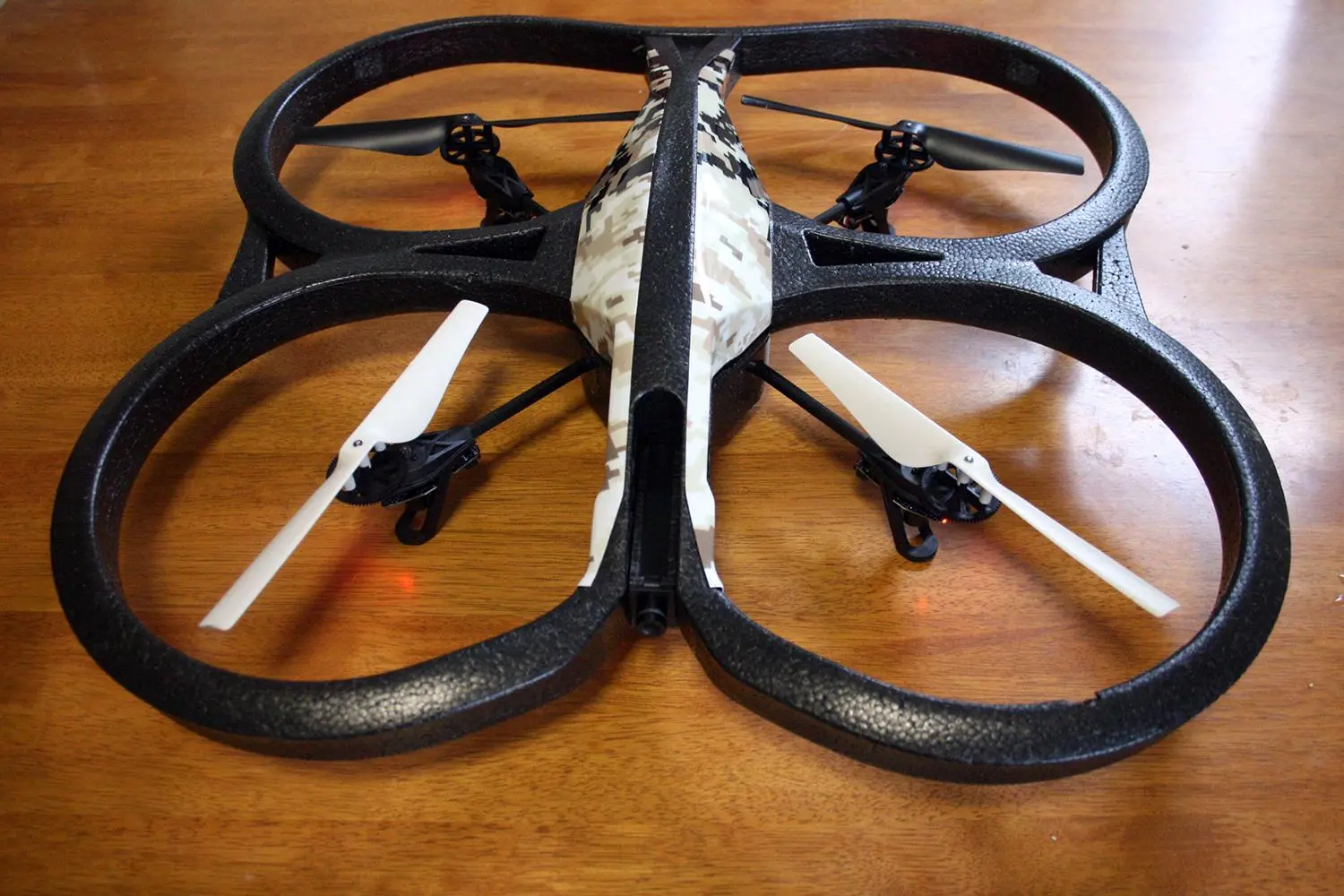
When it comes to choosing and buying a drone, there are several factors to consider to ensure you get the right one for your needs. The first step is determining your budget and intended use for the drone. Are you looking for a drone for recreational purposes, or do you have professional aspirations such as aerial photography or videography?
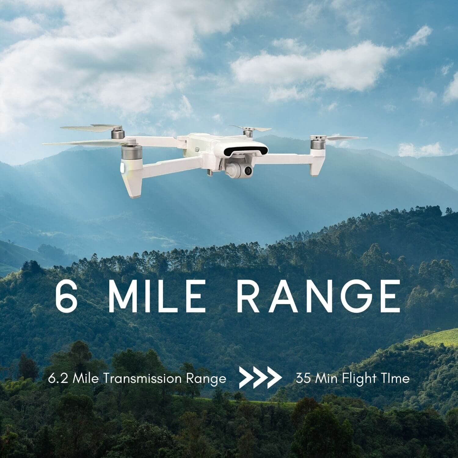
Next, consider the drone’s flight capabilities and features. Look for a drone that offers stable flight performance, good battery life, and obstacle avoidance sensors if you plan to fly in crowded areas. Additionally, check the camera quality and resolution if you’re interested in capturing high-quality aerial footage.
It’s also important to consider the drone’s size and portability. Smaller drones are more compact and easy to carry around, making them ideal for travel or on-the-go shooting. On the other hand, larger drones may have advanced features and longer flight times, but can be less convenient to transport.
Researching and comparing different drone models is crucial in finding the right fit. Read reviews, watch demonstration videos, and seek recommendations from experienced drone users to gather insights into the performance and reliability of different drones.
Furthermore, understanding the legal requirements for drone operation in your country is essential. Ensure that the drone you choose complies with the regulations imposed by the aviation authority, such as registration and licensing.
Finally, make your purchase from a reputable dealer or manufacturer to ensure the product’s quality and reliable customer support. Consider warranties, after-sales service, and availability of spare parts when making your final decision.
By taking these factors into account, you can choose a drone that best suits your needs and embark on an exciting journey into the world of aerial exploration and creativity.
Registering Your Drone
Registering your drone is an important step in ensuring that you are in compliance with the regulations set by aviation authorities. While the specific registration process may vary depending on your country, most countries require drones to be registered if they meet certain criteria, such as a certain weight or specific capabilities.
Registering your drone provides a means of identifying and tracking drones, which is essential for safety and accountability purposes. It helps authorities in regulating airspace usage and preventing unauthorized drone operations. By registering your drone, you also demonstrate your commitment to responsible drone ownership.
To register your drone, check the guidelines provided by your country’s aviation authority. They will typically have an online registration portal where you can provide the necessary information about yourself and your drone. This may include details such as your name, contact information, drone model, serial number, and any required proof of purchase.
Some countries may charge a fee for drone registration, so it’s important to be aware of any associated costs. Once you have completed the registration process, you will typically receive a unique identification number or certificate that must be displayed on your drone, either physically or electronically.
It’s important to note that registration requirements may differ based on the intended use of the drone. Commercial drone operators, for instance, may have additional licensing requirements beyond basic registration. It’s advisable to familiarize yourself with these regulations and ensure you meet all necessary criteria to operate your drone legally.
Remember to keep your registration documentation easily accessible, as it may be required to be presented upon request by authorities. Failure to register your drone or operate it without proper documentation can result in fines, penalties, or even legal action.
By registering your drone, you contribute to the overall safety and responsible use of drones, ensuring that you can enjoy your aerial adventures without compromising the well-being of others or violating any regulations.
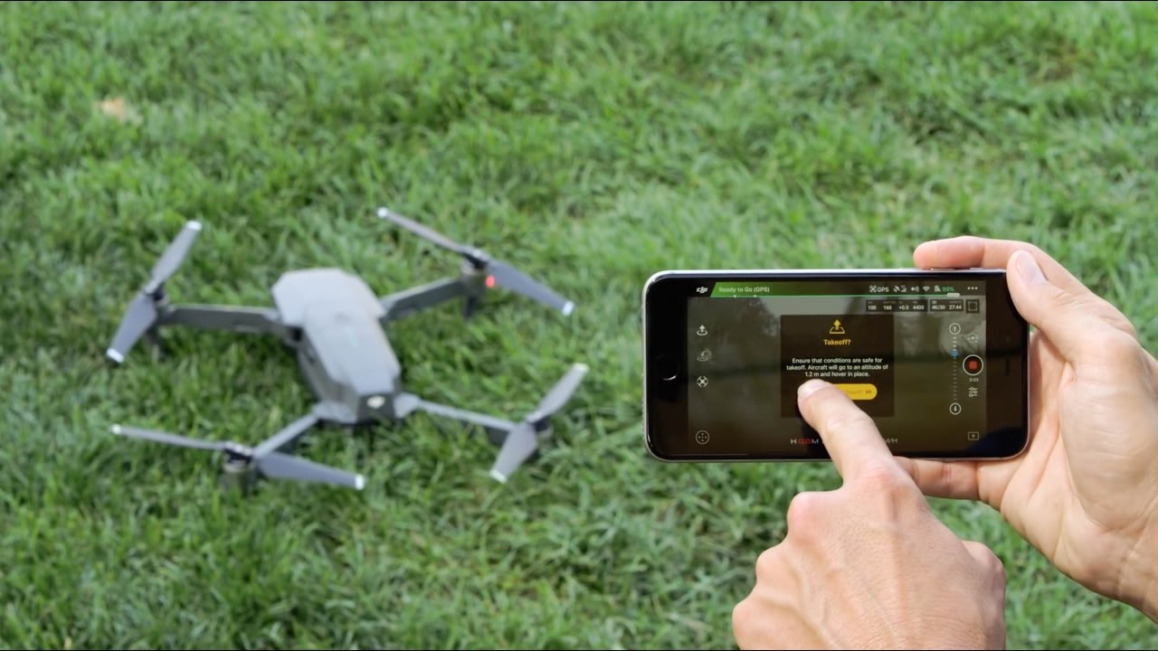
Learning to Fly
Learning to fly a drone is an essential skill for any drone owner. While they may seem easy to operate, drones require proper understanding and practice to ensure safe and controlled flights. Here are some steps to help you get started:
1. Read the manual: Familiarize yourself with the drone’s instruction manual. Understand the different controls, flight modes, and safety features specific to your drone model.
2. Start small: Begin by flying in an open, outdoor area with minimal obstacles. This will give you space to practice and gain confidence in controlling the drone.
3. Practice basic flight maneuvers: Start with basic maneuvers such as takeoff, landing, hovering, and controlling the drone’s orientation. Gradually progress to more advanced maneuvers like flying in a figure-eight or circling around a specific object.
4. Learn the controller: Get familiar with the controller’s layout and functions. Understand how each stick and button controls the drone’s movement, camera, and other features.
5. Understand flight modes: Many drones offer different flight modes, such as beginner mode, GPS-assisted flight, or sport mode. Learn how each mode works and when it is appropriate to use them.
6. Pay attention to weather conditions: Avoid flying in adverse weather conditions such as strong winds, rain, or snow. These conditions can affect the drone’s stability and performance.
7. Stay within visual line of sight: Always keep your drone within your line of sight while flying. This will help maintain control and ensure you can monitor the drone’s position and surroundings.
8. Be mindful of battery life: Keep track of the drone’s battery level and plan flights accordingly. Ensure you have enough battery power to safely bring the drone back to the takeoff point.
9. Practice emergency procedures: Familiarize yourself with the emergency procedures for situations like loss of control or low battery. Knowing how to handle these situations can prevent accidents and potential damage to the drone.
10. Join a community or take a course: Consider joining online drone communities or taking a formal drone flying course. These resources can provide valuable insights, tips, and support from experienced drone enthusiasts.
Remember, practice makes perfect. Take your time to build your skills and gradually explore more advanced flying techniques as you become more comfortable with your drone. Safety should always be a top priority, both for yourself and those around you, so fly responsibly and enjoy the incredible views and experiences that flying a drone can offer.
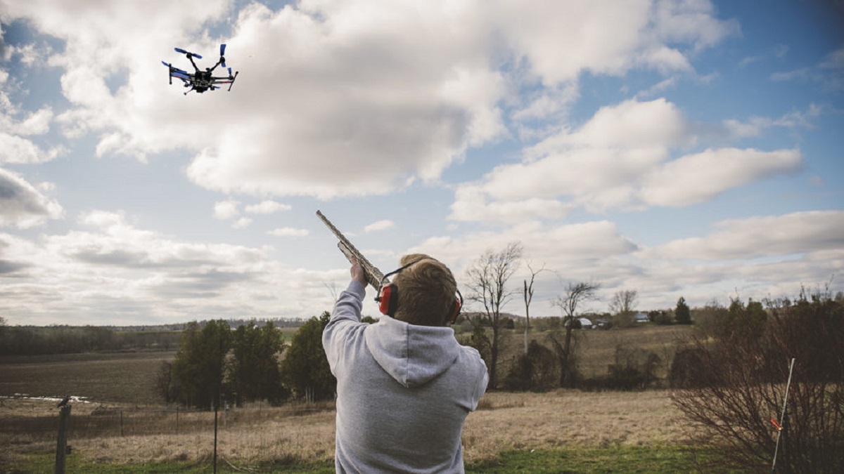
Safety Guidelines and Regulations
Ensuring the safe operation of drones is paramount to avoid accidents, protect privacy, and maintain public trust. Here are some important safety guidelines and regulations to follow when flying your drone:
1. Know the regulations: Familiarize yourself with the drone regulations set by your country’s aviation authority. Understand the rules regarding where and when you can fly, altitude limitations, and any restricted areas.
2. Fly in approved areas: Choose designated flying areas or open spaces suitable for drone operations. Avoid flying near airports, crowded public areas, or other sensitive locations.
3. Respect privacy: Respect the privacy of individuals. Do not fly your drone over someone’s property without their consent, and avoid capturing images or videos that invade privacy. Be mindful of your surroundings and the impact your drone may have on others.
4. Fly within visual line of sight: Maintain visual contact with your drone at all times. This allows you to monitor its position, avoid obstacles, and react quickly to any unexpected situations.
5. Respect no-fly zones: Abide by the restrictions and no-fly zones imposed by the aviation authorities. These may include areas near airports, government buildings, or densely populated areas.
6. Fly during daylight hours: Stick to flying in daylight hours when visibility is optimal. Avoid flying during twilight hours or in low-light conditions that can impair your ability to control the drone safely.
7. Fly at a safe distance: Maintain a safe distance from people, vehicles, and structures. This helps prevent collisions and accidents that may damage property or injure others.
8. Keep the drone in good condition: Regularly inspect and maintain your drone to ensure it is in proper working condition. Check for any loose parts, damaged propellers, or malfunctions before every flight.
9. Be aware of weather conditions: Avoid flying in adverse weather conditions such as strong winds, rain, or fog. These conditions can affect the stability and control of your drone.
10. Respect wildlife and nature: When flying in natural environments, ensure that your drone does not disturb wildlife or cause any harm to the ecosystem. Avoid sensitive habitats, nesting areas, or protected wildlife zones.
Adhering to these safety guidelines and regulations is essential for the responsible and enjoyable use of drones. By prioritizing safety, we can promote a positive image of drone technology and foster a culture of responsible drone operation.
Taking Photos and Videos
One of the most popular uses of drones is capturing stunning aerial photos and videos. With their ability to reach unique vantage points and offer dynamic perspectives, drones have revolutionized the world of photography and videography. Here are some key tips for taking captivating aerial footage:
1. Plan your shots: Before you take off, have a clear vision of what you want to capture. Scout the location, consider the lighting conditions, and visualize the composition you want to achieve.
2. Utilize the camera settings: Familiarize yourself with the camera settings on your drone. Adjust the ISO, shutter speed, and aperture to achieve the desired exposure and depth of field.
3. Practice smooth movements: Smooth and controlled movements are key to capturing professional-looking footage. Avoid jerky movements and practice using the drone’s controls to achieve fluid camera movements.
4. Explore different angles and perspectives: Experiment with different angles and perspectives to add variety to your shots. Fly higher for a wide-angle view or get closer to the subject for a more intimate perspective.
5. Use framing techniques: Apply traditional photography techniques, such as the rule of thirds, leading lines, and framing, to compose visually appealing shots. These techniques can help draw the viewer’s attention to the main subject.
6. Capture the environment: While focusing on the main subject, consider incorporating the surrounding environment to provide context and enhance the visual storytelling of your footage.
7. Experiment with different camera modes: Many drones offer various camera modes, such as panorama or time-lapse. Explore these modes to create unique and creative shots.
8. Post-process and edit: Once you’ve captured your footage, take the time to edit and enhance it. Use video editing software to adjust colors, add music or narration, and refine the final product.
9. Respect privacy and regulations: While capturing photos and videos, always prioritize privacy and adhere to the regulations set by your aviation authority. Avoid recording private property without permission and respect any imposed restrictions.
10. Share your creations: Show your work to the world by sharing your aerial photos and videos on social media platforms or through online communities. Connect with fellow drone enthusiasts and inspire others with your unique perspectives.
Taking photos and videos with a drone offers an incredible opportunity to capture breathtaking footage from above. With practice and creativity, you can explore new dimensions of visual storytelling and share your unique perspectives with the world.
Editing and Sharing Your Aerial Footage
Once you’ve captured stunning aerial footage with your drone, the next step is to edit and share your creations. Editing allows you to enhance the visual quality, add music or narration, and create a captivating final product. Here are some tips for editing and sharing your aerial footage:
1. Choose the right editing software: Look for video editing software that suits your needs and level of expertise. Popular options include Adobe Premiere Pro, Final Cut Pro, and iMovie. These tools provide a range of features to help you transform your raw footage into a polished video.
2. Organize your footage: Before diving into the editing process, organize your footage into folders or bins based on location, date, or specific shots. This will make it easier to locate and work with specific clips during the editing process.
3. Create a compelling story: Determine the narrative or theme you want to convey with your aerial footage. Plan out the sequence of shots, transitions, and pacing to create a cohesive and engaging story for your audience.
4. Enhance with effects and transitions: Experiment with various effects and transitions to add visual interest to your footage. This can include color grading, adding text overlays, or using smooth transitions between shots for a professional look.
5. Music and audio: Choose suitable music or ambient sounds to accompany your footage. The right soundtrack can enhance the mood and evoke emotions in your viewers. Ensure that the music you use is properly licensed and copyright-free.
6. Fine-tune the details: Pay attention to the small details during the editing process. Adjust the color balance, brightness, and contrast to create a visually appealing video. Trim clips, align audio, and smooth out any shaky footage to achieve a polished result.
7. Export in the proper format: When exporting your edited video, choose the appropriate format considering the platform or device you plan to share it on. Consider resolution, aspect ratio, and file size to ensure optimal viewing experience and compatibility.
8. Share on social media and online platforms: After editing, it’s time to share your aerial footage with the world. Upload your video to social media platforms like YouTube or Vimeo, or share it on drone-specific communities and forums to reach a wider audience.
9. Engage with your audience: Encourage viewers to engage with your content by responding to comments and feedback. Foster a sense of community by connecting with fellow drone enthusiasts and collaborating on projects.
10. Obtain necessary permissions: If you plan to use your aerial footage for commercial purposes, ensure you have the necessary permissions, licenses, and clearances. Respect copyright laws and obtain permission when required for using third-party materials in your videos.
By carefully editing and sharing your aerial footage, you can showcase your creativity, inspire others, and contribute to the ever-growing community of drone enthusiasts. Enjoy the process of perfecting your videos and embrace the opportunity to share your unique perspectives from above.
Drone Racing
Drone racing has emerged as an exhilarating and fast-paced sport that combines piloting skills, technology, and adrenaline-pumping excitement. This exciting activity involves flying drones at high speeds through challenging courses, often in the form of obstacle-filled tracks or designated racecourses. Let’s explore the world of drone racing:
1. Equipment: Drone racing requires specialized racing drones that are designed for speed, agility, and maneuverability. These drones are often smaller and lighter than traditional camera drones, with powerful motors and responsive controls.
2. Racing courses: Drone racing courses are designed with challenging obstacles, such as gates, flags, and tunnels, to test the skills of the pilots. These courses can be set up indoors or outdoors, depending on the event and available space.
3. First-person view (FPV): Drone racing is typically done in a first-person view, where pilots wear goggles to see the live feed from a camera mounted on their drone. This immersive experience allows pilots to navigate the course using real-time video transmission.
4. Skills and techniques: Drone racing requires pilots to possess exceptional hand-eye coordination, quick reflexes, and precise maneuvering skills. Pilots must navigate the racecourse swiftly while maintaining control and avoiding obstacles.
5. Competitive events: Drone racing has gained popularity through various competitive events and leagues around the world. These events attract skilled pilots who compete for prizes and recognition. The Drone Racing League (DRL) is one of the most prominent and widely televised drone racing leagues.
6. Spectator experience: Drone racing offers an exciting experience for both the pilots and spectators. Many racing events feature spectator areas where viewers can witness the adrenaline-fueled races up close, either by watching the pilots in action or through screens displaying the FPV feeds.
7. DIY and community: Drone racing encourages a DIY spirit, with many pilots building and customizing their drones to gain a competitive edge. The drone racing community is known for its collaborative nature, with experienced pilots often providing guidance and support to newcomers.
8. E-sport potential: With its fast-paced action and immersive viewing experience through FPV, drone racing has the potential to expand into the realm of e-sports. This would involve live-streaming and broadcasting races to a global audience, with professional pilots competing for large-scale tournaments and lucrative sponsorships.
9. Skill development: Participating in drone racing can help pilots improve their piloting skills and hand-eye coordination. It offers an opportunity to push the limits, learn from fellow competitors, and refine racing techniques to achieve faster lap times.
10. Fun and social activity: Beyond the competitive aspect, drone racing serves as a fun and social activity that brings together enthusiasts from diverse backgrounds. It creates a sense of camaraderie and bonding among pilots, fostering a supportive and engaging community.
Drone racing offers a unique blend of technology, skill, and excitement. Whether you’re an aspiring racing pilot or a spectator looking for an electrifying experience, exploring the world of drone racing can provide an unparalleled thrill and a chance to witness cutting-edge aerial athleticism.
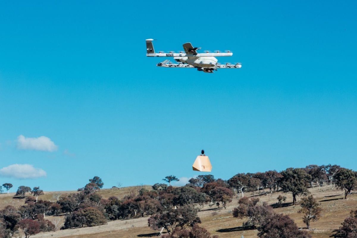
Drone Delivery and Inspection Services
The utilization of drones for delivery and inspection services has disrupted traditional industries, offering efficient and innovative solutions for a variety of applications. Let’s explore the growing opportunities and benefits of drone delivery and inspection services:
1. Delivery Services: Drones have the potential to revolutionize the logistics industry by offering faster and more efficient delivery options. They can navigate through congested urban areas, bypassing traffic and delivering packages directly to the intended destinations.
2. Rapid response and emergency services: Drones equipped with essential supplies, such as medical equipment or life-saving medications, can be deployed to remote or disaster-stricken areas quickly. This enables first responders to reach people in need faster, potentially saving lives.
3. Infrastructure inspections: Drones are capable of conducting comprehensive and cost-effective inspections of critical infrastructure, such as bridges, power lines, and pipelines. They can capture high-resolution images and footage, allowing professionals to identify and address potential issues in a timely manner.
4. Environmental monitoring: Drones are valuable tools for environmental monitoring and conservation efforts. They can capture aerial images and collect data on ecosystem health, wildlife populations, and natural resource management. This data aids in making informed decisions for environmental preservation and restoration.
5. Agricultural applications: Drones equipped with specialized sensors and cameras can provide valuable insights for farmers. They can monitor crops, assess plant health, identify areas in need of irrigation or fertilization, and help farmers optimize their resources for increased productivity.
6. Safety inspections: Drones equipped with thermal sensors and other advanced technologies can inspect hazardous or hard-to-reach areas. They can assess structural integrity, detect leaks or faults, and conduct safety inspections in potentially dangerous environments, reducing human risk.
7. Surveillance and security: Drones equipped with cameras and surveillance capabilities can enhance security measures in various settings. They can monitor large areas, identify potential threats, and provide real-time updates, making them valuable for public safety and law enforcement agencies.
8. Remote monitoring and maintenance: Drones can be programmed to autonomously monitor and maintain equipment or infrastructure in remote locations. They can detect anomalies, perform routine inspections, and address maintenance needs, minimizing the need for human intervention and reducing costs.
9. Improved cost-efficiency: The utilization of drones for delivery and inspection services can significantly reduce costs associated with traditional methods. Drones offer a faster turnaround time, require fewer human resources, and can access hard-to-reach areas, making operations more efficient and cost-effective.
10. Future potential: As drone technology continues to advance, the possibilities for delivery and inspection services are constantly expanding. Concepts such as drone taxis and autonomous delivery fleets are already being explored, hinting at a future where drones play an increasingly significant role in our daily lives.
The adoption of drone delivery and inspection services presents exciting opportunities across various industries. From enhancing efficiency and cost-savings to improving safety and environmental monitoring, drones are driving innovation and reshaping the way we handle crucial tasks and services.
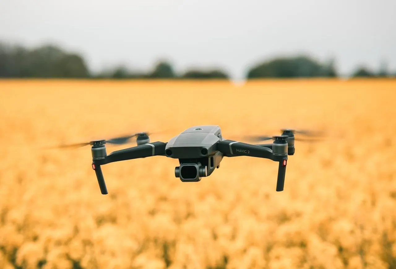
Drone Agriculture and Conservation
The integration of drones in agriculture and conservation practices has revolutionized the way we approach these fields. Drones offer unique advantages in terms of data collection, monitoring, and precision applications. Let’s delve into the benefits and applications of drones in agriculture and conservation:
1. Crop monitoring: Drones equipped with specialized sensors and cameras can monitor crops with high-resolution aerial imagery. This enables farmers to assess crop health, identify areas of concern, and make informed decisions regarding irrigation, fertilization, and disease prevention. The data obtained through drone monitoring helps optimize resource allocation and maximize crop yields.
2. Precision agriculture: Drones offer precise and targeted application of fertilizers, pesticides, and water through automated systems. This ensures that resources are used efficiently, minimizing waste and environmental impact. The ability to apply inputs in specific areas based on real-time data improves crop health and reduces costs for farmers.
3. Livestock monitoring: Drones equipped with thermal imaging or high-resolution cameras can aid in monitoring livestock herds. They can help identify injured or missing animals, monitor feed and water conditions, and track animal behavior. This allows farmers to optimize herd management and improve animal welfare.
4. Wildlife conservation: Drones contribute to wildlife conservation efforts by aiding in population monitoring, habitat mapping, and anti-poaching initiatives. They can gather data on protected species, detect illegal activities, and provide crucial information for conservation decision-making. Drones help researchers, conservationists, and park rangers with efficient and non-invasive means of studying and protecting wildlife.
5. Environmental impact assessment: Drones assist in assessing the environmental impact of human activities. They can capture aerial imagery, create mapping models, and monitor changes in vegetation cover, deforestation, or soil erosion. This helps guide conservation efforts, monitor ecosystems, and promote sustainable land management practices.
6. Mapping and surveying: Drones equipped with mapping software and high-resolution cameras enable accurate and efficient land mapping, surveying, and topographic modeling. This technology allows for faster and more cost-effective data collection and analysis, supporting land development, urban planning, and conservation initiatives.
7. Water management: Drones aid in monitoring water resources, such as lakes, rivers, and reservoirs. They can assess water quality, detect pollution, and measure water levels. By gathering this data, water management authorities can make informed decisions regarding resource allocation and conservation.
8. Rapid response in natural disasters: Drones play a crucial role in disaster management and response. They can assess damage, locate survivors, and identify hazardous areas without risking human lives. Drones provide real-time situational awareness and aid in rapid and effective decision-making during natural disasters.
9. Erosion control and reforestation: Drones assist in erosion control by monitoring and mapping vulnerable areas. Additionally, they contribute to reforestation efforts by accurately planting trees in targeted locations. Drones help restore ecosystems, reduce soil erosion, and mitigate the impacts of climate change.
10. Research and data collection: Drones offer researchers a powerful tool for collecting data in remote or challenging environments. They can be used to study ecosystems, track migratory patterns, and conduct environmental research. Drones provide valuable insights into the natural world while minimizing disturbances.
The integration of drones in agriculture and conservation practices offers numerous benefits, ranging from optimized resource management to efficient data gathering. As technology continues to advance, drones will continue to play a pivotal role in sustainable and precision-driven practices, contributing to the growth and preservation of these vital fields.
Drone Search and Rescue Operations
Drone technology has greatly enhanced search and rescue operations by providing efficient and effective solutions in a wide range of emergency situations. Drones offer unique capabilities that aid in locating missing persons, assessing hazardous areas, and facilitating swift response. Let’s explore the benefits and applications of drones in search and rescue operations:
1. Aerial search capabilities: Drones equipped with high-resolution cameras and thermal imaging sensors can cover large areas in a short amount of time. They provide an aerial perspective, allowing search and rescue teams to quickly identify potential targets, search areas, or hazards.
2. Rapid deployment: Drones can be deployed rapidly, reducing response times in critical situations. They can launch from various locations, such as emergency vehicles or designated areas, and quickly provide real-time visual or thermal imagery to incident commanders.
3. Low-risk operations: Drones mitigate risks associated with traditional search and rescue operations that involve human personnel in hazardous environments. They can access hard-to-reach or dangerous areas, such as collapsed buildings, rugged terrains, or flooded regions, without endangering the lives of rescuers.
4. Nighttime or low visibility operations: Drones equipped with infrared cameras or thermal sensors are valuable tools in nighttime or low visibility conditions. They can detect heat signatures and provide visibility in situations where human vision is limited.
5. Remote communication: Drones equipped with communication devices, such as loudspeakers or two-way radios, can establish contact with survivors or lost individuals in remote locations. This capability allows rescuers to provide instructions, gather critical information, and offer reassurance to those in distress.
6. Delivery of supplies and equipment: Drones can transport essential supplies, medical kits, or communication devices to individuals in need, especially in areas where access is difficult. This capability ensures that critical resources reach survivors or victims promptly.
7. Real-time data collection: Drones capture real-time imagery and video footage that can be streamed to the command center or incident response teams. This data helps incident commanders make informed decisions, assess the situation, and allocate resources effectively.
8. Incident documentation and reconstruction: Drones can document the scene of an incident or accident, aiding in reconstruction efforts and providing valuable evidence for investigations. The recorded footage or images obtained by drones can be analyzed, shared, and utilized for training and analysis purposes.
9. Monitoring hazardous situations: Drones equipped with gas sensors or radiation detectors can monitor hazardous environments, such as chemical spills or nuclear incidents. They provide real-time data on air quality, radiation levels, and the presence of dangerous substances, contributing to timely decision-making and risk assessment.
10. Collaboration with other technologies: Drones can work in conjunction with other technologies, such as GPS, AI, and advanced imaging systems, to enhance search and rescue operations. For example, AI algorithms can analyze drone footage to identify potential survivors or analyze patterns in search areas.
The integration of drones in search and rescue operations has significantly improved the efficiency, efficacy, and safety of these critical missions. With ongoing advancements in technology and regulations, drones continue to play a vital role in saving lives and providing assistance in emergency scenarios.
Drone Mapping and Surveying
Drone mapping and surveying have revolutionized the field of land surveying, providing accurate and efficient solutions for capturing geographic data. Drones equipped with advanced imaging technology and GPS capabilities offer numerous benefits for mapping, surveying, and geospatial analysis. Let’s explore the advantages and applications of drones in mapping and surveying:
1. Rapid data collection: Drones enable quick and efficient data collection for mapping and surveying purposes. With automated flight patterns, drones can cover large areas in a fraction of the time compared to traditional surveying methods.
2. High-resolution imagery: Drones capture high-resolution aerial images, allowing for detailed mapping and precise analysis. This level of imaging provides accurate representations of the terrain, structures, and features of the surveyed area.
3. Terrain modeling and 3D mapping: Drones can generate detailed 3D models of the surveyed area by capturing multiple images from different angles. These models enable accurate terrain mapping, volumetric calculations, and visualization of physical features.
4. Cost-effective: The utilization of drones in mapping and surveying is often more cost-effective than traditional methods. Drones require fewer personnel, reduce field time, and provide faster data processing, resulting in reduced expenses for surveying projects.
5. Enhanced accuracy and precision: Drones equipped with GPS and other positioning technologies can achieve high levels of accuracy for surveying and mapping applications. With the ability to precisely capture coordinates, drones provide reliable data for geospatial analysis and mapping projects.
6. Access to hard-to-reach areas: Drones can access areas that may be challenging or dangerous for surveyors to reach on foot. They are particularly useful in surveying steep terrains, forests, or remote locations that pose barriers to traditional surveying methods.
7. Monitoring and change detection: Regular drone flights at specific intervals enable monitoring of construction sites, infrastructure projects, or environmental changes over time. By capturing ongoing images and comparing them, drones can detect changes, monitor progress, and identify potential issues.
8. Environmental analysis and resource management: Drones aid in environmental analysis and resource management by mapping ecological features, monitoring land use, and assessing vegetation health. This data can inform conservation efforts, land management decisions, and resource allocation.
9. Disaster assessment and response: Drones provide invaluable assistance in disaster assessment and post-disaster response. They can rapidly collect data on damaged structures, impacted areas, and infrastructure failures, aiding in swift and targeted recovery efforts.
10. Integration with GIS and data analysis: Drone mapping and surveying data seamlessly integrate with Geographic Information Systems (GIS) and other data analysis tools. This integration allows for seamless data processing, spatial analysis, and the creation of accurate and up-to-date maps for various applications.
By leveraging the power of drones in mapping and surveying, professionals can rapidly collect accurate data, improve decision-making, and streamline various analyses. This technology continues to advance, offering new opportunities and fostering innovation in the field of geospatial information.
Drone Journalism and Filmmaking
The emergence of drone technology has opened up new possibilities for journalism and filmmaking, enabling professionals to capture unique and captivating visuals from the sky. Drones equipped with cameras offer a fresh perspective, allowing journalists and filmmakers to tell compelling stories and create visually stunning works. Let’s explore the impact and applications of drones in journalism and filmmaking:
1. Aerial storytelling: Drones bring a new dimension to storytelling by capturing aerial perspectives that were previously inaccessible. They provide a dynamic and immersive experience, enhancing the visual impact of journalism and filmmaking projects.
2. Uncovering unique angles: Drones provide unprecedented access to unusual angles and vantage points. Journalists and filmmakers can capture breathtaking aerial shots, revealing hidden details, and providing a comprehensive view of events, locations, or subjects.
3. Enhanced visual narratives: The use of drone footage adds depth and context to visual narratives. It creates a sense of scale, showcases environmental features, or highlights the relationship between subjects and their surroundings.
4. Live coverage and real-time reporting: Drones equipped with live-streaming capabilities allow journalists to report breaking news and events in real-time. They can capture footage from the scene, providing up-to-the-minute coverage for audiences worldwide.
5. Diverse subject matter: Drones can capture a wide range of subject matter, from capturing natural disasters, urban landscapes, or large-scale events to exploring remote locations and wildlife habitats. They provide an array of captivating visuals for journalistic and cinematic storytelling.
6. Environmental and documentary filmmaking: Drones are immensely useful in environmental and documentary filmmaking. They capture footage of remote locations, endangered species, and environmental changes, shedding light on pressing issues and promoting awareness.
7. Efficient and cost-effective production: Using drones reduces the need for expensive helicopter rentals or elaborate production setups. Their smaller size and lower cost make them a practical choice for indie filmmakers, videographers, and news organizations.
8. Creative flexibility: Drones offer creative freedom and flexibility for filmmakers and journalists to experiment with shot compositions, movements, and angles. This freedom allows for innovative storytelling techniques and artistic expression.
9. Safety and accessibility: Drones allow access to risky or inaccessible areas, such as disaster zones or conflict zones, without jeopardizing journalist or filmmaker safety. They provide a means to capture critical footage while minimizing human risk.
10. Ethical considerations: While using drones for journalism and filmmaking, it is essential to adhere to ethical considerations and privacy regulations. Respecting personal privacy, obtaining necessary permissions, and avoiding intrusive behavior are crucial to maintaining ethical standards.
Overall, drone technology has transformed the way journalists report and filmmakers tell visual stories. By capturing aerial perspectives, drones bring a fresh and engaging visual experience to journalism and filmmaking, pushing the boundaries of visual storytelling and captivating audiences worldwide.
Future of Drones: AI and Automation
The future of drones is closely tied to advancements in artificial intelligence (AI) and automation. The combination of drone technology with AI capabilities is set to revolutionize various industries, unlocking new possibilities and optimizing operations. Let’s explore the exciting potential of AI and automation in the future of drones:
1. Autonomous navigation: AI-powered drones can navigate autonomously, using advanced algorithms and sensors to detect and avoid obstacles in real-time. This enables safer and more efficient operations, especially in complex and dynamic environments.
2. Intelligent flight planning: Drones equipped with AI algorithms can dynamically plan flight paths, optimizing routes for efficiency, time, and energy consumption. These AI-enabled drones can adapt to changing weather conditions, airspace restrictions, or mission requirements.
3. Object detection and recognition: AI algorithms can enable drones to detect and recognize objects of interest, such as vehicles, animals, or specific landmarks. This capability enhances surveillance, search and rescue, and inspection missions by automatically identifying relevant targets.
4. Precision agriculture and resource management: AI-powered drones can analyze data collected from sensors and imagery to provide real-time analysis of crop health, soil conditions, and resource needs. This allows for precise application of resources, optimal irrigation, and targeted interventions in agricultural practices.
5. Intelligent data processing: AI algorithms can process large amounts of data collected by drones rapidly. This enables quick analysis, interpretation, and extraction of valuable insights from aerial imagery, assisting in decision-making processes across various industries.
6. Swarm intelligence: The development of AI algorithms can enable drones to collaborate and operate as a swarm. Working together, swarm drones can tackle larger, more complex missions by distributing tasks, sharing data, and adapting their behavior based on collective intelligence.
7. Improved imaging and analytics: AI algorithms can enhance image processing and analytics capabilities for drones. This includes object tracking, image recognition, and real-time video analysis, enabling more accurate and detailed information extraction from aerial footage.
8. Smart infrastructure inspection: AI-enabled drones can intelligently inspect infrastructure, such as bridges, buildings, or power lines. They can detect anomalies, identify areas of maintenance or repair, and provide predictive maintenance capabilities to prevent failures or accidents.
9. Collaborative applications: Drones equipped with AI algorithms can collaborate with other intelligent systems, such as robotics, IoT devices, or autonomous vehicles. This collaboration can lead to integrated solutions for various industries, enhancing efficiency, and enabling seamless operations.
10. Regulatory and safety advancements: AI and automation technologies can assist in establishing robust safety protocols and regulations for drone operations. This includes developing AI-based systems for airspace management, collision avoidance, and monitoring compliance with aviation regulations.
The future of drones lies in the synergy between AI and automation, allowing for smarter, efficient, and versatile aerial systems. With ongoing research and technological advancements, we can expect to witness even greater integration of AI and automation in drones, leading to transformative applications and benefiting a wide range of industries.
Conclusion
The rapid evolution of drone technology has transformed various industries, offering exciting possibilities and innovative solutions. Drones have not only become popular among hobbyists but have also found myriad applications in fields such as photography, delivery services, search and rescue operations, agriculture, journalism, and filmmaking, to name a few.
Choosing and buying the right drone is crucial, considering factors such as budget, intended use, flight capabilities, and portability. Registering the drone is essential to comply with regulations set by aviation authorities and ensure responsible ownership.
Learning to fly a drone is a skill that requires practice and adhering to safety guidelines. It is important to fly in approved areas, within visual line of sight, and following the specific regulations for your country. Safety should always be the top priority to prevent accidents and respect privacy.
Drones offer immense opportunities for aerial photography and videography. By capturing stunning images and videos from unique vantage points, drones add a level of creativity and visual appeal to projects. Editing and sharing aerial footage further enhance the quality and accessibility of the content.
Drones have also made their mark in competitive activities like drone racing, where pilots maneuver their agile drones through challenging courses. Additionally, drones are being used for various purposes such as delivery services, infrastructure inspections, agriculture and conservation, search and rescue operations, mapping and surveying, journalism, and filmmaking.
The future of drones is bright, with AI and automation poised to drive further advancements. AI-powered drones will enable autonomous navigation, intelligent flight planning, and precise data analysis, revolutionizing industries and improving efficiency, safety, and accuracy in operations.
As drone technology continues to evolve, it is important to keep in mind the ethical considerations and privacy regulations associated with drone usage. Respecting privacy, obtaining necessary permissions, and following regulations are integral to maintaining responsible drone ownership and operations.
With the rapid progress made in drone technology, the potential for even more exciting applications and advancements looms on the horizon. Embracing drones as valuable tools and continually pushing the boundaries of their capabilities will undoubtedly contribute to a future where drones play a crucial role in various industries, making our lives easier, safer, and more enjoyable.