Introduction
Welcome to the exciting world of drones! Over the past decade, drones have evolved from a niche hobbyist tool to a mainstream technology with a wide range of applications. These unmanned aerial vehicles (UAVs) have revolutionized various industries and opened up new possibilities for individuals and businesses alike.
One of the key reasons for the surge in popularity is the versatility of drones. With their ability to navigate the skies and capture stunning aerial perspectives, drones have become invaluable in a multitude of fields. Whether it’s for professional use or recreational purposes, drones offer a myriad of possibilities limited only by our imagination.
In this article, we will explore some of the most common and practical uses for drones. From aerial photography and filmmaking to search and rescue operations, the applications of drones are vast and constantly expanding. Let’s take a closer look at these fascinating opportunities.
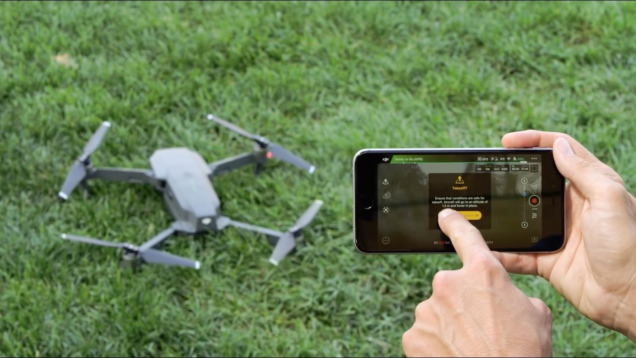
Before diving into the specific applications, it’s essential to note that operating a drone should be done in accordance with local laws and regulations. It’s crucial to acquire the necessary permits, licenses, and certifications, and abide by all safety guidelines. Safety should always be the top priority when operating any drone.
Whether you’re a professional photographer, filmmaker, real estate agent, or simply an enthusiast, drones can elevate your work and offer breathtaking new perspectives. With their ability to capture stunning aerial photographs and videos, drones have become an indispensable tool for aerial photography. By maneuvering a drone into the sky, you can capture unique, bird’s-eye views of landscapes, cityscapes, and other subjects that were previously inaccessible.
Filmmaking and cinematography has also been significantly impacted by the use of drones. With their ability to smoothly maneuver and capture dynamic shots, drones have become an essential tool for filmmakers. From sweeping establishing shots to detailed chase sequences, drones have added a new dimension to the world of cinematography.
Real estate marketing has embraced the use of drones to showcase properties from a completely new perspective. Drone photography and videography allow potential buyers to view properties in a more immersive and comprehensive way. With aerial shots, prospective buyers can get a better understanding of the property’s surroundings, its landscaping, and any potential issues.
These are just a few of the exciting uses for drones. Let’s explore more applications in the following sections.
Aerial Photography
Aerial photography is one of the most popular and widespread uses of drones. With their ability to soar high in the sky and capture breathtaking images from a unique perspective, drones have revolutionized the field of photography. Whether it’s capturing stunning landscapes, architectural marvels, or documenting events, drones offer photographers a whole new realm of creative possibilities.
One of the biggest advantages of using drones for aerial photography is the freedom and flexibility they offer. Traditional photography from the ground can be limiting, with obstacles and restricted viewpoints. Drones, on the other hand, can be flown at varying altitudes and angles, providing an array of perspectives that were once out of reach.
Drone cameras are equipped with high-resolution sensors, enabling photographers to capture detailed and high-quality images. These drones are also equipped with stabilization technology that ensures the images remain sharp and clear, even in windy conditions. This combination of high resolution and stability allows photographers to capture awe-inspiring shots that were previously difficult or impossible to obtain.
Aerial photography has applications in various industries. In the real estate sector, aerial photos can showcase properties in a way that traditional photography cannot. Potential buyers can get a better sense of the property’s layout, size, and surrounding environment. This can be especially valuable for large properties, estates, and properties with unique features such as waterfront or scenic views.
The tourism and hospitality industry also benefit greatly from aerial photography. Hotels, resorts, and tourist destinations can use drone imagery to highlight their amenities, breathtaking landscapes, and attractions. These images help in attracting visitors and providing them with a glimpse of what they can expect during their visit.
Aerial photography is not only limited to commercial use. Many hobbyist photographers have embraced drone photography as a way to capture remarkable images and explore their creativity. From capturing stunning sunsets and natural landscapes to documenting events and special occasions, drones have empowered photographers with a new perspective and endless opportunities.
Whether you’re a professional photographer or an amateur enthusiast, drone aerial photography offers a unique and exhilarating experience. It allows you to push the boundaries of creativity and capture images from angles that were once only possible for professional aircraft photographers. With the ever-evolving technology and improvements in drone cameras, the potential for stunning aerial photography continues to grow.
Filmmaking and Cinematography
When it comes to filmmaking and cinematography, drones have become an essential tool, revolutionizing the way visual content is captured and presented. With their ability to fly, maneuver, and capture dynamic shots from unique perspectives, drones have opened up a whole new world of possibilities for filmmakers.
One of the major advantages of using drones in filmmaking is the ability to capture sweeping and immersive aerial shots. In the past, filmmakers relied on expensive helicopter rentals or crane shots to achieve these types of shots, but drones have made them more accessible and cost-effective. With drones, filmmakers can easily capture stunning establishing shots, aerial tracking shots, and even intricate chase sequences.
Drones equipped with high-quality cameras allow filmmakers to capture cinematic footage with remarkable clarity. It’s now possible to achieve professional-grade imagery without the need for expensive and cumbersome equipment. This gives filmmakers the freedom to focus on storytelling and creative expression, rather than being limited by technical constraints.
In addition to capturing grand aerial shots, drones can also be used for more intimate and immersive cinematography. With their compact size and versatility, drones can navigate through tight spaces, capturing shots that were once challenging or impossible to achieve. This ability opens up a world of new possibilities for filmmakers to experiment with unique angles and perspectives.
Moreover, drones can add a level of visual spectacle to films, enhancing the overall production value. Whether it’s capturing dynamic chase sequences, showcasing breathtaking landscapes, or providing bird’s-eye views of cities, drones can bring a sense of awe and grandeur to the screen.
The use of drones in filmmaking is not limited to big-budget productions, as even independent filmmakers and aspiring cinematographers can benefit from their capabilities. Drones provide a cost-effective alternative to expensive equipment and crew, allowing filmmakers with limited resources to capture high-quality and visually stunning footage.
Furthermore, drones can capture footage in challenging environments, such as rugged terrains or extreme weather conditions, which would be difficult or risky for traditional camera setups. This flexibility allows filmmakers to tell stories in settings that were once considered too inaccessible or dangerous.
The integration of drones into filmmaking and cinematography has elevated the possibilities of visual storytelling. From epic aerial shots to intimate and immersive sequences, drones have become an invaluable tool for filmmakers to bring their creative visions to life.
Real Estate Marketing
Real estate marketing has undergone a significant transformation with the advent of drones. Drones have become an invaluable tool for real estate agents and property developers, enabling them to showcase properties in a whole new way. With their ability to capture stunning aerial photographs and videos, drones provide a unique and immersive experience for potential buyers.
One of the key advantages of using drones in real estate marketing is the ability to provide a comprehensive view of the property and its surroundings. Aerial shots can highlight the property’s proximity to amenities, nearby parks, or scenic views. This helps potential buyers visualize the location and make informed decisions.
Drones also allow for a more engaging and interactive virtual tour experience. Traditional property photos or videos can often be limiting in showcasing the true scale and layout of a property. With drone footage, potential buyers can get a better sense of the property’s size, layout, and landscaping, both inside and out.
In addition to capturing exterior shots, drones can also be used to showcase the interior of properties. By maneuvering through rooms, flying up staircases, and showcasing unique architectural features, drones provide a unique and immersive perspective for potential buyers.
Moreover, drones can capture property footage during different times of the day, showcasing how the property looks in various lighting conditions. This can be especially valuable for properties with stunning sunrises, sunsets, or those that boast captivating nighttime views.
The use of drones in real estate marketing has proven to be effective in attracting potential buyers and generating leads. Properties with well-executed drone footage tend to stand out in online listings and marketing materials, capturing the attention of prospective buyers. Drones offer a competitive edge in the real estate market by providing a unique and captivating visual representation of properties.
Furthermore, incorporating drones into real estate marketing can save time and resources. Traditional photography or videography techniques often require expensive equipment, professional photographers, or even renting helicopters. Drones offer a more cost-effective and efficient solution, allowing real estate agents to produce high-quality visuals in a shorter time frame.
Overall, the integration of drones in real estate marketing has transformed the way properties are showcased to potential buyers. The immersive and comprehensive perspective that drones provide enhances the overall marketing strategy, attracting more interest and helping properties stand out in a crowded market.
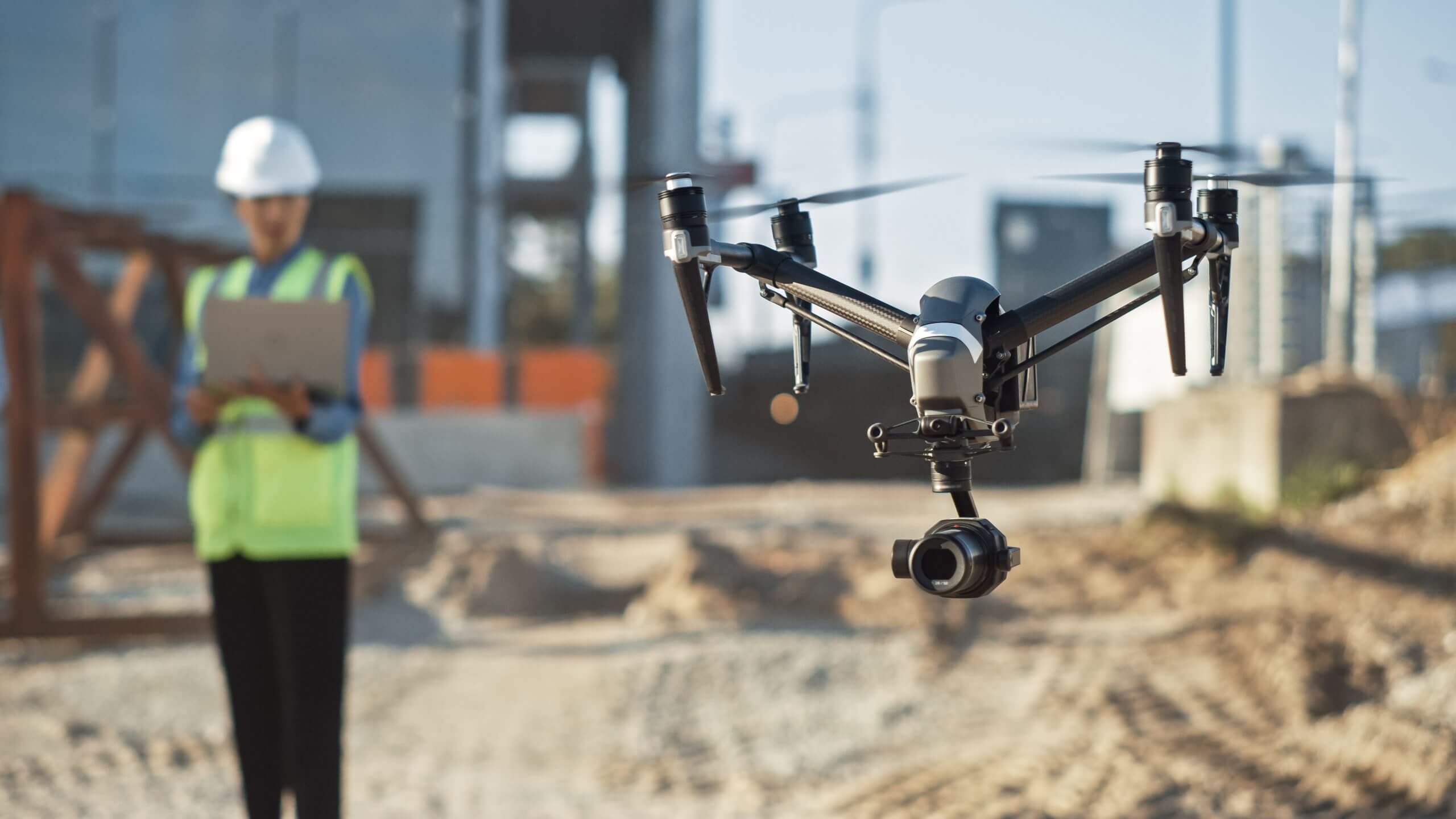
Construction and Architecture
The construction and architecture industries have benefited greatly from the use of drones. Drones have become an invaluable tool for architects, construction companies, and project managers, offering a range of applications that enhance productivity, safety, and project management.
One of the primary uses of drones in construction and architecture is surveying and mapping. Drones equipped with high-resolution cameras and LiDAR technology can capture accurate and detailed aerial data of construction sites. This data can then be used to create 3D models, topographic maps, and site plans, aiding in the planning and design phases of construction projects.
Drones also play a crucial role in monitoring construction progress. By regularly flying over construction sites and capturing aerial photography and videos, project managers can track the evolution of a project, identify issues, and make informed decisions. This enhances project management efficiency, allowing for timely adjustments and improved communication among stakeholders.
When it comes to safety, drones provide a significant advantage in inspections and maintenance. Traditionally, inspectors and maintenance crews had to physically access structures, such as bridges or high-rise buildings, which can be time-consuming, costly, and potentially risky. With drones, inspections can be done remotely, reducing the need for personnel to be in potentially hazardous situations. Drones can capture high-resolution images and videos of structures, allowing for detailed analysis and identification of any maintenance or repair needs.
The use of drones in construction and architecture also enhances communication and collaboration among project teams. Drones can be utilized to provide visual updates on construction progress to clients and stakeholders, improving transparency and facilitating discussions. Architects can use drone-captured imagery to visualize design concepts within a real-world context, supporting effective communication with clients.
Furthermore, drones can assist in optimizing material management and inventory control. By conducting aerial surveys, drones can accurately monitor and assess stockpiles of construction materials, helping teams track inventory levels and prevent shortages. This data-driven approach ensures efficient resource allocation and minimizes wastage.
Another significant benefit of drones in construction and architecture is their ability to capture marketing materials, such as promotional videos or images of completed projects. Aerial footage showcasing the scale and design of buildings or infrastructure can be used in marketing campaigns, attracting potential clients and showcasing the expertise of construction and architecture firms.
In summary, drones have become an indispensable tool in the construction and architecture industries. From surveying and mapping to project monitoring, inspections, and marketing, drones streamline processes, enhance safety, and improve project management. As drone technology continues to advance, its integration into these industries will continue to drive innovation and improve overall efficiency.
Search and Rescue Operations
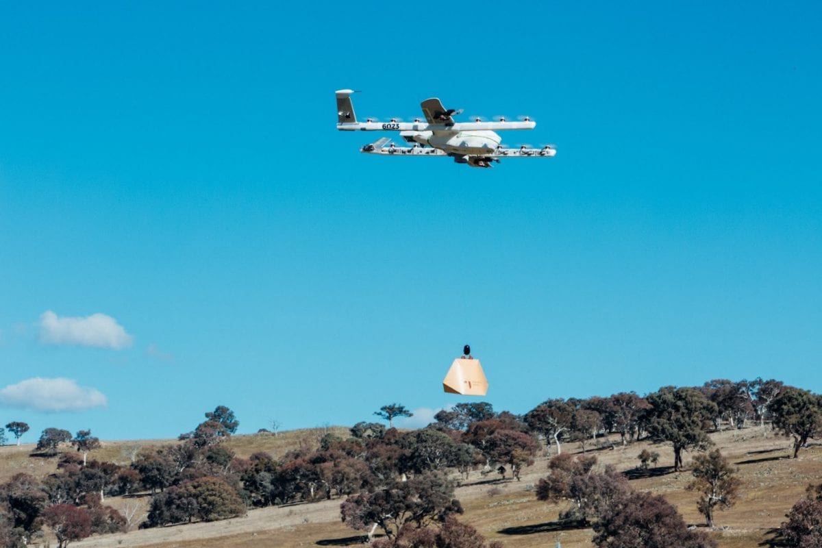
When it comes to search and rescue operations, drones have become an essential tool that can save lives and expedite rescue efforts. With their ability to quickly cover large areas and access remote or hazardous locations, drones have revolutionized the way search and rescue missions are conducted.
One of the key advantages of using drones in search and rescue operations is their ability to provide an aerial view of the search area. Drones equipped with high-resolution cameras can quickly survey vast areas, allowing rescue teams to locate missing persons or assess the extent of a disaster. This aerial perspective provides valuable information that can help in strategizing and directing ground personnel.
Drones also play a crucial role in accessing hard-to-reach or hazardous areas. In situations where it may be dangerous or difficult for rescue teams to physically enter certain locations, drones can be deployed to gather visual information and assess the situation. This allows rescue teams to make informed decisions and plan the most efficient and safe approach.
Moreover, drones equipped with thermal imaging cameras or infrared sensors can aid in the detection of survivors, especially in low-light conditions or when individuals are hidden from view. These sensors can detect heat signatures and help locate people who may be trapped or in need of assistance.
Drones also serve as a valuable communication tool during search and rescue operations. Equipped with audio or loudspeaker systems, drones can broadcast pre-recorded messages or provide real-time communication with individuals in distress. This enables rescuers to provide reassurance, instructions, or gather important information until they can physically reach the affected area.
Time is often critical in search and rescue operations, and drones can significantly expedite the process. Compared to traditional methods that rely solely on ground personnel, drones can cover large areas in a fraction of the time, increasing the chances of finding missing persons or responding to emergencies promptly.
Additionally, drones can provide situational awareness to incident commanders and decision-makers. Real-time footage and updates from drones enable effective coordination of resources, timely deployment of personnel, and informed decisions based on current information.
The use of drones in search and rescue operations has proved to be highly effective and efficient, improving the success rate and minimizing risks for both rescuers and survivors. As drone technology continues to advance, with features such as longer flight times and improved sensors, their role in search and rescue efforts will undoubtedly become even more crucial.
Wildlife Monitoring and Conservation
Drones have emerged as a valuable tool in wildlife monitoring and conservation efforts, offering researchers and conservationists a new and effective way to study and protect various species. By providing an aerial perspective and gathering data from otherwise inaccessible locations, drones have revolutionized the field of wildlife monitoring and conservation.
One of the primary uses of drones in wildlife conservation is population monitoring. Drones equipped with high-resolution cameras can capture images and videos of animals in their natural habitats without causing disruptions. This data allows researchers to estimate population sizes, track migration patterns, and monitor changes in wildlife distributions, providing valuable insights for conservation planning.
Drones equipped with advanced imaging technologies, such as thermal sensors or multi-spectral cameras, can also help in the identification and monitoring of endangered or elusive species. These drones can detect and track animals based on their heat signatures or unique spectral patterns, assisting researchers in studying population dynamics and assessing the health of individual animals.
In addition to population monitoring, drones play a crucial role in ecosystem monitoring. By flying over vast landscapes, drones can capture high-resolution aerial imagery that helps researchers assess habitat conditions, vegetation cover, and the impact of human activities on ecosystems. This information is vital for implementing effective conservation strategies and identifying areas that require protection or restoration.
Furthermore, drones aid in the identification and monitoring of illegal activities, such as poaching or habitat destruction. Drones equipped with specialized sensors or cameras can detect suspicious activities and provide real-time information to authorities, enabling swift action to be taken against wildlife crimes. This proactive approach not only helps protect wildlife but also enhances the safety of rangers and conservation personnel.
Another significant advantage of using drones in wildlife monitoring and conservation is their ability to access remote and challenging terrains. They can reach areas that are difficult for humans to access, such as dense forests, cliffs, or wetlands, allowing for a more comprehensive understanding of wildlife habitats and behaviors.
Moreover, the use of drones reduces disturbances to wildlife, as they can monitor animals from a safe distance without intruding into their habitats. This non-invasive approach minimizes stress and disturbance to wildlife, ensuring more accurate and ethical data collection for research and conservation purposes.
Overall, drones have revolutionized wildlife monitoring and conservation efforts, providing researchers and conservationists with a powerful tool to study and protect vulnerable species and their habitats. The aerial perspective, data collection capabilities, and non-invasive nature of drones make them an invaluable asset in safeguarding biodiversity and creating effective conservation strategies.
Crop Management and Agriculture
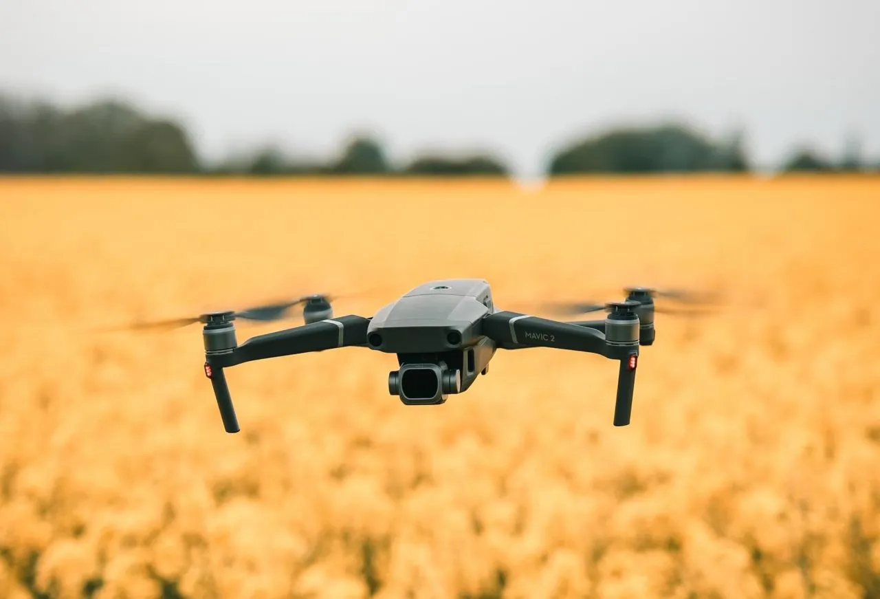
Drones have become an indispensable tool in crop management and agriculture, offering farmers and agricultural professionals a powerful means to optimize crop production, monitor plant health, and improve overall efficiency. With their ability to collect high-resolution data quickly and accurately, drones have transformed the way agriculture is practiced.
One of the primary uses of drones in agriculture is crop monitoring. Equipped with various sensors, drones can capture multispectral or thermal images, providing valuable insights into crop health and identifying areas of concern. This data allows farmers to detect early signs of crop stress, nutrient deficiencies, or pest infestations that may not be visible to the naked eye. By identifying these issues promptly, farmers can take targeted actions to prevent yield losses and apply the necessary treatments effectively.
Drones also play a crucial role in precision agriculture. By precisely mapping and surveying fields, drones aid in the efficient application of fertilizers, pesticides, and irrigation. By identifying areas that require specific treatments and optimizing resource allocation, farmers can minimize costs, reduce environmental impact, and maximize yield potential.
The ability of drones to access remote or hard-to-reach areas of fields is particularly valuable for large farms or farms with challenging terrain. Drones can survey these areas quickly and easily, reducing the time and effort required for manual inspections and eliminating the need for farmers to physically access those areas.
Furthermore, drones assist in crop mapping and yield estimation. By capturing aerial imagery of fields at various growth stages, drones can create detailed maps that provide valuable information about crop growth patterns, variability within fields, and potential yield predictions. This data allows farmers to make informed decisions regarding planting strategies, crop rotation, and resource allocation for future seasons.
In addition to crop management, drones can also optimize irrigation practices. By analyzing aerial imagery, drones can detect areas of overwatering or underwatering, allowing farmers to target irrigation efforts more effectively. This precision irrigation approach conserves water resources and ensures that crops receive the optimal amount of water for their growth and development.
Moreover, the integration of drones with other technologies, such as GPS and autonomous flight capabilities, further enhances their effectiveness in agriculture. Drones can be programmed to follow predefined flight paths, collecting data systematically and efficiently. This automation saves time and resources, allowing farmers to focus on other essential tasks.
The use of drones in agriculture has revolutionized crop management, enabling farmers to make data-driven decisions and optimize their operations. The ability to quickly survey, monitor, and analyze crops from above provides valuable insights that were once time-consuming or not easily accessible. As drone technology continues to advance, their applications in agriculture will only expand, improving productivity and sustainability in the industry.
Surveying and Mapping
Drones have revolutionized the field of surveying and mapping, providing a faster, more cost-effective, and accurate method for capturing geospatial data. With their ability to capture high-resolution imagery, collect precise measurements, and navigate complex terrains, drones have become an invaluable tool for professionals in the surveying and mapping industry.
One of the primary uses of drones in surveying and mapping is land surveying. Traditional land surveying methods can be time-consuming and require physical presence on the ground. Drones offer a faster alternative by rapidly capturing aerial imagery and creating accurate maps and models of the land. This enables surveyors to obtain precise measurements, contours, or volumes of land, saving time, and reducing costs.
Drones equipped with advanced imaging technologies, such as LiDAR or photogrammetry, can generate highly detailed point clouds and 3D models of the terrain. These models provide detailed elevation data and allow for a more comprehensive understanding of the landscape. This information is valuable in various industries, including urban planning, infrastructure development, and environmental management.
In addition to land surveying, drones have proven to be effective in mapping large areas, such as forests, water bodies, or construction sites. By autonomously flying over these areas and capturing aerial imagery, drones can produce high-resolution maps, orthomosaic images, and digital elevation models. These maps and models provide valuable data for land management, resource planning, and environmental monitoring.
One of the significant advantages of using drones in surveying and mapping is their ability to access and map areas that are difficult or hazardous for humans to reach. Whether it’s rugged terrains, steep slopes, or post-disaster areas, drones can fly and collect data in these challenging environments, providing critical information without putting surveyors’ safety at risk.
Drones can also contribute to the accuracy and efficiency of infrastructure surveys. From bridges and highways to buildings and pipelines, drones can capture detailed imagery and measurements to assess the condition and identify potential issues. This real-time data enables organizations to make informed decisions regarding maintenance or replacement, improving safety and reducing costly downtime.
Another area where drones excel in surveying and mapping is in the field of archaeology. By capturing aerial imagery, drones can help archaeologists survey and map archaeological sites, identify hidden features, and obtain an overall picture of historical landscapes. This aids in the preservation and documentation of cultural heritage.
In summary, drones have transformed the field of surveying and mapping, providing professionals with a faster, more accurate, and cost-effective method for capturing geospatial data. From land surveying and mapping to infrastructure assessments and archaeological surveys, drones offer valuable insights and improve the efficiency and accuracy of mapping and surveying projects.
Inspections and Maintenance
Drones have revolutionized inspections and maintenance in various industries, providing a safer, more efficient, and cost-effective method for assessing and maintaining infrastructure, buildings, and equipment. With their ability to access difficult-to-reach areas and capture detailed imagery, drones have become an invaluable tool for professionals in the field of inspections and maintenance.
One of the primary uses of drones in inspections is the assessment of infrastructure. Drones equipped with high-resolution cameras and sensors can quickly and safely inspect bridges, dams, power lines, and other structures. By capturing detailed imagery, drones provide valuable information about the condition of the infrastructure, identifying potential issues such as cracks, corrosion, or structural damage. These visual inspections allow engineers and maintenance teams to make informed decisions regarding repairs and prioritize maintenance efforts.
In addition to visual inspections, drones can also be equipped with specialized sensors to detect various types of issues. For example, thermal sensors can identify heat signatures and help identify electrical or mechanical equipment malfunctions. Gas sensors can detect leaks in pipelines or storage tanks. These capabilities enable early identification of problems before they escalate into costly failures or accidents.
Drones also play a crucial role in the inspection and maintenance of buildings. From rooftops to facades, drones can capture detailed imagery, enabling architects, engineers, and maintenance personnel to assess the condition of structures and identify any necessary repairs or maintenance work. By identifying issues early on or conducting regular inspections, drones help ensure the safety, durability, and longevity of buildings.
Another significant advantage of using drones in inspections and maintenance is their ability to access areas that are difficult or dangerous for humans to reach. Drones can easily navigate confined spaces, tall structures, or steep slopes, reducing the need for workers to physically access hazardous areas. This not only improves safety but also reduces risks associated with certain inspections, such as working at height or in confined spaces.
The use of drones in inspections and maintenance can save both time and money. Traditional inspection methods often require scaffolding, cranes, or specialized equipment, which can be costly and time-consuming to set up. Drones, on the other hand, can be deployed quickly, capture data efficiently, and eliminate the need for extensive physical preparations. This allows inspections to be conducted more frequently, resulting in early detection of issues and preventing costly downtime.
Overall, drones have transformed inspections and maintenance by providing a safer, more efficient, and cost-effective approach. Their ability to access challenging areas, capture detailed imagery, and deploy specialized sensors has revolutionized the way inspections are conducted. As drone technology continues to evolve, the applications of drones in inspections and maintenance will undoubtedly expand, further improving safety, accuracy, and efficiency across various industries.
Event Coverage
Drones have become a game-changer in event coverage, providing a dynamic and captivating perspective that enhances the overall viewer experience. From large-scale sporting events to concerts, festivals, and weddings, drones offer a unique and immersive way to capture memorable moments and provide a comprehensive coverage of the event.
One of the primary advantages of using drones in event coverage is their ability to capture aerial shots that showcase the scale and grandeur of the event. With their maneuverability and high-resolution cameras, drones can capture sweeping shots of crowds, stages, and venues, offering a perspective that would be difficult or impossible to obtain using traditional cameras.
Drones can also navigate through tight spaces and capture close-up shots that provide an intimate view of the event. Whether it’s capturing the expressions of athletes in a sports competition or the emotional moments at a wedding ceremony, drones add a unique and immersive perspective that immerses viewers in the event.
Moreover, the real-time streaming capabilities of drones allow event organizers to provide live coverage to a global audience. Drones equipped with live video transmission systems can broadcast the event in real-time, allowing viewers from around the world to experience the excitement as it happens. This enhances the reach of the event and creates a more engaging and interactive viewing experience for remote attendees.
Event organizers and videographers can also utilize drones to create highlight reels and promotional videos for future marketing purposes. The dynamic footage captured by drones adds a sense of energy, excitement, and professionalism to these promotional materials, enticing potential attendees or clients.
It’s worth noting that the use of drones in event coverage should be done responsibly, ensuring compliance with local regulations and safety guidelines. Pilots should have the necessary certifications and permissions to operate drones during events, taking into consideration factors such as crowd safety and airspace restrictions.
In summary, drones have transformed event coverage by offering a new and captivating perspective. With their ability to capture aerial and close-up shots, as well as provide live streaming capabilities, drones contribute to creating immersive and memorable experiences for both in-person and remote viewers. As technology continues to advance, drones will play an increasingly important role in event coverage, enhancing the way events are captured and shared with the world.
Recreational and Sporting Activities
Drones have rapidly gained popularity in recreational and sporting activities, providing enthusiasts with a new and thrilling way to capture and experience their favorite hobbies. From aerial photography and videography to racing and aerial stunts, drones have opened up a world of possibilities for recreational and sporting enthusiasts.
One of the main attractions of drones in recreational activities is their ability to capture stunning aerial footage. Hobbyist photographers and videographers can use drones to capture breathtaking landscapes, action shots, or unique perspectives that were once only accessible to professionals with expensive equipment. With high-resolution cameras and stabilization technology, drones can produce professional-quality images and videos that capture the essence of the activity.
Drone racing has emerged as a popular sport among enthusiasts, combining the thrill of high-speed flight and the skill of piloting drones through challenging courses. Racing drones, specifically designed for speed and maneuverability, allow pilots to compete in organized races or informal gatherings. This exciting sport has fostered a community of drone racing enthusiasts who engage in friendly competition and continuously push the boundaries of aerial skills.
For adrenaline seekers, drone aerial stunts have become a thrilling form of entertainment. Acrobatic drones equipped with advanced flight systems can perform flips, rolls, and other gravity-defying maneuvers, providing an exhilarating show for both spectators and pilots. These stunts showcase the capabilities and agility of drones and take recreational flying to new heights.
Furthermore, drones can enhance various outdoor activities such as hiking, mountain biking, or water sports. With their aerial capabilities, drones can capture epic footage of outdoor adventures, giving participants a unique way to document and share their experiences. Additionally, drones equipped with follow-me modes can autonomously track athletes, allowing them to focus on the activity while capturing seamless footage from a dynamic perspective.
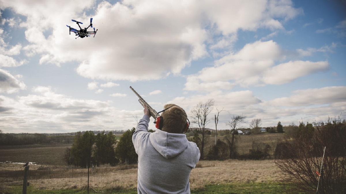
Drones have also become popular accessories for fishing and hunting enthusiasts. Drones equipped with fish finders or thermal cameras can help locate fish or track game, providing valuable assistance in these activities. Drones offer a bird’s-eye view, allowing fishermen and hunters to identify optimal spots and improve their overall success rates.
It’s important to note that recreational drone pilots should follow local regulations and guidelines to ensure safety and respect for privacy. Pilots should avoid flying near restricted areas, respect the privacy of others, and always prioritize the safety of people and property.
In summary, drones have transformed recreational and sporting activities, offering enthusiasts new and exciting ways to capture moments, compete, and explore their passions. Whether it’s aerial photography, racing, stunts, or enhancing traditional outdoor hobbies, drones have become a valuable tool that adds a new dimension to these activities, creating unforgettable experiences for enthusiasts worldwide.