Introduction
Welcome to the world of drones, where technology takes flight and opens up a whole new realm of possibilities. Drones, also known as unmanned aerial vehicles (UAVs), have revolutionized various industries and captured the imaginations of people around the globe.
With their compact size and advanced capabilities, drones have become more than just toys or gadgets. They have emerged as powerful tools with the potential to transform the way we see and interact with the world. From aerial photography and videography to surveillance and security, drones have found numerous applications across diverse fields.
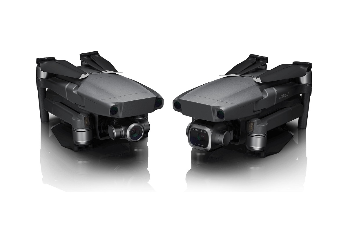
The technology behind drones has come a long way in recent years. These unmanned aircraft are equipped with high-resolution cameras, GPS systems, stabilizers, and advanced flight controls, enabling them to achieve incredible feats. With their ability to capture stunning footage and perform tasks that were once difficult or impossible, drones have become an indispensable asset for individuals and businesses alike.
In this article, we will explore the various applications of drones and how they are reshaping industries. We will delve into the world of aerial photography and videography, where drones have brought a fresh perspective and enhanced creativity. We will also examine how drones are used for surveillance and security, providing innovative solutions for monitoring and protecting both public and private spaces.
Furthermore, we will discuss the role of drones in mapping and surveying, where they have streamlined the process and improved accuracy. We will explore how drones are being utilized for inspections and maintenance, making tasks safer and more efficient. Additionally, we will look at their role in agriculture, wildlife monitoring, search and rescue operations, and environmental monitoring.
Lastly, we will touch upon the alternative uses of drones, showcasing their potential in areas beyond our imagination. This article aims to provide a comprehensive overview of the vast capabilities and applications of drones, demonstrating how they are revolutionizing industries and impacting our daily lives.
The Technology Behind Drones
Drones have become synonymous with technological advancement, and their capabilities are a testament to the cutting-edge technology that powers them. These unmanned aerial vehicles (UAVs) are equipped with a wide range of sophisticated components that enable them to fly autonomously and perform complex tasks.
One of the key components of a drone is its flight controller, which acts as the brain, controlling its movements and flight path. This controller receives inputs from various sensors, such as gyroscopes and accelerometers, to maintain stability and respond to changes in altitude, pitch, and roll.
Drones also rely on GPS (Global Positioning System) technology to navigate and maintain their position. By constantly receiving signals from multiple satellites, the drone can calculate its precise location, allowing for precise flight planning and autonomous flight capabilities.
Another crucial element of a drone is its propulsion system, usually comprised of multiple electric motors and propellers. These motors generate the necessary thrust to lift the drone off the ground and keep it airborne. The propellers, on the other hand, are responsible for maneuvering the drone in various directions.
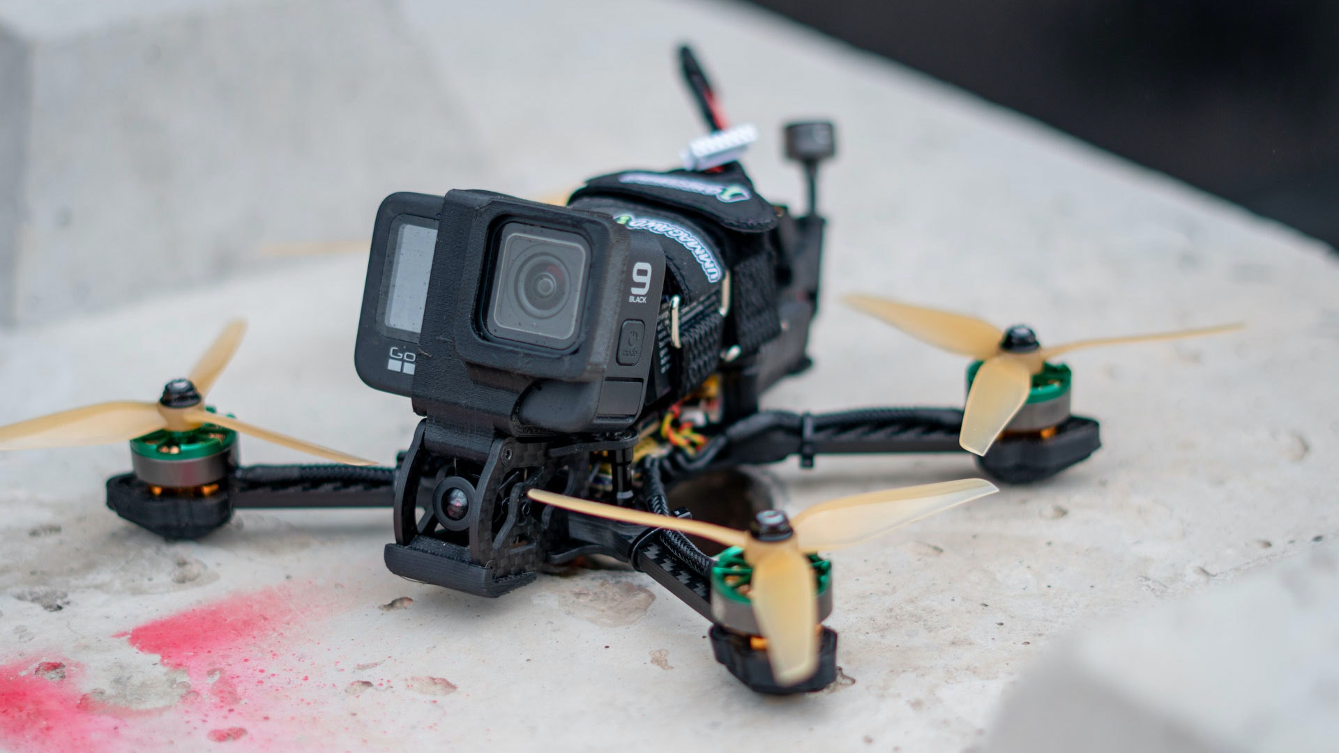
To capture stunning imagery and videos, drones are equipped with high-resolution cameras that can be remotely controlled or operated through automated modes. These cameras are stabilized using gimbals, which help mitigate vibrations and ensure smooth footage, even in turbulent conditions.
In addition to cameras, drones may also be equipped with other sensors and tools depending on their intended use. For example, thermal cameras can be used for search and rescue operations, while LiDAR (Light Detection and Ranging) sensors enable drones to create detailed 3D maps and perform accurate measurements.
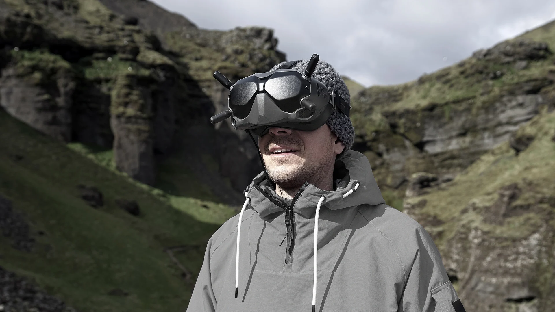
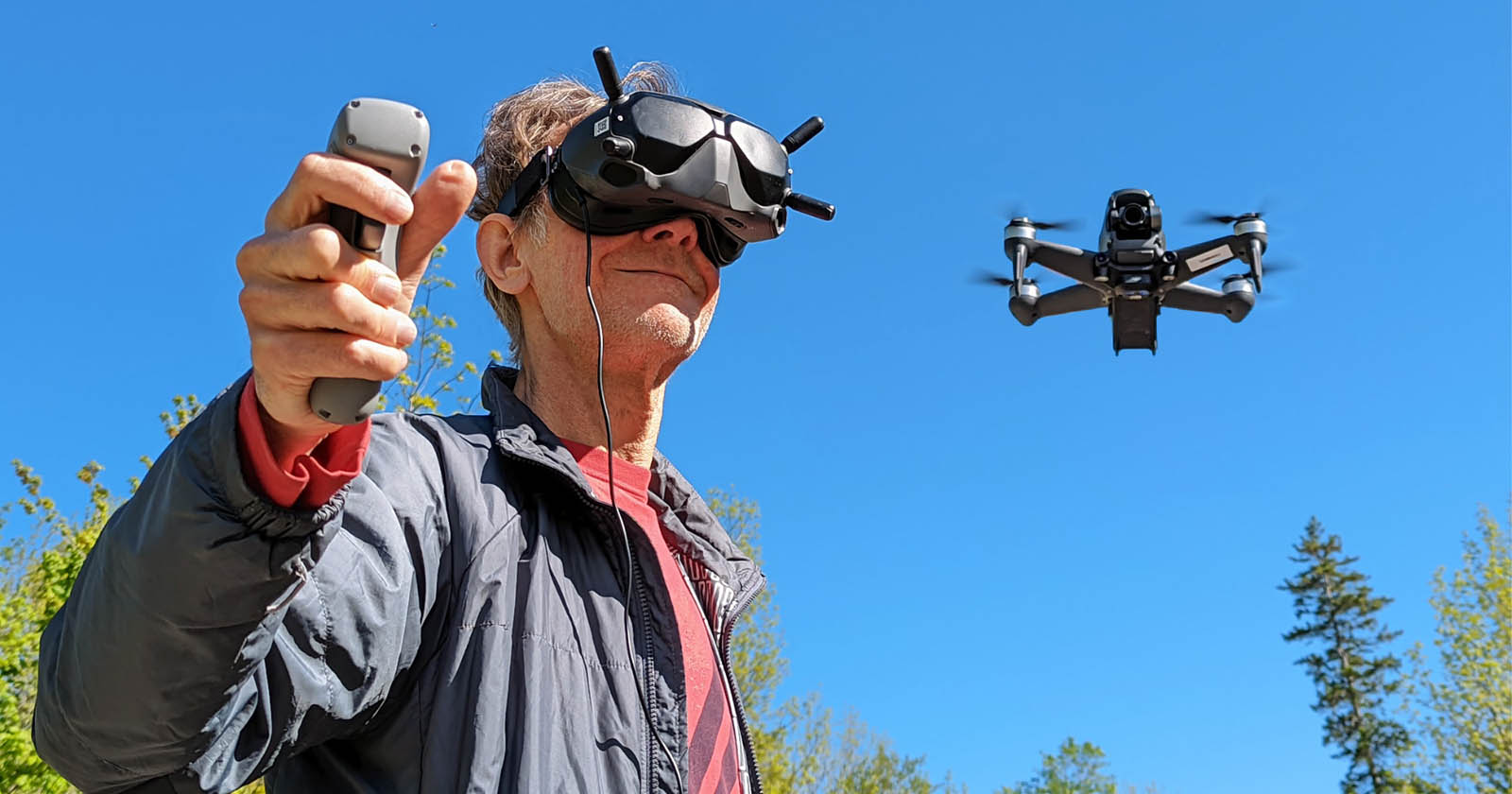
The communication system of a drone is crucial for remote control and transmission of data. Drones typically use radio-frequency communication systems, allowing the operator to control the drone’s movements and receive live video feeds. In some cases, drones can also utilize Wi-Fi or cellular networks for extended range and connectivity.
Safety features are integral to drone technology, with many models equipped with obstacle avoidance sensors. These sensors use lasers, infrared, or ultrasonic technology to detect and avoid obstacles in real time, ensuring safe and collision-free flights.
As technology continues to advance, the capabilities of drones are only expected to grow. With ongoing research and development, we can anticipate even more advanced features and functionalities in the future.
Aerial Photography and Videography
Aerial photography and videography have undergone a revolution with the advent of drones. These unmanned aerial vehicles (UAVs) have democratized the art of capturing stunning imagery and videos from unique perspectives previously only accessible to professional photographers or those with access to expensive equipment.
Drones equipped with high-resolution cameras and stabilized gimbals allow enthusiasts and professionals alike to capture breathtaking aerial shots with ease. They provide a level of creative freedom and versatility that was once reserved for aerial photographers who relied on helicopters or planes.
The ability of drones to hover, ascend, and descend, coupled with their maneuverability, enables photographers and videographers to capture shots that were previously impossible or exceedingly costly to achieve. From sweeping aerial panoramas to dynamic tracking shots, drones offer endless creative possibilities.
The use of drones in aerial photography and videography extends to numerous applications. In the real estate industry, drones are invaluable for capturing stunning images and videos of properties, showcasing not just the property itself but also its surrounding neighborhood and landscape.
Drones are widely used in the film and entertainment industry, enabling filmmakers to capture breathtaking aerial shots for movies, documentaries, and commercials. With precise control and stability, drones bring a unique perspective and add a cinematic touch to visual storytelling.
Furthermore, drones have become an essential tool in the field of tourism and travel. They allow travel photographers and videographers to capture awe-inspiring aerial footage of iconic landmarks and destinations, providing a compelling and immersive experience for viewers.
Moreover, drones have proven to be invaluable in event coverage, capturing stunning overhead shots of concerts, sports events, and weddings. They offer a fresh and dynamic perspective, enhancing the overall visual appeal of any event.
Drone technology has also revolutionized the field of wildlife photography and conservation. With their quiet operation and non-intrusive presence, drones allow photographers to capture wildlife images without disturbing the natural behavior of animals or their habitats. They provide an unprecedented view of wildlife and aid in research and conservation efforts.
In summary, the integration of drones in aerial photography and videography has transformed the way we capture and appreciate the world around us. With their ability to capture unique aerial perspectives and deliver stunning imagery, drones have opened up new creative possibilities and expanded the realm of visual storytelling.
Surveillance and Security
Drones have become an invaluable asset in the field of surveillance and security, offering enhanced capabilities and innovative solutions for monitoring and protecting public and private spaces. The use of unmanned aerial vehicles (UAVs) in this domain has revolutionized traditional surveillance methods and provided new levels of efficiency and effectiveness.
One of the key advantages of drones in surveillance is their ability to access and monitor areas that may be difficult or hazardous for humans to reach. Drones equipped with high-resolution cameras and zoom capabilities can provide real-time aerial views of large areas, enabling security personnel to monitor crowds, events, and critical infrastructures from a safe distance.
The agility and maneuverability of drones make them ideal for monitoring and tracking moving targets. By deploying drones for surveillance, law enforcement agencies can quickly respond to emergency situations, track suspects, and gather valuable evidence in a timely manner.
In addition to their role in law enforcement, drones have also found extensive use in private security applications. From monitoring large estates and commercial properties to protecting high-profile events, drones provide an extra layer of security with their ability to patrol and monitor designated areas.
Drones equipped with thermal cameras or infrared sensors have proven to be particularly effective in surveillance and security operations. These sensors can detect heat signatures, enabling security personnel to identify intruders or hidden threats in various conditions, including low-light settings and dense foliage.
Furthermore, the use of artificial intelligence (AI) and machine learning algorithms in drones has significantly enhanced their surveillance capabilities. Drones can be programmed to perform automated tasks such as facial recognition, object detection, and behavior analysis, instantly alerting security personnel to potential risks or suspicious activities.
The integration of drones with advanced communication systems enables real-time data transmission, providing security personnel with immediate access to aerial footage and situational updates. This facilitates quick decision-making and enables efficient deployment of resources in critical situations.
In summary, drones have revolutionized the field of surveillance and security by providing agile, cost-effective, and versatile solutions for monitoring and protecting public and private spaces. With their advanced imaging capabilities, maneuverability, and integration of AI, drones have proven to be a vital tool in ensuring public safety and enhancing security measures.
Mapping and Surveying
Drones have transformed the field of mapping and surveying, offering efficient and accurate solutions for capturing geographical data and creating detailed maps. Unmanned aerial vehicles (UAVs) equipped with advanced sensors and imaging technology have revolutionized traditional mapping and surveying methods, providing a cost-effective and time-saving alternative.
Drones can cover vast areas of land quickly and capture high-resolution images or videos from different angles and altitudes. This data can then be processed using photogrammetry techniques to create 2D maps, 3D models, and orthomosaic images with unparalleled detail and accuracy.
One of the key advantages of using drones for mapping and surveying is their ability to access areas that are difficult or dangerous for human surveyors to reach. Drones can effortlessly fly over challenging terrain, capturing data from inaccessible locations such as steep slopes, dense forests, or rugged landscapes.
With their ability to fly at precise heights and follow predetermined flight paths, drones can ensure consistent data acquisition, resulting in accurate and reliable measurements. The use of GPS technology and onboard sensors allows drones to geo-reference the captured data, enabling the creation of highly precise maps and survey reports.
Furthermore, drones equipped with LiDAR (Light Detection and Ranging) sensors have revolutionized the field of surveying. LiDAR technology uses lasers to measure distances and create highly detailed 3D point clouds of the surveyed area. This data can be used for terrain modeling, volumetric analysis, and detecting changes over time.
The integration of drones with GIS (Geographic Information System) software has streamlined the mapping and surveying process. GIS allows surveyors to analyze and interpret the collected data, perform spatial analysis, and generate comprehensive reports or digital maps that can be utilized in various industries.
The use of drones in mapping and surveying has found applications in a wide range of sectors. From urban planning and construction to environmental monitoring and land management, drones have become an essential tool for gathering accurate and up-to-date geographic data.
In summary, drones have revolutionized the field of mapping and surveying by providing efficient, accurate, and cost-effective solutions. With their ability to access remote and challenging areas, capture high-resolution data, and integrate with advanced software, drones have become a valuable asset for various industries that require detailed geographic information.
Inspections and Maintenance
Drones have revolutionized the field of inspections and maintenance by providing safer, cost-effective, and efficient solutions. Unmanned aerial vehicles (UAVs) equipped with high-resolution cameras and sensors have transformed traditional inspection methods, allowing for detailed inspections of structures, equipment, and infrastructure.
One of the key advantages of using drones for inspections is their ability to access hard-to-reach or hazardous areas. With their small size and maneuverability, drones can navigate tight spaces, fly close to structures, and inspect areas that would otherwise require scaffolding, cranes, or manual labor.
The use of drones in infrastructure inspections has found extensive applications in sectors such as construction, energy, and transportation. Drones can be deployed to inspect bridges, buildings, wind turbines, pipelines, and power lines, providing visual data that helps identify potential issues such as corrosion, cracks, or faulty equipment.
Equipped with specialized cameras, thermal sensors, or gas detectors, drones can also perform inspections for leakage detection, hot spot identification, or gas emission monitoring. This is particularly useful in industries such as oil and gas, where regular inspections are essential to ensure safety and prevent environmental hazards.
The visual data captured by drones during inspections can be analyzed and processed using machine learning algorithms or artificial intelligence (AI) software. This allows for automated defect recognition and analysis, enhancing the efficiency of inspections and reducing the need for manual review.
Drones equipped with high-resolution cameras and zoom capabilities enable inspectors to capture detailed imagery and videos, which can be further analyzed in post-processing. This visual data provides a comprehensive overview of the inspected areas and serves as a valuable reference for maintenance planning and decision-making.
Furthermore, drones equipped with LiDAR (Light Detection and Ranging) sensors can create accurate 3D maps, allowing for precise measurements and volumetric calculations. This data helps in assessing structural integrity, planning maintenance activities, and managing assets more effectively.
In summary, drones have transformed the field of inspections and maintenance by providing a safe, cost-effective, and efficient alternative to traditional methods. With their ability to access challenging areas, capture high-resolution data, and integrate with advanced software, drones have become an indispensable tool for inspections and maintenance in various industries.
Agricultural Applications
Drones have revolutionized the agricultural industry by providing innovative solutions to enhance productivity, efficiency, and sustainability. Unmanned aerial vehicles (UAVs) equipped with specialized sensors and imaging technology are now widely used in various agricultural applications, offering farmers valuable insights and data-driven decision-making tools.
One of the key applications of drones in agriculture is crop monitoring. Drones can capture high-resolution imagery of crops from above, providing farmers with an overview of their fields’ health and growth patterns. This allows for early detection of stress factors such as pest infestations, diseases, or nutrient deficiencies, enabling farmers to take timely corrective actions.
By using multispectral or hyperspectral cameras, drones can capture data beyond what the human eye can perceive. These sensors detect and quantify specific wavelengths of light, providing detailed information about plant health and identifying areas that require attention. This data aids in targeted interventions, optimizing the use of fertilizers, pesticides, and water resources.
Drones equipped with thermal cameras can also be used to monitor crop temperature and identify areas of heat stress or irrigation inefficiencies. This helps farmers optimize irrigation strategies, reduce water waste, and improve overall crop health.
Drone technology has also revolutionized the practice of precision agriculture. By integrating drones with GPS technology and advanced software, farmers can create detailed field maps, analyze variability within their fields, and apply inputs, such as fertilizers or seeds, with precision. This targeted approach maximizes crop yields, minimizes resource wastage, and reduces environmental impact.
Another application of drones in agriculture is the monitoring of livestock and grazing patterns. Drones equipped with thermal cameras or artificial intelligence can help detect and count animals, identify abnormalities, and track the movement of herds. This information aids farmers in effective livestock management and ensures optimal use of grazing areas.
Furthermore, drones play a vital role in crop spraying operations. By replacing traditional manual or tractor-based spraying methods, drones offer several advantages. They can navigate difficult terrain without damaging crops, reduce chemical use through precision application, and improve worker safety by minimizing exposure to harmful chemicals.
In summary, drones have become a game-changer in the agricultural industry, providing farmers with valuable data-driven insights and tools to optimize yield, reduce input wastage, and improve sustainability. With their ability to monitor crops, perform precision agriculture, and aid in livestock management, drones have transformed the way farming is practiced, ultimately contributing to a more efficient and sustainable agriculture sector.
Wildlife Monitoring and Conservation
Drones have emerged as a valuable tool in wildlife monitoring and conservation efforts, offering new ways to study, protect, and preserve various species and their habitats. Unmanned aerial vehicles (UAVs) equipped with cameras and sensors have revolutionized the field, providing valuable data and insights that were previously inaccessible or difficult to obtain.
One of the key advantages of using drones in wildlife monitoring is their ability to obtain aerial footage and imagery of vast areas within a short period. Drones can capture high-resolution images or videos from different angles and altitudes, providing researchers with a comprehensive view of ecosystems and wildlife habitats.
Drones equipped with thermal cameras are particularly useful in wildlife monitoring. These cameras can detect and track heat signatures, allowing researchers to locate animals and study their behavior without causing disturbance. This technology has proven vital in conservation efforts for endangered species, as it aids in population estimation and habitat assessment.
Furthermore, drones can capture valuable data on animal movements and migration patterns. By tracking and mapping wildlife movements, researchers can identify key corridors, breeding grounds, and feeding areas, enabling better management of protected areas and migration routes.
In addition to monitoring and studying wildlife, drones play a significant role in combating wildlife crimes and illegal activities such as poaching or illegal logging. They provide a cost-effective and efficient means of monitoring protected areas, detecting and deterring illegal activities, and supporting law enforcement efforts.
The use of drones in wildlife conservation also extends to marine environments. Underwater drones, or remotely operated vehicles (ROVs), equipped with cameras and sensors, enable researchers to explore and monitor marine ecosystems, coral reefs, and marine species. This technology aids in the assessment of marine biodiversity, monitoring the impact of climate change, and identifying threats to fragile marine ecosystems.
Moreover, drones facilitate the collection of data on environmental parameters that impact wildlife habitats. Sensors such as spectrometers or LiDAR can measure vegetation health, water quality, topographic changes, or land use patterns, providing valuable insights into the health and integrity of ecosystems.
In summary, drones have become invaluable tools in wildlife monitoring and conservation efforts. Their ability to capture aerial footage, track animal movements, collect data on habitats, and support law enforcement has transformed the way researchers and conservationists approach wildlife conservation. By harnessing the power of drones, we can better understand, protect, and preserve our diverse wildlife and their precious habitats.
Search and Rescue Operations
Drones have revolutionized search and rescue operations, providing critical assistance in locating and aiding individuals in emergency situations. Unmanned aerial vehicles (UAVs) equipped with advanced capabilities have proven to be invaluable tools for search and rescue teams, enhancing their efficiency, speed, and effectiveness.
One of the key advantages of using drones in search and rescue operations is their ability to cover large areas quickly. With their swift maneuverability and aerial perspective, drones can systematically scan vast areas, including remote or inaccessible locations, reducing search time and increasing the chances of locating missing persons or survivors.
Drones equipped with cameras, thermal sensors, or infrared imaging can detect heat signatures, even in challenging conditions or at night. This allows search and rescue teams to locate individuals who may be stranded, injured, or lost, providing critical assistance in timely rescues.
Furthermore, drones fitted with high-resolution cameras can provide real-time video feeds to the search and rescue teams on the ground. This visual data enables better situational awareness, helping teams make informed decisions and coordinate their efforts more effectively.
In disaster-stricken areas, drones can play a vital role in assessing damage, identifying hazards, and planning rescue operations. By capturing aerial imagery and conducting rapid damage assessments, drones aid in identifying blocked or unsafe routes, prioritizing response efforts, and ensuring the safety of rescue personnel.
Additionally, drones equipped with loudspeakers or lights can be used to assist in communication with individuals in distress. This capability enables search and rescue teams to provide guidance, instructions, or reassurance to those in need, improving chances of a successful rescue.
The use of drones in search and rescue operations also enhances the safety of the rescue personnel. By providing aerial surveillance and situational awareness, drones can help identify potential risks or hazards in the area, allowing rescuers to plan and execute operations with greater caution and precision.
Furthermore, drones can be equipped with payload delivery systems to transport essential supplies such as first aid kits, medicines, or food to individuals in remote or hard-to-reach locations. This capability ensures prompt assistance and improves survival rates in critical situations.
In summary, drones have become indispensable tools in search and rescue operations, providing critical support to search teams and enhancing their efficiency, speed, and effectiveness. With their ability to cover large areas swiftly, detect heat signatures, provide real-time video feeds, and aid in communication, drones have greatly improved the chances of successful rescues, ultimately saving lives.
Environmental Monitoring
Drones have become powerful tools in environmental monitoring, offering new ways to collect data, assess ecosystems, and monitor the health of our planet. Unmanned aerial vehicles (UAVs) equipped with specialized sensors and imaging technology have revolutionized the field, providing valuable insights into environmental changes, habitat assessment, and natural resource management.
One of the key advantages of using drones in environmental monitoring is their ability to access remote or hard-to-reach areas. Drones can efficiently fly over vast terrain, capturing high-resolution images or videos of land, water bodies, and vegetation. This aerial perspective enables researchers and environmentalists to monitor and assess areas that are typically challenging to access on foot.
Drones fitted with sensors can collect data on various environmental parameters, such as air quality, water quality, vegetation health, and soil erosion. This data aids in understanding the impact of human activities, climate change, or pollution on ecosystems, allowing for more informed decision-making and targeted mitigation efforts.
Thermal cameras and infrared sensors on drones are particularly useful in environmental monitoring. These sensors can detect anomalies in temperature, helping identify areas of fire hazards, wildlife activity, or changes in oceanic currents. By monitoring these changes, researchers can take timely action to prevent or mitigate potential environmental risks.
Drones equipped with LiDAR (Light Detection and Ranging) sensors have proven valuable in mapping and monitoring forests, coastlines, and topography. LiDAR data can provide detailed information on tree health, carbon sequestration, habitat diversity, and coastline erosion, aiding in conservation planning and natural resource management.
In marine environments, drones equipped with cameras and sensors can monitor coral reefs, detect harmful algal blooms, or survey marine mammal populations. This information assists in understanding the health of marine ecosystems, identifying conservation priorities, and implementing sustainable management practices.
Furthermore, drones provide an efficient and cost-effective means of monitoring protected areas and wildlife habitats. They allow for regular surveys of biodiversity, population assessments, and habitat mapping. This data supports conservation efforts and enables the measurement of conservation successes over time.
The data collected by drones in environmental monitoring can be further analyzed and integrated with Geographic Information System (GIS) software. This analysis helps in spatial data visualization, trend detection, and effective planning of conservation strategies.
In summary, drones have transformed the field of environmental monitoring, providing researchers and environmentalists with powerful tools to assess and protect our planet. With their ability to access remote areas, collect data on various environmental parameters, and integrate with advanced software, drones have become indispensable assets in environmental research and conservation efforts.
Alternative Uses of Drones
While drones have become widely known for their applications in photography, surveillance, and environmental monitoring, they have also found alternative uses across various industries. The versatility and adaptability of unmanned aerial vehicles (UAVs) have sparked creativity and innovation, leading to innovative and unexpected applications for drones.
One alternative use of drones is in the delivery of goods. Companies are exploring the possibility of using drones for last-mile delivery, especially in remote or difficult-to-access areas. With their ability to navigate quickly and efficiently, drones offer a potential solution to address logistical challenges and deliver small packages to customers in a timely manner.
Drones have also shown potential in the field of disaster response and humanitarian aid. In emergency situations, drones can be deployed to assess damage, quickly identify areas that require immediate attention, and aid in search and rescue efforts. They provide real-time situational awareness, helping responders effectively allocate resources and coordinate relief operations.
The construction industry has also embraced the use of drones for building inspections, project management, and progress reporting. Drones equipped with high-resolution cameras and sensors can capture detailed images and create 3D models of construction sites. This provides project managers with valuable data for progress monitoring, quality control, and safety assessments.
In the energy sector, drones have revolutionary applications in infrastructure inspections for power lines, wind turbines, and solar farms. By capturing aerial footage and conducting surveys, drones aid in detecting faults, monitoring maintenance needs, and ensuring smooth operations. This saves time and resources compared to traditional manual inspections.
Agricultural spraying is another alternative use of drones. UAVs can be outfitted with spraying systems to apply fertilizers, pesticides, or herbicides with precision. This targeted approach helps minimize chemical usage, reduces impact on the environment, and enhances agricultural productivity.
Other industries are also exploring the use of drones in tasks such as roof inspections, pipeline monitoring, land surveying, and even entertainment and light shows. The versatility of drones opens up endless possibilities for various sectors to increase efficiency, optimize processes, and improve safety.
Furthermore, hobbyists and enthusiasts have embraced drones as a source of entertainment and creative expression. With drones equipped with cameras, individuals can capture breathtaking aerial photos and videos, documenting their experiences from a unique perspective.
Innovators continue to discover new and unconventional uses for drones, pushing the boundaries of what these unmanned aerial vehicles can achieve. As technology evolves, we can expect to see even more ingenuity and integration of drones across industries, enhancing efficiency, safety, and creativity in unexpected ways.
Conclusion
Drones have undeniably transformed various industries and opened up a world of possibilities. From aerial photography and videography to surveillance and security, from mapping and surveying to inspections and maintenance, drones have proven to be versatile tools that offer efficiency, accuracy, and creative potential.
In the realm of aerial photography and videography, drones have democratized the art of capturing stunning imagery from unique perspectives. They have allowed enthusiasts and professionals alike to unleash their creativity and capture breathtaking shots that were once only accessible to those with expensive equipment or access to helicopters.
In the field of surveillance and security, drones have provided innovative solutions for monitoring and protecting public and private spaces. With advanced cameras, thermal sensors, and AI integration, drones have enhanced situational awareness and facilitated quick response times to emergency situations.
Drones have revolutionized mapping and surveying by offering efficient and accurate solutions. With their ability to access remote areas and collect high-resolution data, drones have revolutionized precision agriculture, infrastructure inspections, and habitat assessments for wildlife conservation.
In industries such as inspections and maintenance, drones have improved safety, cost-effectiveness, and efficiency. With their ability to access hard-to-reach areas and capture detailed imagery, drones have transformed the way inspections are conducted, ensuring the timely detection of issues and facilitating prompt maintenance.
The use of drones in environmental monitoring has enhanced our understanding of ecosystems and facilitated sustainable management practices. By collecting data on environmental parameters and monitoring changes in habitats, drones have played a crucial role in protecting biodiversity and addressing environmental challenges.
Furthermore, drones have found alternative uses in areas such as delivery services, disaster response, construction, energy, and agriculture. They provide innovative solutions and open up new possibilities, driving efficiency, safety, and creative expression across multiple industries.
In conclusion, drones have emerged as game-changers in numerous sectors, revolutionizing the way we see and interact with the world. Their transformative capabilities, coupled with ongoing technological advancements, continue to reshape industries and push the boundaries of what is possible. As drones continue to evolve, we can expect even more exciting and impactful applications in the future, unlocking new opportunities and addressing challenges in unprecedented ways.