Introduction
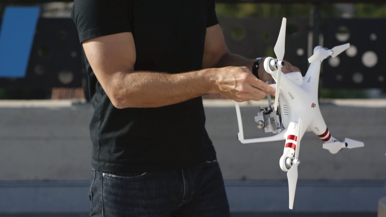
Welcome to the world of DJI Phantom 3 drones! As an enthusiastic drone pilot, you already know that flying a DJI Phantom 3 is an exhilarating experience. But did you know that there are several apps available that can enhance your drone flying experience even further?
These apps offer a wide range of features, from advanced flight controls and autonomous flight modes to professional-grade aerial photography and mapping capabilities. In this article, we will explore some of the top apps available for the DJI Phantom 3 and how they can take your drone flying to the next level.
Whether you are a professional aerial photographer, a hobbyist drone pilot, or a filmmaker looking to capture stunning aerial shots, there is an app out there that can help you make the most of your DJI Phantom 3. So, let’s dive into the world of drone apps and discover which ones are a must-have for your Phantom 3.
Note: Before we begin, it’s important to mention that the availability of some apps may depend on the specific model of your DJI Phantom 3 drone. So, make sure to check the compatibility of each app with your drone before installing.
Now, let’s take a closer look at some of the top apps for DJI Phantom 3:
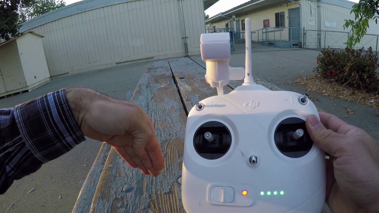
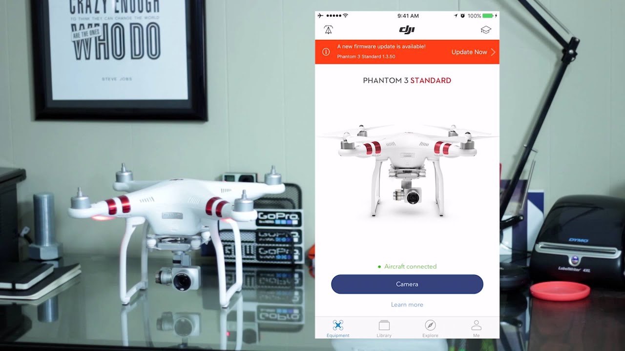
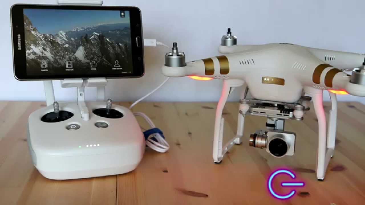
DJI GO App
The DJI GO app is the official app for DJI Phantom 3 drones and is compatible with all models of the Phantom 3 series. It offers a comprehensive set of features that allow you to control and monitor your drone in real-time.
With the DJI GO app, you can access live video feed from your drone’s camera, allowing you to see the world from a bird’s-eye view. The app also provides a wide range of flight controls, including takeoff, landing, and waypoint navigation. You can even set up automated flights using the Intelligent Flight Modes, such as Follow Me, Waypoints, and Point of Interest.
One of the standout features of the DJI GO app is its ability to capture stunning aerial photos and videos. The app includes a built-in photo and video editor, allowing you to customize and enhance your footage right from your mobile device. You can also share your creations directly to social media platforms or save them to your device for later use.
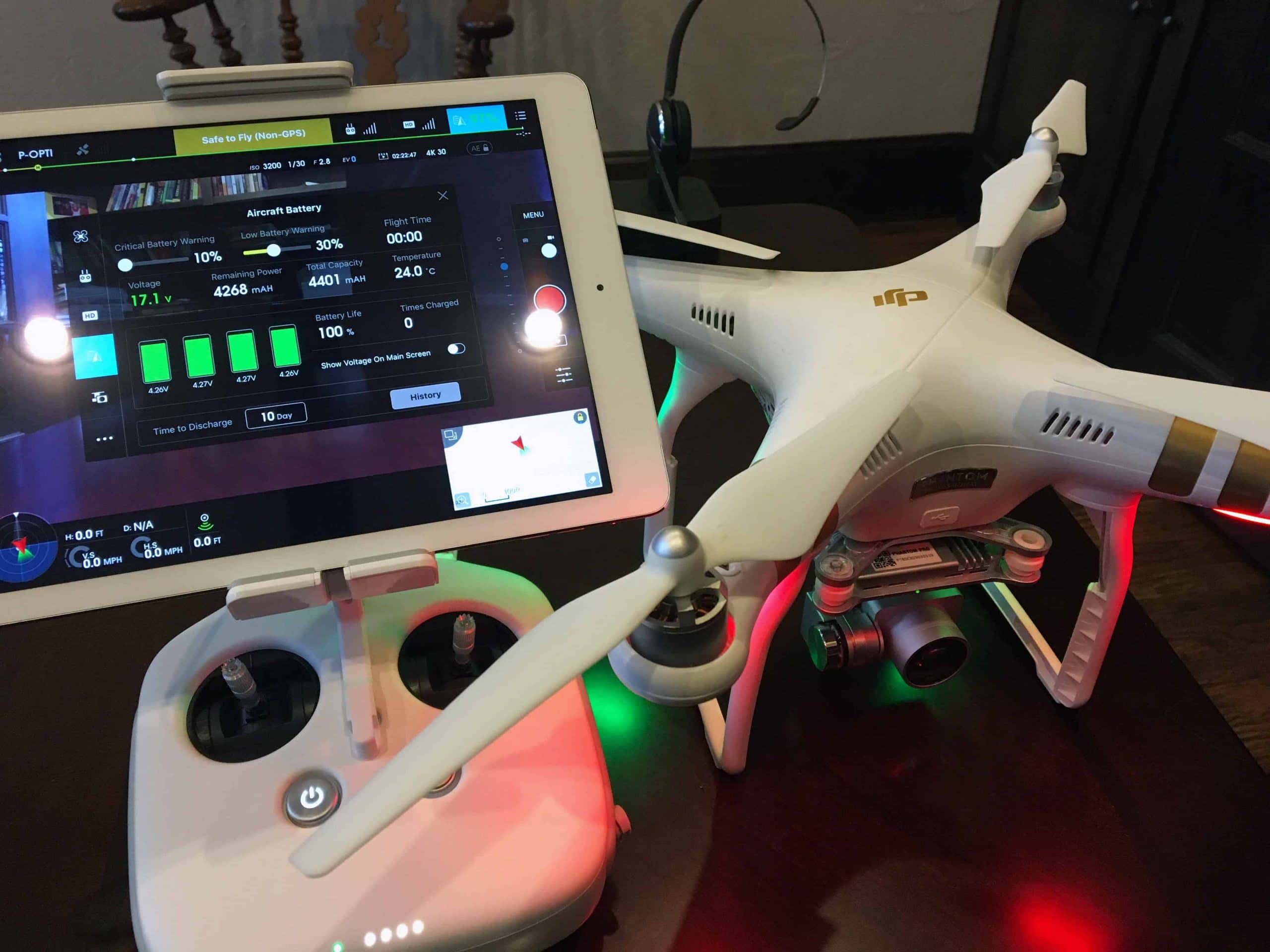
Additionally, the DJI GO app provides telemetry data, such as altitude, speed, and battery status, giving you essential information about your drone’s flight performance. You can also access and adjust camera settings, such as exposure, white balance, and shutter speed, for capturing the perfect shot.
Furthermore, the DJI GO app provides a robust flight log and data recording system, allowing you to review and analyze your flight data. This information can be useful for improving your piloting skills and troubleshooting any issues that may arise.
In summary, the DJI GO app is a versatile and powerful application that provides extensive control and monitoring capabilities for DJI Phantom 3 drones. It offers a seamless user experience, with an intuitive interface and a wide range of features that make flying your drone a breeze. Whether you are a beginner or an experienced pilot, the DJI GO app is a must-have for maximizing your Phantom 3’s potential.
DJI Pilot App
The DJI Pilot app is designed for professional pilots who require advanced flight planning and control capabilities. It is compatible with DJI Phantom 3 Professional and Phantom 3 Advanced models, offering a range of features tailored to meet the needs of professional aerial photographers and filmmakers.
One of the standout features of the DJI Pilot app is its ability to create complex flight plans. You can set up waypoints and define precise flight paths for your drone, allowing you to capture dynamic and cinematic aerial shots. The app also supports the use of third-party mapping services, such as Google Earth and Mapbox, for enhanced planning and visualization.
In addition to flight planning, the DJI Pilot app offers advanced camera controls, allowing you to fine-tune every aspect of your aerial photography. You can adjust camera settings, such as ISO, shutter speed, and Aperture on Phantom 3 Professional, to achieve the desired exposure and image quality. The app also supports RAW capture, enabling you to capture images with higher post-processing flexibility.
Furthermore, the DJI Pilot app provides a real-time HD video feed from your drone to your mobile device or tablet. This allows you to monitor the live view from your drone’s camera and make critical decisions regarding framing and composition. The app also supports multi-screen viewing, enabling you to connect multiple devices for a more immersive and collaborative flight experience.
Another notable feature of the DJI Pilot app is its integration with DJI FlightHub. DJI FlightHub is a web-based management platform that allows you to manage and track your fleet of drones. With the DJI Pilot app, you can seamlessly synchronize your flight data and telemetry information with FlightHub, providing you with a centralized and efficient way to organize and analyze your flights.
In summary, the DJI Pilot app is a powerful tool for professional drone pilots who require advanced flight planning, camera control, and fleet management capabilities. It offers a range of features designed to enhance the aerial photography and videography experience, providing professionals with the tools they need to capture stunning and cinematic shots.
DJI Fly App
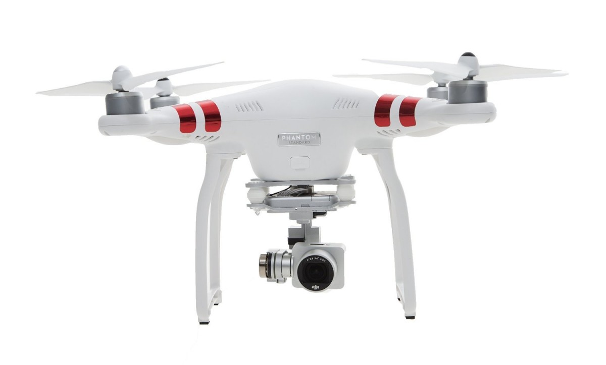
The DJI Fly app is specifically designed for DJI Phantom 3 Standard and Phantom 3 4K drones. It offers a simplified and user-friendly interface, making it an ideal choice for beginners or casual drone pilots.
One of the key features of the DJI Fly app is its intuitive flight controls. With a few taps on your mobile device, you can easily take off, land, and navigate your drone. The app provides basic flight modes, including TapFly, ActiveTrack, and QuickShot, allowing you to capture impressive aerial shots without the need for advanced piloting skills.
Additionally, the DJI Fly app provides a real-time video feed from your drone’s camera, allowing you to see the world from a unique perspective. You can also access basic camera controls, such as exposure compensation and picture settings, to customize your photos and videos.
The DJI Fly app also offers a variety of pre-programmed flight modes that can add creativity to your aerial footage. These modes include Journey, which creates a cinematic moving shot, and Circle, which enables your drone to fly in a circular path around a point of interest. These automated flight modes make it easy to capture stunning shots with minimal effort.
Furthermore, the DJI Fly app includes a built-in video editor, allowing you to conveniently edit and share your footage right from your mobile device. You can trim, crop, and add music to your videos, creating professional-looking content to share on social media platforms.
In summary, the DJI Fly app is a user-friendly and beginner-focused application designed specifically for DJI Phantom 3 Standard and Phantom 3 4K drones. It offers simplified flight controls, pre-programmed flight modes, and a built-in video editor, making it a great choice for casual drone pilots who want to capture stunning aerial shots with ease.
DJI Assistant 2 App
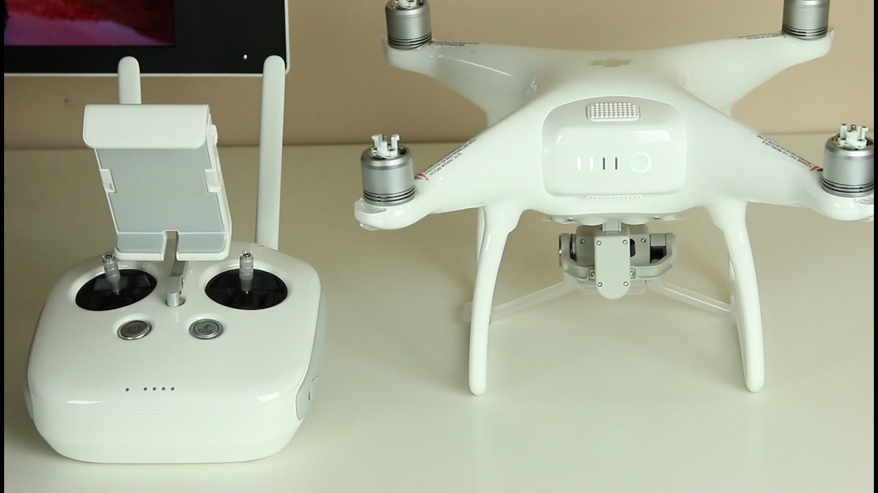
The DJI Assistant 2 app is a powerful tool that allows you to configure and update the firmware of your DJI Phantom 3 drone. It is available for both Windows and macOS and offers a range of advanced features for maintaining and optimizing your drone’s performance.
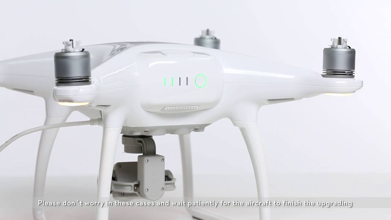
One of the primary functions of the DJI Assistant 2 app is firmware update management. By connecting your Phantom 3 drone to your computer using a USB cable and launching the app, you can easily check for firmware updates and install the latest version. Firmware updates often include bug fixes, performance enhancements, and new features, ensuring your drone is up to date and operating at its best.
In addition to firmware updates, the DJI Assistant 2 app provides access to advanced flight settings and configurations. You can fine-tune parameters such as sensitivity, gain, and expo to personalize your drone’s flight characteristics to your liking. This level of customization allows you to optimize your drone’s performance for different flight scenarios, such as smooth aerial filming or agile maneuvering.
The DJI Assistant 2 app also offers a range of diagnostic tools for troubleshooting and maintenance. You can perform a variety of tests, such as motor and sensor calibration, to ensure that your drone is functioning properly. The app provides real-time feedback and a detailed report of your drone’s status, making it easier to identify and resolve any issues that may arise.
Furthermore, the DJI Assistant 2 app allows you to access flight logs, which record important information about your flights, including flight time, distance, and altitude. You can review and analyze these logs to gain insights into your flying habits and track your progress as a drone pilot.
In summary, the DJI Assistant 2 app is an essential tool for maintaining, updating, and customizing your DJI Phantom 3 drone. It provides a range of advanced features, including firmware update management, flight settings configuration, diagnostic tools, and flight log analysis. With the DJI Assistant 2 app, you can ensure that your drone is operating at its best and personalize its performance to meet your specific needs.
DJI Ground Station Pro App
The DJI Ground Station Pro app is a professional-grade application designed for advanced mission planning and autonomous flight control. It is compatible with DJI Phantom 3 Professional and Phantom 3 Advanced models, offering a range of features for professional aerial photographers, filmmakers, and industrial applications.
One of the standout features of the DJI Ground Station Pro app is its advanced mission planning capabilities. You can create complex flight routes by setting waypoints, altitude, and speed parameters. This allows you to execute precise and repeatable flight missions, ideal for mapping, surveying, and other industrial applications.
The app also provides advanced camera control and gimbal settings, allowing you to capture high-quality images and videos during your autonomous flights. You can adjust parameters such as exposure, focus, and camera angle to ensure that you capture the desired shots with precision.
In addition, the DJI Ground Station Pro app offers a range of flight modes that can further enhance the capabilities of your DJI Phantom 3 drone. These include Circle, which enables your drone to orbit around a specific point of interest, and Follow Me, which allows the drone to track and follow a subject or target.
The DJI Ground Station Pro app also supports the use of third-party mapping services, such as Google Earth and Mapbox, for enhanced flight planning and visualization. This integration allows for more accurate mission planning and a seamless workflow with external data sources.
Furthermore, the DJI Ground Station Pro app provides real-time telemetry data and flight logging, allowing you to monitor and analyze the performance of your drone during missions. This information can be invaluable for troubleshooting, performance optimization, and post-flight analysis.
In summary, the DJI Ground Station Pro app is a professional-grade application that offers advanced mission planning, autonomous flight control, and camera settings for DJI Phantom 3 Professional and Phantom 3 Advanced drones. It provides a powerful set of tools for professional aerial photographers, filmmakers, and industrial applications, allowing for precise and efficient flight missions.
Litchi App
The Litchi app is a popular third-party application for DJI Phantom 3 drones that offers a range of advanced features and flight modes. It provides a user-friendly interface with intuitive controls, making it a favorite among drone enthusiasts and professionals alike.
One of the standout features of the Litchi app is its mission planning capabilities. You can create customized flight paths by setting waypoints and defining specific actions for your drone at each point. This allows you to create complex and dynamic flight missions, perfect for capturing unique aerial shots or conducting aerial surveys.
The app also offers a variety of flight modes that can add creativity and versatility to your drone’s capabilities. This includes Focus, which allows you to create smooth and cinematic camera movements, and Orbit, which enables your drone to circle around a point of interest, capturing 360-degree shots.
In addition to mission planning and flight modes, the Litchi app provides advanced camera controls. You can adjust camera settings, such as exposure, white balance, and picture style, to capture the perfect shot. The app also supports panoramic and spherical photo modes, allowing you to create stunning wide-angle or 360-degree images.
Furthermore, the Litchi app offers a live video feed from your drone’s camera to your mobile device, allowing you to monitor the real-time view from the sky. You can also access telemetry data, such as altitude, distance, and battery level, providing you with essential information during your flights.
Another notable feature of the Litchi app is its compatibility with VR headsets. You can connect your mobile device to a compatible VR headset and experience a first-person view from your drone’s camera. This immersive experience adds a new level of excitement and realism to your drone flying adventures.
In summary, the Litchi app is a feature-rich and user-friendly application for DJI Phantom 3 drones. It offers advanced mission planning, flight modes, camera controls, and VR compatibility, providing drone enthusiasts and professionals with a powerful tool for capturing unique and dynamic aerial shots.
Autopilot App
The Autopilot app is a powerful application for DJI Phantom 3 drones that provides advanced flight planning and autonomous flight capabilities. It is designed for both professional and recreational drone pilots who want to take their aerial photography and videography to the next level.
One of the key features of the Autopilot app is its intuitive and user-friendly flight planning interface. You can easily create customized flight paths by defining waypoints and specifying desired actions at each point. This allows you to pre-plan intricate flight missions and capture cinematic shots with ease.
The app also offers a wide range of intelligent flight modes that add creativity and versatility to your drone’s capabilities. This includes Follow Me, which allows your drone to track and follow a subject or target, and Cable Cam, which creates smooth and controlled camera movements along a virtual cable.
In addition to flight planning and intelligent flight modes, the Autopilot app provides precise camera control settings. You can adjust camera parameters such as exposure, focus, and white balance to capture the perfect shot. The app also supports interval capture mode, allowing you to create time-lapse footage of your aerial adventures.
Furthermore, the Autopilot app offers a real-time video feed from your drone’s camera to your mobile device, allowing you to monitor the live view as you fly. You can also access telemetry data, including altitude, speed, and battery level, to ensure a safe and controlled flight experience.
Another notable feature of the Autopilot app is its compatibility with external devices such as Bluetooth GPS receivers. This allows for more accurate GPS positioning and precise control over your drone’s flight paths, enhancing the overall flight planning and execution process.
In summary, the Autopilot app is a comprehensive tool for DJI Phantom 3 drone pilots who want to take their aerial photography and videography to new heights. With advanced flight planning capabilities, intelligent flight modes, precise camera controls, and real-time monitoring, the Autopilot app offers a seamless and powerful solution for capturing stunning aerial shots.
Pix4Dcapture App
The Pix4Dcapture app is a specialized application for DJI Phantom 3 drones that is designed for aerial mapping and photogrammetry. It offers powerful features that allow you to efficiently capture aerial images and create accurate 2D maps and 3D models.
One of the standout features of the Pix4Dcapture app is its automated flight planning capabilities. You can define the area you want to map or survey, and the app will generate a flight plan with optimized flight paths and waypoints. This automated process ensures maximum coverage and efficiency during your aerial missions.
The app also offers a range of flight modes that are specifically tailored for mapping and photogrammetry purposes. This includes Grid Mission, which allows you to capture images in a grid-like pattern for accurate and detailed mapping, and Circular Mission, which enables you to capture images in a circular pattern around a point of interest.
In addition to flight planning and specialized flight modes, the Pix4Dcapture app provides precise camera settings and controls. You can adjust camera parameters such as exposure, focus, and image overlap to ensure optimal image quality and data accuracy for your mapping projects.
Furthermore, the Pix4Dcapture app supports the automatic triggering of the drone’s camera at predefined intervals, ensuring even image coverage and minimal manual intervention. This synchronized image capture process is essential for generating precise and high-resolution 2D maps and 3D models.
Once the images are captured, the Pix4Dcapture app allows you to transfer the data to Pix4Dmapper, a powerful desktop software for processing and generating accurate maps and models. The integration between the mobile app and desktop software streamlines the workflow and ensures seamless data transfer for further analysis and visualization.
In summary, the Pix4Dcapture app is a valuable tool for DJI Phantom 3 drone pilots involved in mapping, surveying, and photogrammetry applications. With its automated flight planning, specialized flight modes, precise camera controls, and seamless integration with Pix4Dmapper, the app provides a comprehensive solution for capturing and processing accurate 2D maps and 3D models from aerial imagery.
DroneDeploy App
The DroneDeploy app is a powerful and comprehensive application for DJI Phantom 3 drones that is focused on aerial mapping, surveying, and inspection purposes. It offers a range of features that make it easy to capture, process, and analyze aerial data with precision.
One of the standout features of the DroneDeploy app is its intuitive flight planning capabilities. You can easily define the area you want to map or survey, and the app will automatically generate a flight plan with optimized flight paths and waypoints. This automated process ensures efficient coverage and optimal data collection during your drone flights.
The app also offers a variety of specialized flight modes that are tailored for specific mapping and surveying tasks. This includes Grid Mission, which allows you to capture images in a grid-like pattern for detailed and accurate mapping, and 3D Modeling Mission, which enables you to capture images for generating precise 3D models of your environment.
In addition to flight planning and specialized flight modes, the DroneDeploy app provides a range of camera settings and controls. You can adjust camera parameters such as exposure, focus, and image overlap to ensure high-quality imagery and data accuracy for your mapping projects.
The app also supports the automatic triggering of the drone’s camera at predefined intervals, ensuring even image coverage and minimal manual intervention. This synchronized image capture process is crucial for generating accurate and detailed maps, models, and orthomosaics.
Once the data is captured, the DroneDeploy app allows you to upload the imagery to their cloud-based platform for processing and analysis. The platform utilizes advanced algorithms and mapping technologies to generate 2D maps, 3D models, vegetation indices, and more, providing you with valuable insights and actionable data.
Furthermore, the DroneDeploy app integrates with third-party data analysis and visualization tools, allowing you to leverage the captured aerial data for further analysis, such as crop health monitoring, site inspections, and volumetric measurements.
In summary, the DroneDeploy app is a comprehensive and powerful application for DJI Phantom 3 drones that is specifically designed for mapping, surveying, and inspection purposes. With its intuitive flight planning, specialized flight modes, precise camera controls, and cloud-based data processing, the app offers a complete solution for capturing, analyzing, and utilizing accurate aerial data for a wide range of applications.
Recap
In this article, we have explored a variety of apps that can enhance the capabilities of your DJI Phantom 3 drone. These apps offer a wide range of features, from advanced flight controls and autonomous flight modes to professional-grade aerial photography and mapping capabilities.
The DJI GO app stands out as the official app for DJI Phantom 3 drones, providing comprehensive control and monitoring capabilities, as well as features for capturing stunning aerial photos and videos.
The DJI Pilot app is designed for professional pilots and offers advanced flight planning, camera control, and fleet management capabilities, making it an ideal choice for aerial photographers and filmmakers.
The DJI Fly app is a user-friendly application designed specifically for DJI Phantom 3 Standard and Phantom 3 4K drones, providing simplified flight controls, pre-programmed flight modes, and a built-in video editor.
The DJI Assistant 2 app is essential for firmware updates, flight settings configuration, diagnostic tools, and flight log analysis. It offers advanced features for maintaining and optimizing your DJI Phantom 3 drone.
The DJI Ground Station Pro app is a professional-grade application that provides advanced mission planning, autonomous flight control, and camera settings for DJI Phantom 3 Professional and Phantom 3 Advanced drones. It is ideal for professionals in aerial photography, filmmaking, and industrial applications.
The Litchi app offers advanced mission planning, flight modes, camera controls, and VR compatibility, making it a popular choice among drone enthusiasts and professionals.
The Autopilot app provides advanced flight planning, intelligent flight modes, precise camera controls, and real-time monitoring, offering a seamless solution for capturing stunning aerial shots.
The Pix4Dcapture app is specifically designed for aerial mapping, surveying, and photogrammetry. It offers automated flight planning, specific flight modes, precise camera controls, and seamless integration with Pix4Dmapper for processing accurate maps and models.
The DroneDeploy app is a comprehensive application focused on aerial mapping, surveying, and inspection. It provides intuitive flight planning, specialized flight modes, precise camera controls, and cloud-based data processing for generating actionable insights.
With these apps at your disposal, you can unlock the full potential of your DJI Phantom 3 drone and take your aerial photography, mapping, and surveying to new heights.
Conclusion
With the variety of apps available for DJI Phantom 3 drones, you can enhance your flying experience and unlock new possibilities for aerial photography, mapping, and surveying. From the official DJI GO app to specialized apps like DJI Pilot, Litchi, Pix4Dcapture, and DroneDeploy, each app offers unique features and functionalities that cater to different needs and skill levels.
The DJI GO app, as the official app for DJI Phantom 3 drones, provides a comprehensive set of features for controlling and monitoring your drone, capturing aerial photos and videos, and accessing advanced flight modes. It is a versatile choice for both beginners and experienced pilots.
If you are a professional pilot, the DJI Pilot app offers advanced flight control, camera settings, and fleet management capabilities. It is designed to meet the demands of aerial photographers, filmmakers, and industrial applications.
The Litchi app, Autopilot app, and Pix4Dcapture app provide specialized features for capturing unique shots, automated flight planning, and data processing. Whether you are looking to create cinematic footage, execute complex flight missions, or generate accurate maps and models, these apps are tailored to meet your specific needs.
The DJI Assistant 2 app allows you to update firmware, customize flight settings, perform diagnostic tests, and analyze flight data. It is an essential tool for maintaining and optimizing your DJI Phantom 3 drone.
Lastly, the DJI Ground Station Pro app and DroneDeploy app offer advanced flight planning, specialized flight modes, precise camera controls, and data processing capabilities. These apps cater to professionals in fields such as aerial photography, filmmaking, mapping, surveying, and inspection.
By utilizing these apps, you can take your DJI Phantom 3 drone to new heights and expand your creative possibilities. Whether capturing stunning aerial photos, creating precise maps and models, or executing sophisticated flight missions, these apps provide the tools and features to enhance your drone flying experience.
So, explore the app that aligns with your needs and take your DJI Phantom 3 drone on a new and exciting journey!