Introduction
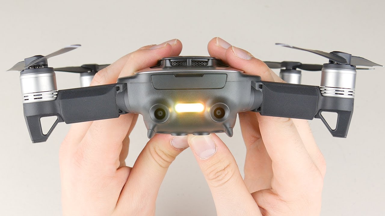
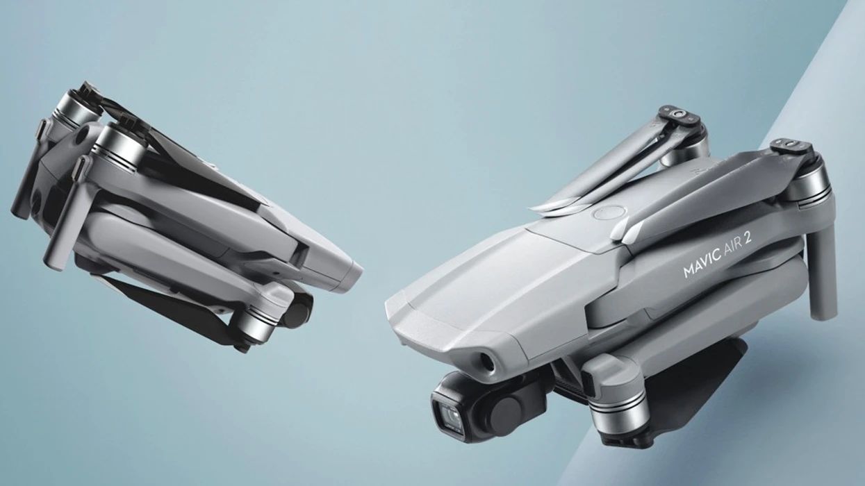
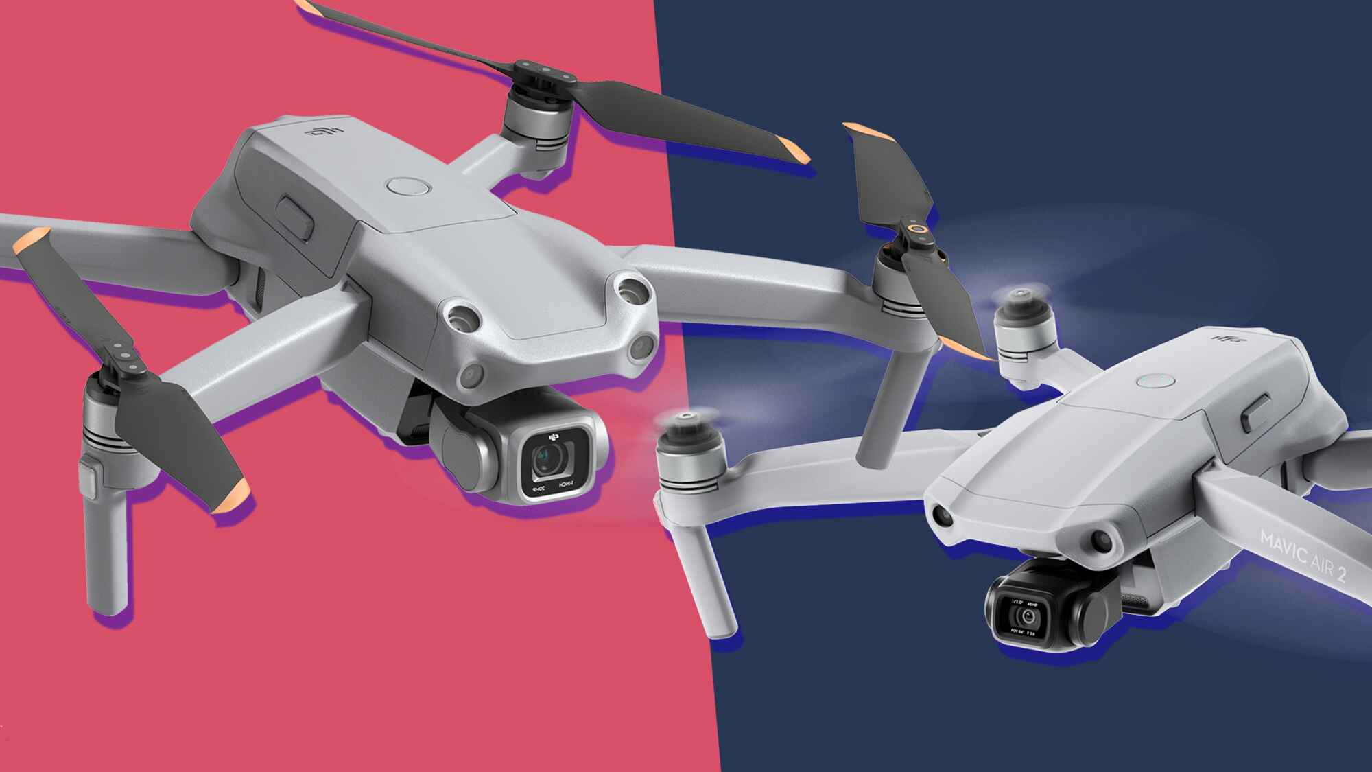
The DJI Mavic Air is a popular and highly-capable drone that offers exceptional aerial photography and videography capabilities. But to truly unlock its full potential, you need the right app to control and manage its features. With numerous options available in the market, it can be challenging to determine which app is the best fit for your needs. In this article, we will explore some of the top apps for the DJI Mavic Air that will help you maximize your drone’s capabilities and elevate your aerial photography and videography experience.
From controlling the flight path to capturing stunning images and videos, these apps offer a range of features that add a new level of control and creativity to your DJI Mavic Air. Whether you are a professional photographer, videographer, or simply a hobbyist, these apps can enhance your drone operations and provide you with a unique perspective from the skies.
In the following sections, we will delve into the details of each app, discussing their features, functionalities, and how they can enhance your DJI Mavic Air experience. So, whether you’re looking for more advanced flight planning capabilities or want to explore innovative ways to capture and share your aerial content, continue reading to discover the perfect app for your DJI Mavic Air.
DJI GO 4
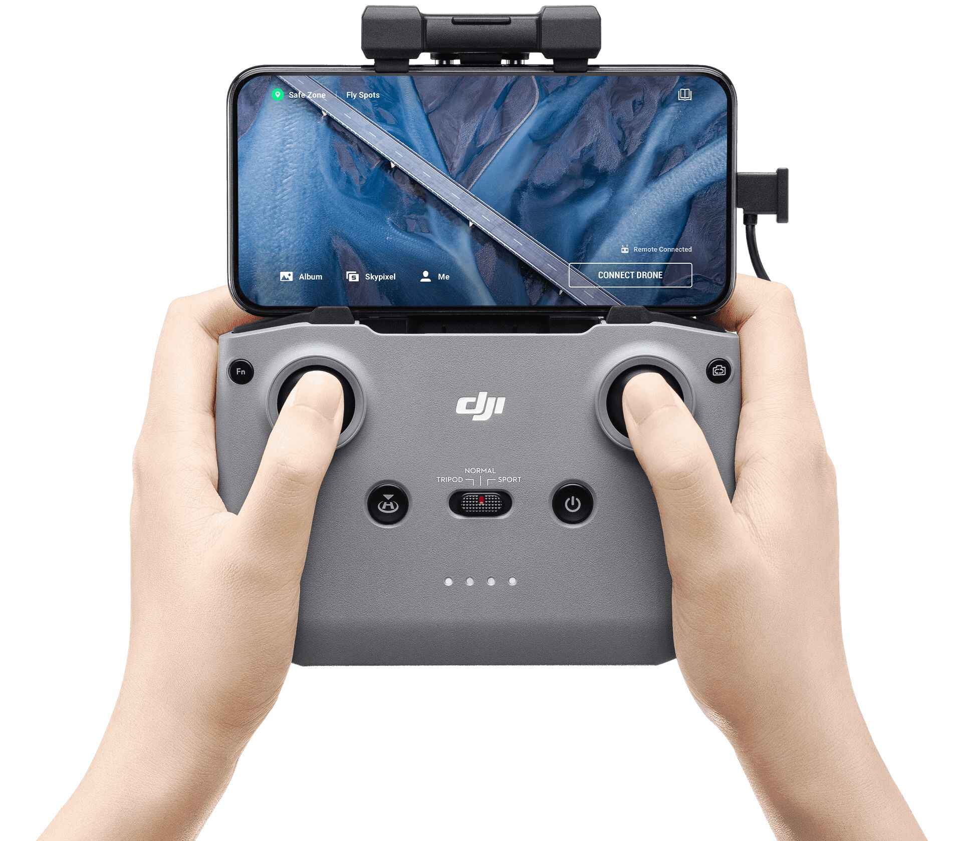
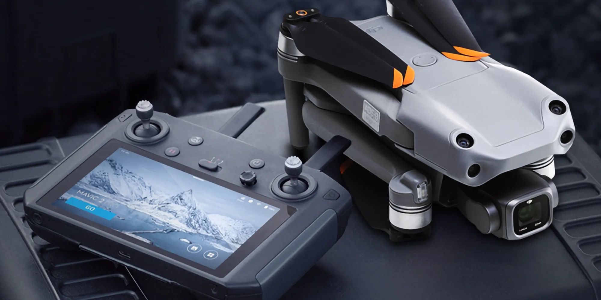
The DJI GO 4 app is an essential companion for any DJI drone, including the Mavic Air. With its user-friendly interface and comprehensive set of features, it provides a seamless connection between your drone and your mobile device.
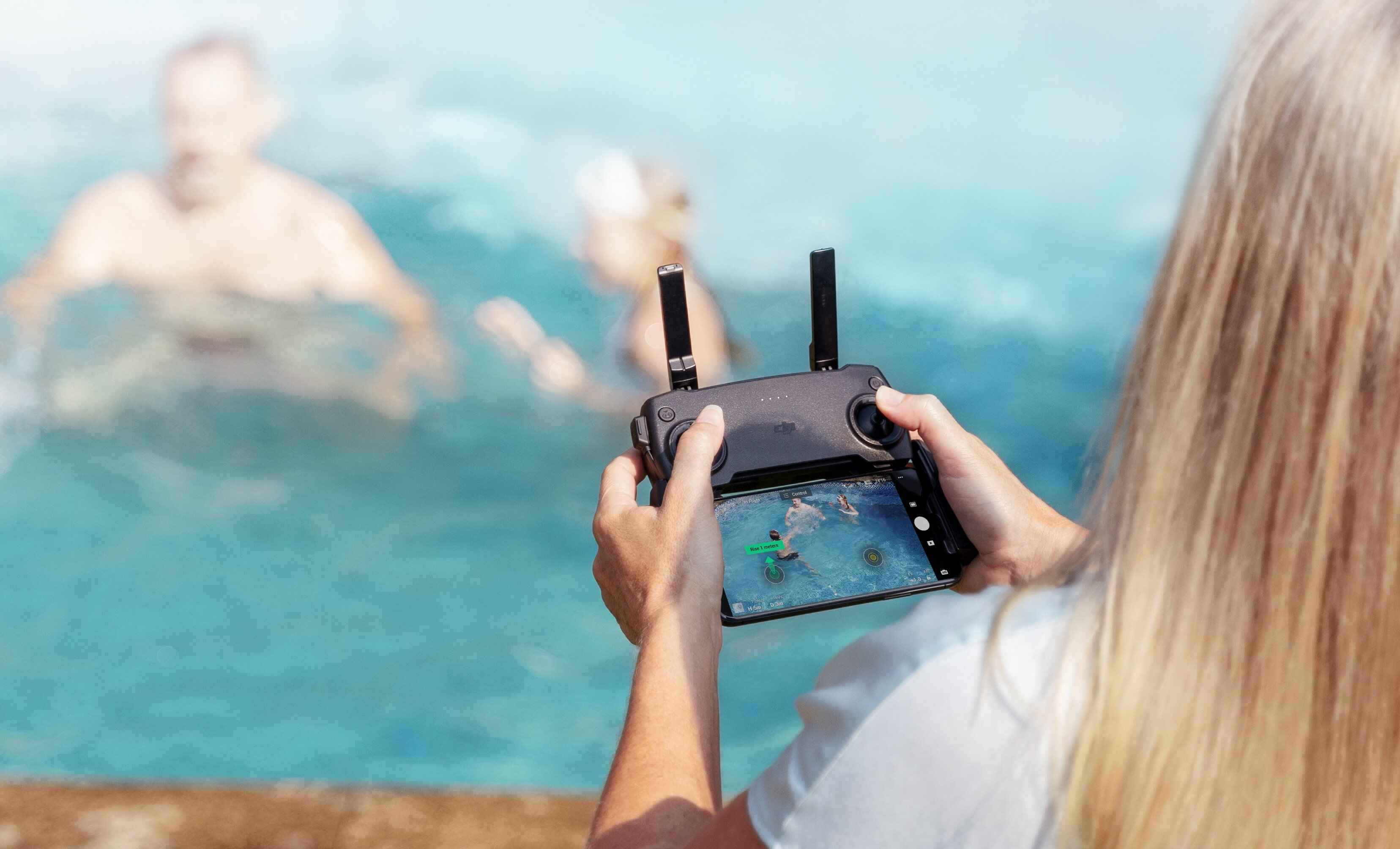
One of the standout features of the DJI GO 4 app is its ability to control and monitor your Mavic Air in real-time. You can access vital information such as battery status, GPS location, altitude, and even adjust camera settings right from your mobile device. This level of control allows you to fine-tune your shots and capture images and videos exactly as you envision them.
Another noteworthy feature is the app’s intelligent flight modes. These modes, such as ActiveTrack, TapFly, and Waypoints, enable you to automate your drone’s flight path, making it easier to capture complex shots and execute cinematic moves effortlessly. Whether you want to track a subject, follow a predetermined route, or create stunning aerial panoramas, the DJI GO 4 app has you covered.
The DJI GO 4 app also provides access to an entire community of drone enthusiasts through its social platform, SkyPixel. You can upload and share your photos and videos, discover inspiring content from other users, and even participate in photo contests to showcase your talent. Connecting with like-minded individuals and sharing your aerial adventures has never been easier.
Furthermore, the app offers a comprehensive editing suite, allowing you to enhance and refine your captured footage directly on your mobile device. You can apply filters, add music, trim clips, and create captivating stories to share on social media platforms. This eliminates the need for additional editing software and streamlines your post-production workflow.
In summary, the DJI GO 4 app is a powerful tool that enhances the capabilities of your DJI Mavic Air. With its real-time monitoring, intelligent flight modes, social platform, and editing suite, it offers a well-rounded experience for drone pilots of all levels.
Litchi
Litchi is a feature-rich app that provides advanced flight planning and autonomous control for your DJI Mavic Air. With Litchi, you can take your aerial photography and videography to new heights by unlocking a multitude of creative and professional features.
One of the standout features of Litchi is its ability to create and execute highly customized flight plans. Using the app’s Waypoint mode, you can define a precise flight path by setting waypoints on the map. This enables you to capture complex shots like orbiting a subject, flying along a specific route, or even performing intricate camera movements. The app also allows you to adjust the altitude, speed, and gimbal movements at each waypoint, giving you full control over your drone’s flight trajectory.
Another powerful capability of Litchi is its Track mode. In Track mode, you can select a subject to track, whether it’s a person, a vehicle, or any other object of interest. The app will automatically keep your Mavic Air locked onto the subject while maintaining a consistent distance and capturing smooth footage. This feature is particularly useful for capturing dynamic action shots or creating compelling visual narratives.
Litchi also offers a range of pre-programmed cinematic flight modes, such as Follow, Orbit, and Focus. These modes allow you to easily capture professional-looking shots without manual piloting skills. With just a few taps on your mobile device, you can unleash your creativity and achieve stunning aerial footage.
In addition to its impressive flight planning capabilities, Litchi provides a built-in VR mode that allows you to experience your drone flights in virtual reality. By connecting your mobile device to a compatible VR headset, you can immerse yourself in a first-person view of the drone’s perspective. This adds a new level of excitement and realism to your aerial adventures.
Overall, Litchi is a powerful app that expands the capabilities of your DJI Mavic Air by offering advanced flight planning, autonomous control, and immersive VR experiences. Whether you’re a professional filmmaker or an enthusiast looking for more creative control, Litchi is a must-have app for taking your drone photography and videography to the next level.
DroneDeploy
DroneDeploy is a comprehensive mapping and data analysis app that offers powerful capabilities for both professional and recreational drone users. With its advanced mapping features and intuitive interface, DroneDeploy allows you to create highly accurate maps, 3D models, and aerial surveys with ease.
One of the key features of DroneDeploy is its automated mapping capabilities. By simply defining an area of interest on the map, specifying your flight height and overlap, the app will generate a flight plan for your DJI Mavic Air to capture aerial imagery. Once the flight is completed, DroneDeploy processes the images using advanced photogrammetry techniques to create detailed maps and 3D models which can be used in various industries including agriculture, construction, and land surveying.
DroneDeploy also offers real-time mapping, allowing you to view and analyze the map as it is being created. This is particularly useful for monitoring progress on construction sites, tracking crop health, or assessing the impact of natural disasters. The app provides a suite of analysis tools to extract insights from the captured data, such as volume measurements, elevation profiles, and vegetation indices. These tools enable professionals to make informed decisions based on accurate and up-to-date information.
Furthermore, DroneDeploy seamlessly integrates with other software platforms, such as CAD and GIS systems, allowing you to easily export your maps and 3D models for further analysis and collaboration. This interoperability enhances the workflow and ensures compatibility with existing tools and processes.
In addition to its mapping capabilities, DroneDeploy offers a range of flight planning options, including automated inspection flights and tailored mission templates. This allows users to perform inspections on infrastructure, monitor assets, and conduct site surveys more efficiently and consistently.
DroneDeploy also provides a collaborative platform where you can share captured maps and data with team members or clients. This facilitates communication and collaboration, enabling stakeholders to visualize and interact with the drone-captured data in a user-friendly interface.
In summary, DroneDeploy is an indispensable app for professionals who require accurate mapping and data analysis capabilities. Its automated mapping features, real-time analytics, and seamless integration with other software make it a powerful tool for industries such as agriculture, construction, and land surveying.
AirMap
AirMap is a navigation and airspace management app that provides valuable information and tools for safe and legal drone operations. With its comprehensive airspace maps, real-time traffic alerts, and regulatory guidance, AirMap ensures a smooth and compliant flying experience for DJI Mavic Air pilots.
One of the core features of AirMap is its airspace awareness. The app provides detailed maps that display airspace restrictions, including controlled airspace, no-fly zones, and temporary flight restrictions. This information is critical for avoiding potential hazards and ensuring compliance with regulations. By being aware of restricted areas, pilots can navigate safely and avoid any airspace violations.
AirMap also offers real-time traffic alerts, allowing you to see nearby manned aircraft and other drones that are sharing the sky. This feature enhances situational awareness and helps pilots make informed decisions while in flight. By having a real-time view of other aircraft, you can adjust your flight path and altitude to maintain a safe distance and avoid any potential conflicts.
Another valuable aspect of the AirMap app is its ability to provide up-to-date regulatory guidance. It keeps pilots informed about any changes in drone regulations and restrictions, ensuring that you are always flying within the legal boundaries. This feature is particularly important as regulations are constantly evolving, and staying up-to-date is crucial for responsible and compliant drone operations.
In addition to its navigation and regulatory features, AirMap allows pilots to plan and file flight plans directly within the app. This streamlines the pre-flight preparation process, allowing you to easily create a flight plan, notify nearby airports or authorities, and receive necessary approvals if required. By having a centralized platform for flight planning and communication, pilots can ensure that all necessary steps are taken for a safe and organized flight operation.
Overall, AirMap is an essential app for DJI Mavic Air pilots who prioritize safety, compliance, and airspace management. Its airspace awareness, real-time traffic alerts, regulatory guidance, and flight planning capabilities combine to create a comprehensive and reliable tool for drone operations.
Autopilot for DJI Drones
Autopilot for DJI Drones is an app designed to provide advanced autonomous flight capabilities for your DJI Mavic Air. With its intuitive interface and powerful features, this app allows you to automate your drone’s flight path and capture shots with precision and creativity.
One of the standout features of Autopilot is its ability to create complex flight missions using the app’s mission planning interface. You can define waypoints, adjust altitude and camera settings, and even add customized actions at each waypoint. This level of customization and control enables you to execute intricate flight paths, such as panoramas, point of interest orbits, and cable cam-style movements, all with a few taps on your mobile device.
Autopilot also offers a variety of intelligent flight modes that add another layer of creativity to your DJI Mavic Air flights. For example, the Follow Me mode allows you to track and film a subject while maintaining a consistent distance and angle. Waypoint Flight mode lets you pre-plan a route and capture shots along the way, while Virtual Fence ensures that your drone stays within a designated area for added safety.
In addition to its flight planning capabilities, Autopilot provides advanced camera control options, including the ability to define and execute precise camera movements during the flight. You can program smooth and cinematic camera movements, such as tilts, pans, and zooms, to enhance the quality of your aerial footage. This level of control allows you to achieve professional-level shots with ease.
Furthermore, Autopilot offers real-time telemetry data, allowing you to monitor and control your drone’s flight status and parameters in real-time. You can check battery levels, GPS signal strength, and other important information right from the app’s interface, ensuring a safe and reliable flight operation.
In summary, Autopilot for DJI Drones is a powerful app that unleashes the full potential of your DJI Mavic Air. With its advanced mission planning, intelligent flight modes, camera control options, and real-time telemetry, you can automate your flights and capture stunning aerial shots with precision and creativity.
Map Pilot for DJI
Map Pilot for DJI is a versatile mapping and surveying app that is specifically designed for DJI drones, including the Mavic Air. Whether you’re a professional surveyor, a land management specialist, or simply interested in creating detailed maps, Map Pilot provides the necessary tools for efficient and accurate drone-based mapping.
One of the key features of Map Pilot is its automated flight planning capability. The app allows you to define the area you want to map, adjust the desired ground resolution, and select the desired overlap between images. Based on this input, Map Pilot generates an optimized flight plan for your DJI Mavic Air to capture images with the required overlap and at the desired resolution. This automated feature ensures consistent and reliable mapping results every time.
Another valuable feature of Map Pilot is its image geotagging capability. The app automatically geotags each image captured by your drone, allowing for precise positioning and accurate mapping. This enables you to create detailed maps, orthomosaics, and 3D models with accurate location information, which can be vital for various industries such as construction, agriculture, and environmental monitoring.
Map Pilot also offers real-time mapping capabilities, allowing you to monitor the progress of your mapping mission in real-time. You can view the captured images as they are being taken, ensuring that you have captured the desired area and that the images are of high quality. This real-time feedback allows you to make any necessary adjustments to optimize the mapping mission on the fly.
In addition, Map Pilot integrates seamlessly with GIS platforms, allowing you to export the captured data and maps for further analysis and integration into your existing workflows. This interoperability ensures that you can leverage the mapping data within your preferred GIS software, enhancing the efficiency and effectiveness of your data analysis.
Furthermore, Map Pilot offers advanced post-processing capabilities, allowing you to optimize and enhance the quality of your captured images and resulting maps. You can perform calibrations, remove distortions, and apply corrections to ensure the highest level of accuracy and precision in your mapping deliverables.
In summary, Map Pilot for DJI is a powerful mapping and surveying app that provides automated flight planning, precise image geotagging, real-time mapping, and seamless integration with GIS platforms. Whether you need to create detailed maps for professional purposes or simply want to explore and visualize your surroundings, Map Pilot offers the necessary tools to accurately capture and process aerial imagery with your DJI Mavic Air.
SkyPixel
SkyPixel is a dedicated social platform for drone enthusiasts and aerial content creators. With its vibrant community, stunning aerial imagery, and various interactive features, SkyPixel provides a platform for sharing, discovering, and inspiring others with your DJI Mavic Air aerial photography and videos.
One of the key features of SkyPixel is the ability to upload and showcase your aerial content. Whether it’s breathtaking landscapes, captivating cityscapes, or creative shots, SkyPixel allows you to share your unique perspective with a global audience. You can create albums, organize your work, and gain recognition for your creativity and talent.
Moreover, SkyPixel offers a variety of photography and videography challenges and contests where you can submit your best work to compete with other aerial photographers and videographers. Participating in these contests can not only showcase your skills but also provide opportunities to win exciting prizes and gain exposure in the drone community.
Another noteworthy feature of SkyPixel is its seamless integration with DJI drones and the DJI GO app. You can easily connect your DJI Mavic Air to your SkyPixel account, allowing for direct sharing and synchronization of your aerial content. This integration streamlines the workflow and eliminates the need for additional steps to share your work with the SkyPixel community.
In addition to showcasing and discovering content, SkyPixel also provides a platform for communication and collaboration among drone enthusiasts. You can connect with like-minded individuals, join groups or communities of interest, and exchange valuable insights and tips. This fosters a sense of community and enables you to learn from and be inspired by other talented aerial content creators.
Furthermore, SkyPixel offers a visual exploration feature, allowing you to discover stunning aerial imagery from around the world. You can browse different categories, such as nature, travel, and architecture, and be inspired by the creative perspectives and compositions captured by the talented SkyPixel community.
In summary, SkyPixel is much more than just a social platform for drone enthusiasts. It is a thriving community where aerial photographers and videographers can showcase their work, participate in contests, connect with others, and gain inspiration from the stunning imagery captured by fellow drone pilots. Whether you’re a hobbyist or a professional, SkyPixel is the perfect platform to connect with others who share your passion for capturing the beauty of the world from above with your DJI Mavic Air.
Hover
Hover is a comprehensive app that provides valuable information and tools for DJI Mavic Air pilots, ensuring a safe and optimal flying experience. With its user-friendly interface and range of features, Hover simplifies the process of planning and executing your drone flights.
One of the standout features of Hover is its detailed airspace maps and dynamic airspace recommendations. The app provides up-to-date information about airspace restrictions, including controlled airspace, airports, and temporary flight restrictions. By displaying this information in an easy-to-understand format, Hover helps you navigate safely and comply with aviation regulations.
Hover also offers real-time weather information, including wind speed, direction, temperature, and precipitation forecasts. This feature is crucial for flight planning, as it allows you to assess weather conditions and make informed decisions about when and where to fly your DJI Mavic Air. By considering weather factors, you can optimize flight safety and the quality of your aerial photography or videography.
Another valuable feature of Hover is the ability to plan and save flight routes in advance. You can define a flight area on the map, create waypoints, and even adjust the altitude and speed of your drone. This allows you to efficiently plan and visualize your flights, ensuring that you cover the desired area and capture the shots you envision.
In addition, Hover provides a Flight Log feature that allows you to track and review your flights. You can view detailed flight statistics and playback flight paths, enabling you to analyze your flights and improve your piloting skills over time. This feature is particularly useful for those who want to monitor their progress and learn from their previous flight experiences.
Furthermore, Hover offers a resourceful community forum where you can connect with other DJI Mavic Air pilots. You can seek advice, share tips and tricks, and discuss topics related to drone operations. This fosters a collaborative environment where you can learn from others and stay up-to-date with the latest trends and developments in the drone community.
In summary, Hover is a valuable app for DJI Mavic Air pilots, providing airspace information, real-time weather data, flight planning capabilities, flight logs, and a supportive community. By using Hover, you can ensure safe and compliant flights while utilizing the app’s features to optimize your aerial photography or videography experience.
Kittyhawk
Kittyhawk is a powerful app designed for DJI Mavic Air pilots that provides advanced flight planning, airspace management, and operational insights. With its robust features and intuitive interface, Kittyhawk enables efficient and safe drone operations for both recreational and professional users.
One of the standout features of Kittyhawk is its comprehensive flight planning capabilities. The app allows you to plan your flights by creating waypoints, adjusting altitude and speed, and even setting automated actions at specific locations. This level of customization and control ensures that you can capture the shots you desire and execute complex flight paths with ease.
Kittyhawk also offers advanced airspace awareness and management tools. The app provides real-time airspace information, including controlled airspace, temporary flight restrictions, and other potential flight hazards. By visualizing this information on the map, Kittyhawk helps you navigate safely and avoid any potential violations. In addition, the app provides automated airspace authorization requests, making it easier to obtain clearance to fly in controlled airspace.
Another valuable feature of Kittyhawk is its flight logging capability. The app automatically logs important flight data, including time, location, altitude, and battery usage. This information can be useful for reviewing flights, identifying patterns or issues, and maintaining a record of your drone operations for future reference.
In addition to flight planning and logging, Kittyhawk offers a cloud-based platform for managing your drone fleet. You can track the status and location of your DJI Mavic Air and other drones, monitor battery levels, and receive real-time notifications and alerts. This feature is particularly useful for professional pilots or organizations that operate multiple drones simultaneously.
Kittyhawk also integrates with other data sources, such as weather services and airspace databases, providing you with comprehensive situational awareness. You can access real-time weather conditions, receive notifications about changes in airspace restrictions, and make informed decisions based on the most up-to-date information.
Furthermore, Kittyhawk offers collaboration and communication tools for sharing flight plans, airspace updates, and operational insights with team members or clients. This facilitates better coordination, enhances safety, and ensures everyone involved is on the same page.
In summary, Kittyhawk is a versatile and feature-rich app that offers advanced flight planning, airspace management, fleet tracking, and operational insights for DJI Mavic Air pilots. By utilizing Kittyhawk, you can optimize your drone operations, navigate airspace regulations, and ensure safe and efficient flights with your drone.
UAV Forecast
UAV Forecast is a handy app that provides crucial weather and environmental information for DJI Mavic Air pilots. With its user-friendly interface and accurate forecasts, UAV Forecast helps you plan your drone flights with confidence and make informed decisions about when and where to fly.
One of the key features of UAV Forecast is its weather data integration. The app displays essential weather parameters such as temperature, wind speed, wind direction, humidity, and precipitation forecasts. By having access to this information at a glance, you can assess the suitability of flying conditions and plan your flights accordingly. This feature ensures that you avoid unfavorable weather conditions that could compromise the safety and quality of your drone operations.
UAV Forecast also provides detailed visibility forecasts, which are crucial for drones that rely on visual line-of-sight operations. By knowing the expected visibility range, you can gauge when and where it will be safe to fly your DJI Mavic Air and capture clear and stunning aerial photography or videos.
In addition to weather data, UAV Forecast incorporates solar information into its forecasts. This feature is particularly useful for pilots who need to plan their flights around optimal lighting conditions, such as during golden hours for photography. By analyzing the solar data provided, you can maximize the potential for capturing visually striking and well-lit aerial content.
UAV Forecast also displays the current and forecasted levels of geomagnetic activity, specifically the Kp index. This information is important for pilots who may encounter interference with their drone’s compass operations. By being aware of the geomagnetic activity, you can plan your flights during periods of lower geomagnetic disturbance, ensuring a stable and reliable flight performance.
Furthermore, UAV Forecast includes insights regarding sensitive environmental conditions that may impact your drone flights. It alerts you to conditions such as extreme heat, high winds, or air pollution. This information can help you make responsible decisions about whether it’s safe and appropriate to fly your Mavic Air in certain locations or at specific times.
In summary, UAV Forecast is a valuable app for DJI Mavic Air pilots, providing essential weather, visibility, solar, geomagnetic, and environmental information. By utilizing this app, you can plan your flights intelligently and consider important factors that may impact the safety and success of your drone operations.
DJI Assistant 2
DJI Assistant 2 is a powerful desktop software that offers extensive control and customization options for your DJI Mavic Air. With its intuitive interface and comprehensive features, DJI Assistant 2 allows you to fine-tune your drone settings, update firmware, and perform advanced diagnostics and calibration.
One of the key features of DJI Assistant 2 is its ability to update and manage firmware for your DJI Mavic Air. The app provides a convenient way to check for firmware updates and install them onto your drone, ensuring that it is running on the latest software. Firmware updates often bring important enhancements, bug fixes, and new features, so keeping your drone up to date is essential for optimal performance.
DJI Assistant 2 also offers advanced configuration options for customizing flight settings and parameters. You can adjust various flight settings such as maximum flight altitude, maximum flight distance, and flight limitations. This level of customization allows you to adapt your Mavic Air to specific flight scenarios and regulatory requirements, enhancing both safety and performance.
In addition to firmware updates and configuration, DJI Assistant 2 provides diagnostics and advanced calibration tools. This allows you to troubleshoot any issues with your DJI Mavic Air and perform necessary calibrations, such as the compass or gimbal calibration. These tools help ensure that your drone is operating at its best and minimize any potential performance issues.
Furthermore, DJI Assistant 2 offers data analysis and flight recording capabilities. You can review and analyze flight logs, which provide detailed information about your drone’s flight parameters, including altitude, speed, battery usage, and more. This data can be valuable for post-flight analysis, performance monitoring, and identifying any recurring issues.
DJI Assistant 2 also provides access to additional resources and information. You can access user manuals, tutorials, and support forums, where you can find answers to common questions or seek assistance from other DJI Mavic Air users. This ecosystem ensures that you have the resources and support you need to make the most of your drone.
In summary, DJI Assistant 2 is an essential desktop software for DJI Mavic Air owners, offering firmware updates, configuration options, diagnostics, calibration tools, data analysis, and access to support resources. By utilizing DJI Assistant 2, you can keep your drone up to date, customize its settings, diagnose and troubleshoot performance issues, and access valuable information to enhance your overall drone experience.
Conclusion
The DJI Mavic Air is a remarkable drone that offers incredible aerial photography and videography capabilities. To take full advantage of its features, having the right app is crucial. Throughout this article, we have explored some of the top apps available for the DJI Mavic Air, each offering unique features and functionalities.
Apps like DJI GO 4 and Litchi provide comprehensive control and automation, allowing you to capture stunning shots and execute complex flight paths with ease. DroneDeploy offers advanced mapping and data analysis capabilities, making it a valuable tool for professionals in industries such as agriculture and construction. Meanwhile, apps like AirMap and Hover focus on providing real-time airspace information and weather forecasts, ensuring safe and compliant flight operations.
Autopilot for DJI Drones and Map Pilot for DJI offer advanced flight planning and autonomous capabilities, allowing you to create precise flight paths and execute complex maneuvers. SkyPixel provides a vibrant community platform for sharing and discovering aerial content, while DJI Assistant 2 offers desktop software for firmware updates, configuration, and calibration.
Lastly, UAV Forecast provides crucial weather, visibility, and environmental information to help you plan your flights with confidence. Each app brings its own set of features and benefits to enhance your experience with the DJI Mavic Air.
Whether you are a professional photographer, videographer, or a recreational drone enthusiast, these apps offer a range of functionalities to suit your needs. From flight planning and autonomous control to aerial mapping and data analysis, these apps help you unlock the full potential of your DJI Mavic Air and capture breathtaking aerial moments.
Remember to explore each app’s features and capabilities, and choose the ones that align with your specific goals and preferences. Whether it’s enhancing your flight control, optimizing mapping missions, or sharing your aerial content with others, these apps will take your drone experience to new heights.


