Introduction
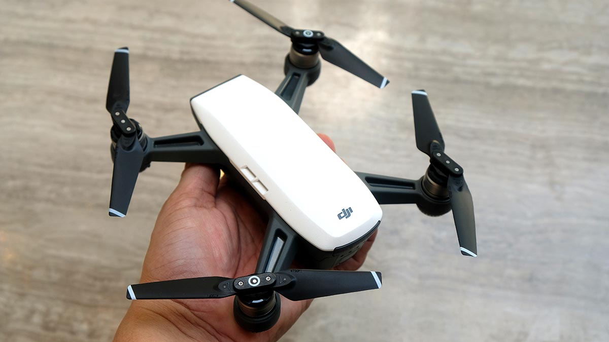
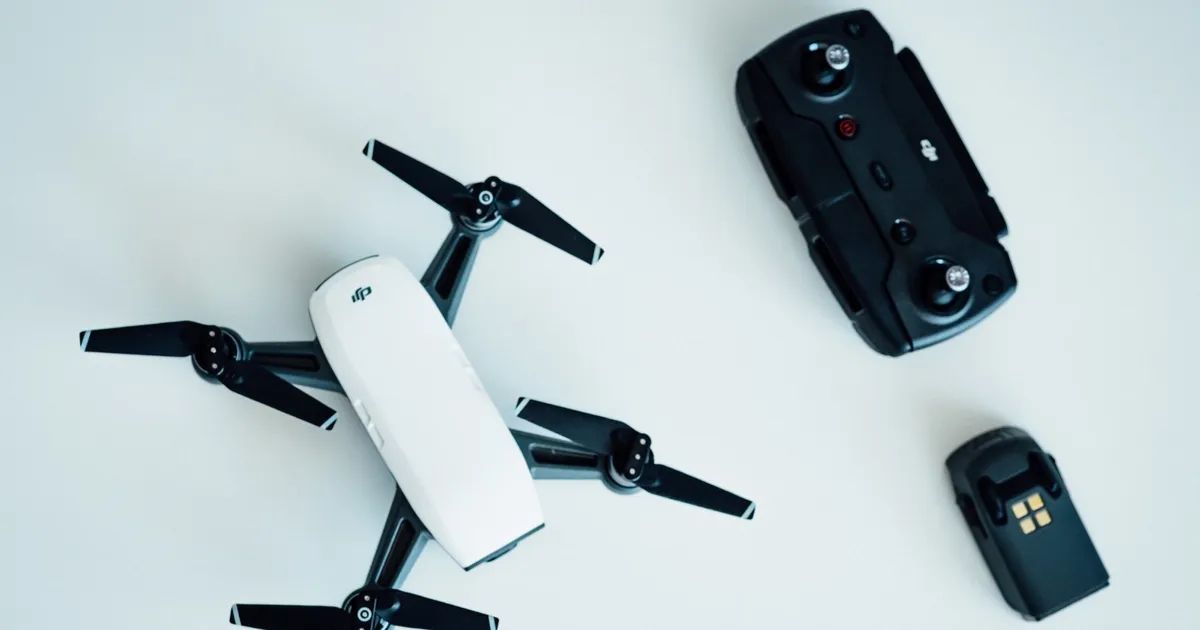
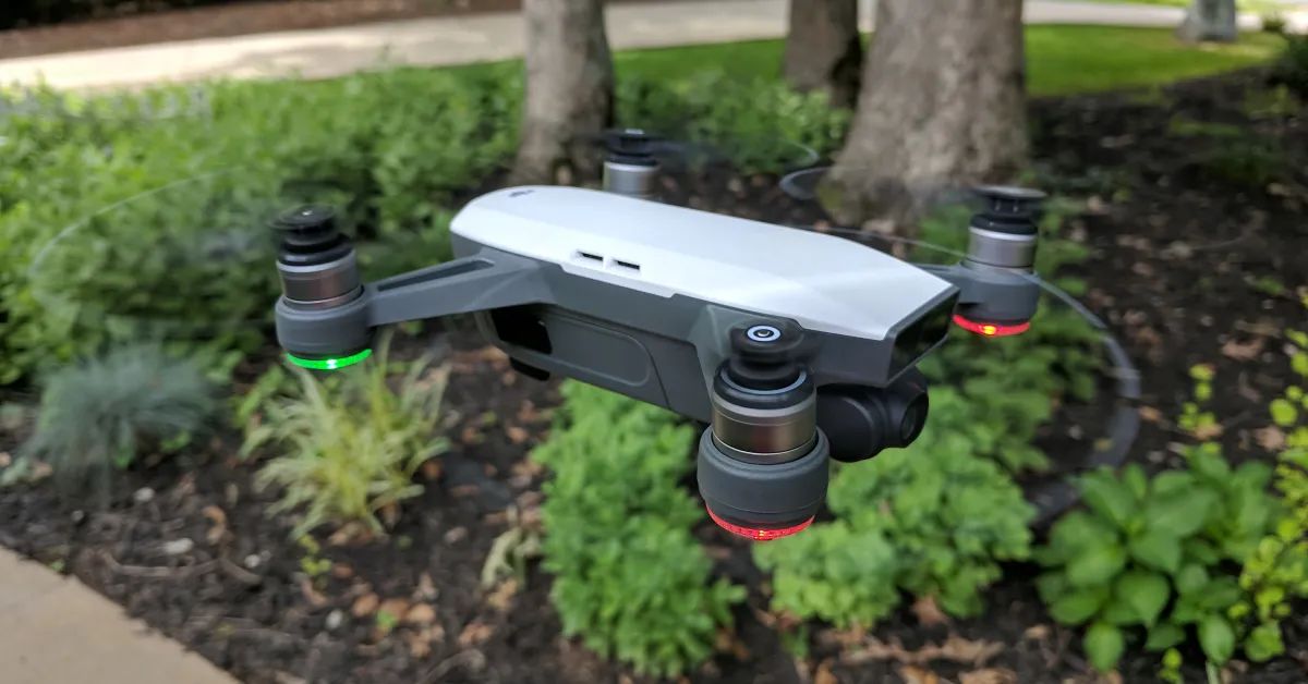
The DJI Spark is a compact and versatile drone that has gained popularity among drone enthusiasts. With its small size and impressive features, the DJI Spark is perfect for casual aerial photography and videography. To fully maximize the capabilities of the DJI Spark, it is essential to have a compatible app that allows users to control the drone, access advanced flight settings, and capture stunning footage.
Fortunately, there are several apps available for the DJI Spark that provide a range of features and functionalities. From official DJI apps to third-party options, these apps offer different capabilities to suit the varying needs of drone pilots. In this article, we will explore some of the best apps for the DJI Spark to help you make an informed decision on which app to use for your drone flights.
Each app mentioned here has its own strengths and weaknesses, so it’s important to consider your specific requirements and preferences. Some apps focus on advanced flight planning and mapping, while others prioritize ease of use and intuitive controls. Let’s take a closer look at the top apps for the DJI Spark.
DJI Go 4 App
The DJI Go 4 App is the official app developed by DJI specifically for their drones, including the DJI Spark. It offers a wide range of features and functionalities, making it a popular choice among DJI drone users.
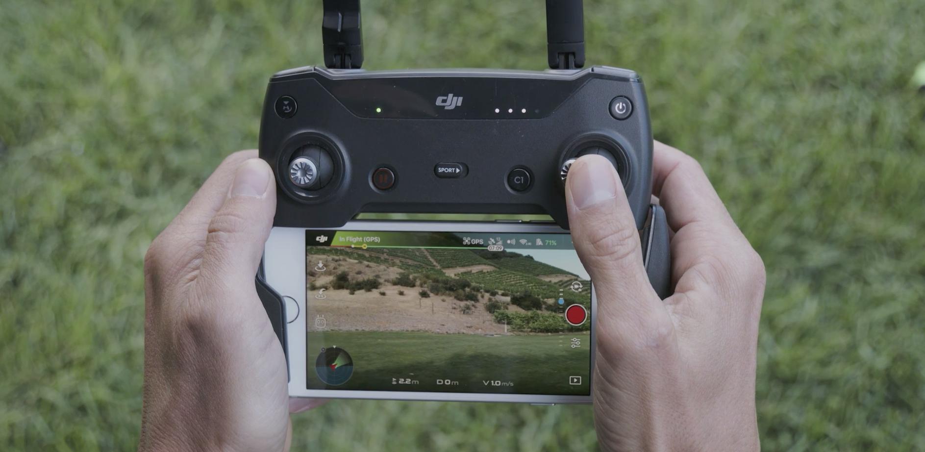
The DJI Go 4 App allows users to control their DJI Spark drone, access live video feed from the drone’s camera, and adjust camera settings such as exposure, ISO, and white balance. It also provides a wide range of intelligent flight modes, including ActiveTrack for autonomous subject tracking, TapFly for easy flight control through the app interface, and Gesture Mode for capturing photos and videos using hand gestures.
In addition to the flight control features, the DJI Go 4 App also provides access to a flight simulator, allowing users to practice flying their DJI Spark in a virtual environment before taking it to the skies. This is particularly useful for beginner pilots who want to gain confidence and improve their flying skills.
Another notable feature of the DJI Go 4 App is the ability to edit and share photos and videos directly from the app. Users can quickly trim and enhance their captured media, add music and filters, and then share the final results on social media platforms directly from the app.
The DJI Go 4 App also offers a built-in flight data viewer, which allows users to review and analyze flight data including flight duration, distance flown, and altitude. This information can be helpful for tracking your progress as a drone pilot and understanding the performance of your DJI Spark.
Overall, the DJI Go 4 App provides a comprehensive set of features and functionalities for controlling and enhancing your DJI Spark drone experience. Whether you are a beginner or an advanced pilot, this official DJI app offers everything you need to capture stunning aerial photos and videos with your DJI Spark.
Litchi App
The Litchi App is a popular third-party app that offers advanced flight control and camera features for DJI drones, including the DJI Spark. With its user-friendly interface and powerful capabilities, the Litchi App is a favorite among professional drone pilots and photography enthusiasts.
One of the standout features of the Litchi App is its waypoint mission planning. With this feature, users can create a detailed flight path by simply selecting waypoints on a map. This allows for precise and automated drone flights, perfect for capturing sweeping aerial shots or complex video sequences. The Litchi App also supports 3D mission planning, enabling users to create intricate flight paths that include elevation changes and different camera angles.
In addition to waypoint missions, the Litchi App offers a variety of intelligent flight modes. This includes Follow Me mode, where the drone tracks and films the user while in motion, and VR mode, which provides an immersive experience by connecting the drone’s live video stream to virtual reality goggles.
The Litchi App also features advanced camera controls, allowing users to adjust exposure settings, focus mode, and camera tilt while in flight. This level of control over the camera settings gives photographers and videographers the flexibility to capture the perfect shot in any lighting condition or creative scenario.
Furthermore, the Litchi App provides an offline map cache feature, which can be beneficial when flying in areas with limited or no internet connectivity. Users can download maps for their intended flying area prior to the flight, ensuring that they have access to detailed maps and satellite imagery even when offline.
Overall, the Litchi App offers a comprehensive set of features and advanced flight control options for the DJI Spark. Whether you are a professional drone pilot or a hobbyist looking to take your aerial photography to the next level, the Litchi App is a powerful tool to enhance your DJI Spark drone experience.
DJI Fly App
The DJI Fly App is another official app developed by DJI specifically for their consumer-grade drones, including the DJI Spark. Designed with simplicity and ease of use in mind, the DJI Fly App is perfect for beginners and casual drone enthusiasts.
The DJI Fly App offers a straightforward interface that allows users to control their DJI Spark drone with minimal effort. It provides access to basic flight controls, including takeoff, landing, and hovering, making it easy for users to get their drone in the air and navigate it comfortably.
One of the key features of the DJI Fly App is its QuickShot mode. With this mode, users can capture cinematic shots with just a few taps on their mobile device. QuickShot offers a variety of pre-programmed flight paths and camera movements, such as Circle, Dronie, Rocket, and Helix, allowing users to effortlessly capture professional-looking videos without needing advanced piloting skills.
The DJI Fly App also includes intelligent flight modes like ActiveTrack and Gesture Control. These features enable the DJI Spark drone to track and follow subjects, thereby allowing users to capture dynamic footage while keeping the drone’s focus on their desired subjects.
In addition to flight controls and intelligent flight modes, the DJI Fly App provides access to a live view of the drone’s camera feed. Users can view real-time footage, and with a simple tap, capture photos and record videos. The app also offers basic editing features, allowing users to trim and enhance their media files before sharing them on social media platforms.
Although the DJI Fly App may not have all the advanced features found in other third-party apps, its user-friendly interface and simplified controls make it an ideal choice for beginners and those looking for a more straightforward drone experience. With its intuitive design and essential features, the DJI Fly App is a great option for capturing stunning aerial photos and videos with the DJI Spark.
DroneDeploy App
The DroneDeploy App is a powerful third-party app that focuses on aerial mapping and data collection. While primarily designed for professional and commercial use, the app can also be utilized by enthusiasts who want to take their drone flights to the next level.
One of the standout features of the DroneDeploy App is its ability to create detailed 2D and 3D maps using aerial imagery. Users can plan a flight path and let the app automatically capture images at specific intervals. These images are then stitched together to create highly detailed maps that can be used in various industries such as agriculture, construction, and surveying.
The app also offers tools for analyzing the captured data, allowing users to measure distances, areas, and volumes directly on the maps. This can be incredibly useful for professionals who need accurate measurements for their projects.
Additionally, the DroneDeploy App supports advanced flight planning features such as waypoint missions and automated mapping flights. Users can define specific waypoints or areas of interest on the map and the app will autonomously fly the drone along the designated path, capturing images along the way. This level of automation simplifies the process of capturing comprehensive and high-resolution aerial data.
Furthermore, the DroneDeploy App integrates with various software and platforms, allowing users to export their maps and data for further analysis and collaboration. It provides compatibility with popular GIS software and can also generate reports and shareable links, making it easy to share findings and insights with clients or team members.
While the DroneDeploy App may not have as many advanced flight control features or camera settings as other apps, its primary focus on aerial mapping and data collection makes it an indispensable tool for professionals who require precise and detailed aerial data. Whether you are in the agriculture industry, construction sector, or any other field that benefits from aerial mapping, the DroneDeploy App is worth considering for your DJI Spark drone.
Pix4Dcapture App
The Pix4Dcapture App is a specialized third-party app designed specifically for aerial mapping and photogrammetry. With its advanced features and precise mapping capabilities, the Pix4Dcapture App is a go-to choice for professionals in industries such as surveying, construction, and archaeology.
One of the key features of the Pix4Dcapture App is its ability to plan and execute automated mapping missions. Users can define the area they want to map and specify the desired flight parameters, such as altitude and overlap. The app will then generate a flight plan and autonomously fly the DJI Spark drone along the predetermined path, capturing images at regular intervals.
The Pix4Dcapture App also supports various mapping modes, including grid, polygon, and circular flight patterns. These modes allow users to adapt the flight plan and capture the necessary data based on the specific requirements of their mapping project.
Once the images are captured, the Pix4Dcapture App seamlessly integrates with Pix4D’s powerful photogrammetry software. The app can automatically upload the images to the cloud, where they are processed to create highly detailed orthomosaics, 3D models, and point clouds. This enables professionals to extract accurate measurements, perform in-depth analyses, and create comprehensive reports.
In addition to mapping missions, the Pix4Dcapture App also supports specialized missions for specific applications. For example, the app offers dedicated missions for agricultural mapping, allowing farmers to assess crop health, monitor vegetation growth, and identify problem areas.
Overall, the Pix4Dcapture App is a valuable tool for professionals who require precise aerial mapping and photogrammetry capabilities. While it may not offer the same range of flight modes or camera controls as other apps, its specialization in mapping and integration with Pix4D’s powerful software make it an essential choice for professionals seeking accurate and detailed mapping results using their DJI Spark drone.
DJI Assistant 2 App
The DJI Assistant 2 App is a utility tool developed by DJI that offers advanced settings and configurations for DJI drones, including the DJI Spark. While not primarily designed for controlling the drone or capturing media, it provides important functions for firmware updates, flight data analysis, and drone customization.
One of the key features of the DJI Assistant 2 App is its ability to update the firmware of the DJI Spark drone. Firmware updates are crucial as they often include important performance enhancements, bug fixes, and new features. With the app, users can easily check for and install the latest firmware updates to ensure their drone is running optimally and has access to the latest features.
The app also offers detailed flight data analysis, allowing users to review and analyze flight logs and telemetry data of their DJI Spark drone. This can provide valuable insights into flight performance, battery usage, and flight patterns. Users can also use the app to diagnose and troubleshoot any issues they may encounter while flying their drone.
In addition to firmware updates and flight data analysis, the DJI Assistant 2 App allows for advanced customization of the DJI Spark drone. Users can adjust various settings and parameters, such as the maximum flight altitude, beginner mode restrictions, and even customizing the LED light patterns on the drone. This level of customization gives users more control over their drone and allows them to tailor their drone’s performance to their specific needs.
Furthermore, the app offers firmware downgrade options, which can be useful if a user encounters any compatibility issues or prefers to use an older firmware version for specific reasons.
Overall, while the DJI Assistant 2 App may not have the same level of flight control features or camera functionalities as other apps, it serves as an essential utility tool for managing and customizing the DJI Spark drone. From firmware updates to flight data analysis and advanced customization options, the DJI Assistant 2 App is a valuable tool for ultimate control over the DJI Spark drone.
AirMap App
The AirMap App is a comprehensive third-party app designed to provide drone pilots with essential information and tools for safe and legal flight operations. With its focus on airspace awareness and regulatory compliance, the AirMap App is a must-have for drone pilots, including DJI Spark users.
One of the key features of the AirMap App is its real-time airspace information. It provides detailed maps that highlight restricted areas, no-fly zones, and airspace restrictions, ensuring that drone pilots can navigate safely and legally. The app also provides information on temporary flight restrictions (TFRs) related to events or emergencies, allowing users to stay informed and avoid prohibited areas.
Furthermore, the AirMap App offers a flight planning feature that allows pilots to plan their flights in advance. Users can input their desired location and the app will generate a flight plan, taking into account airspace rules and regulations. This helps pilots ensure their flights are compliant with local regulations and restrictions.
The AirMap App also incorporates real-time traffic alerts, notifying users about nearby drones and manned aircraft. This feature enhances situational awareness and helps drone pilots avoid potential conflicts in the airspace.
In addition to airspace information and flight planning, the AirMap App provides weather data to assist pilots in making informed decisions. Users can access real-time weather conditions, including wind speed, temperature, and precipitation, helping them determine whether it is safe and suitable to fly.
Moreover, the AirMap App offers integration with DJI’s geofencing technology. This allows DJI Spark users to unlock certain restricted areas if they have the necessary authorization, providing more flexibility for their flights while ensuring compliance with airspace regulations.
Overall, the AirMap App is an essential tool for drone pilots, including DJI Spark users, to ensure safe and compliant flights. Through its real-time airspace information, flight planning features, traffic alerts, and weather data, the app provides valuable tools for maintaining situational awareness and adhering to local regulations. By using the AirMap App, drone pilots can fly their DJI Spark with confidence and peace of mind.
Autopilot for DJI Drones App
The Autopilot for DJI Drones App is a third-party app that provides advanced autonomous flight capabilities for DJI drones, including the DJI Spark. With its intuitive interface and powerful features, the Autopilot App allows drone pilots to create complex flight paths and capture stunning aerial footage with ease.
One of the standout features of the Autopilot App is its waypoint mission planning. Users can define a series of waypoints on a map, specifying altitude, speed, and camera settings for each point. The app will then generate a flight path and autonomously fly the DJI Spark along the designated route, capturing images or videos at the predetermined points. This feature is incredibly useful for capturing dynamic and cinematic shots that would be challenging to achieve manually.
In addition to waypoint missions, the Autopilot App offers a range of intelligent flight modes. Users can explore features such as Follow Me, where the drone tracks and records the pilot’s movements, or Orbit Mode, where the drone circles around a specific subject. These modes add versatility and creativity to aerial photography and videography.
The Autopilot App also includes a virtual fence feature, allowing users to define a virtual boundary within which the drone can fly. This is particularly useful for ensuring the safety of the drone and complying with local regulations and restrictions.
Furthermore, the app offers a variety of camera control options. Users can adjust camera settings such as exposure, ISO, and white balance directly from the app, giving them more control over their aerial imagery.
Another notable feature of the Autopilot App is its live video streaming and recording capabilities. Users can view the live video feed from their DJI Spark’s camera in real-time and even record the footage directly to their mobile device.
Overall, the Autopilot for DJI Drones App is an excellent choice for drone pilots who want to take their DJI Spark flights to a new level. With its waypoint missions, intelligent flight modes, camera controls, and live video capabilities, the app provides the tools and features to capture breathtaking aerial footage in a user-friendly and intuitive manner.
DJI GS Pro App
The DJI GS Pro App is a professional-grade application designed for advanced mission planning and flight control for DJI drones, including the DJI Spark. With its powerful features and precise controls, the GS Pro App is a favorite among commercial drone operators and industry professionals.
One of the standout features of the GS Pro App is its sophisticated mission planning capabilities. Users can create complex flight paths by specifying waypoints, altitude, speed, and camera settings. The app enables precise control over the drone’s movements, allowing users to capture precise aerial footage for mapping, surveying, and inspection projects.
The GS Pro App also supports advanced automated flight modes, such as intelligent object tracking and advanced camera control. Users can track a subject and adjust the camera settings in real-time to capture detailed imagery for inspection purposes or to create accurate 3D models.
In addition to mission planning and flight control, the GS Pro App integrates with other professional tools and systems. It enables seamless integration with popular GIS software, allowing users to import and export flight plans, waypoints, and captured data for further analysis and collaboration.
Another highlight of the GS Pro App is its ability to manage multiple drones simultaneously. This is particularly useful for commercial operations that require multiple drones for large-scale projects. Users can synchronize the flight paths and control the drones from a single device, streamlining operations and increasing productivity.
Furthermore, the app offers detailed flight logs and statistics, allowing users to evaluate their flights, review mission data, and analyze performance. This information can be valuable for quality control, project management, and post-flight analysis.
Overall, the DJI GS Pro App is a powerful tool for professionals who require precise mission planning and flight control capabilities for their DJI Spark drone. With its advanced features, integration with external systems, and support for multiple drones, the GS Pro App empowers commercial drone operators to execute complex projects with ease and precision.
DJI Ground Station Pro App
The DJI Ground Station Pro App is a professional-grade application designed for advanced mission planning and autonomous flight control for DJI drones, including the DJI Spark. With its robust features and precise controls, the Ground Station Pro (GSP) App is widely used in industries such as aerial cinematography, inspection, and surveying.
One of the key features of the GSP App is its advanced mission planning capabilities. Users can create complex flight routes by defining waypoints, altitude, speed, and camera settings. This allows for precise control over the drone’s movements, ensuring accurate data capture and stunning aerial imagery.
The GSP App’s autonomous flight modes enable users to capture dynamic scenes effortlessly. Features like FocusTrack, Waypoint, and Orbit allow the drone to track and record subjects while executing pre-defined flight paths. This is especially useful for aerial cinematography, where smooth and synchronized movements are crucial.
What sets the GSP App apart is its ability to synchronize multiple drones in a single mission. This is particularly beneficial for team-based projects or scenarios that require synchronized and coordinated flights. Operators can control multiple drones simultaneously, enabling efficient collaboration and enhancing the overall workflow.
In addition to mission planning and flight control, the GSP App provides real-time access to flight data and live video feeds. Users can monitor crucial flight parameters, such as battery level, altitude, and GPS signal strength, ensuring a safe and successful mission. The app also supports live video streaming, allowing users to view the drone’s perspective in real-time and make necessary adjustments on the go.
The GSP App further expands its functionality by integrating with external devices and software. It supports third-party devices like DJI CrystalSky monitors, enabling enhanced visibility and control in challenging lighting conditions. Additionally, the app interfaces seamlessly with professional flight planning software, allowing for detailed analysis and post-processing of captured data.
Overall, the DJI Ground Station Pro App provides professional drone operators with powerful tools for mission planning, autonomous flight control, and data capture. Whether it’s for aerial cinematography, inspection work, or surveying projects, the GSP App enhances productivity, accuracy, and creativity in a wide range of applications using the DJI Spark drone.
DJI Pilot App
The DJI Pilot App is a powerful and versatile application developed by DJI for professional drone pilots. Designed for use with DJI’s enterprise-level drones, including the DJI Spark, the Pilot App offers advanced flight control, comprehensive settings, and robust data management features.
One of the key features of the DJI Pilot App is its extensive flight control capabilities. It provides precise control over the drone’s movements, allowing pilots to perform complex maneuvers and capture accurate aerial footage. The app supports multiple flight modes, including waypoint missions, advanced tracking, and dynamic home point, enabling pilots to achieve their desired shots with ease.
The Pilot App also offers advanced camera controls, giving pilots the ability to fine-tune camera settings such as aperture, shutter speed, and ISO. This allows for more creative control over the drone’s imaging capabilities, resulting in high-quality aerial photos and videos.
In addition to flight control and camera settings, the DJI Pilot App offers robust data management features. It allows pilots to access and manage flight logs, view real-time flight parameters, and analyze data for improved flight performance. The app also supports data sharing and collaboration, making it easy to share flight logs and data with teammates or clients.
Furthermore, the DJI Pilot App integrates with DJI’s FlightHub software, providing a comprehensive fleet management solution for enterprise drone operations. Pilots can remotely manage aircraft, assign flight missions, and monitor real-time flight data for enhanced situational awareness and streamlined operations.
The Pilot App also supports DJI’s D-RTK (Real-Time Kinematic) technology, enabling highly precise positioning and navigation for applications that require centimeter-level accuracy. This is particularly beneficial for mapping, surveying, and inspection tasks that demand superior precision.
Overall, the DJI Pilot App caters to the needs of professional drone pilots, offering advanced flight control, comprehensive camera settings, robust data management, and seamless integration with DJI’s enterprise solutions. Whether for commercial operations, industrial applications, or professional photography and videography, the Pilot App provides a comprehensive set of tools and features to enhance the capabilities of the DJI Spark and ensure successful and efficient drone missions.
DroneVR+ FPV App
The DroneVR+ FPV App is an exciting third-party application that offers a unique and immersive First Person View (FPV) experience for DJI drones, including the DJI Spark. This app combines virtual reality technology with drone flight, allowing users to experience the thrill of flying their drone in a whole new way.
One of the standout features of the DroneVR+ FPV App is its virtual reality integration. Users can connect their mobile device to a VR headset and enjoy a fully immersive flight experience. This allows them to see the live video feed from their DJI Spark’s camera as if they were in the cockpit of the drone, giving them a real-time aerial perspective.
The app also provides intuitive head tracking functionality, allowing users to control the movement of the drone’s camera simply by moving their head. This adds an extra level of immersion and control, making it feel like you are piloting the drone with your own movements.
Furthermore, the DroneVR+ FPV App offers additional features to enhance the user’s FPV experience. Users can adjust the camera settings, such as exposure and white balance, directly from the app, ensuring optimal image quality. The app also supports smooth video streaming, reducing latency and providing a seamless FPV experience.
The DroneVR+ FPV App not only focuses on the immersive flight experience but also enhances safety. It provides important flight data and statistics, allowing users to monitor vital parameters such as battery life and altitude in real-time. This ensures that users have full awareness of their drone’s performance and can make informed decisions during the flight.
Additionally, the app offers a range of flight modes, including waypoints and custom flight paths. This allows users to plan and execute autonomous flight missions while enjoying the immersive FPV experience.
Overall, the DroneVR+ FPV App offers a captivating and unique way to experience flight with the DJI Spark. By combining virtual reality technology, intuitive head tracking, and powerful flight features, this app takes the FPV experience to a whole new level. Whether you are a hobbyist looking for an exhilarating drone flight or a professional seeking a more immersive aerial perspective, the DroneVR+ FPV App is an excellent choice to unlock the full potential of your DJI Spark.
Conclusion
Choosing the right app for your DJI Spark drone can greatly enhance your flying and filming experience. Whether you are a beginner looking for intuitive controls or a professional seeking advanced flight planning and mapping capabilities, there is an app that meets your specific needs. In this article, we have explored twelve different apps that are compatible with the DJI Spark and offer a wide range of features and functionalities.
For basic flight control and camera settings, the official DJI Go 4 App and DJI Fly App are excellent choices. They provide essential controls, intelligent flight modes, and the ability to capture and edit photos and videos directly from the app itself. The DJI Pilot App offers advanced flight control and comprehensive camera settings, catering specifically to professional drone pilots.
For those interested in mapping and aerial surveying, the Litchi App, DroneDeploy App, and Pix4Dcapture App offer powerful features such as waypoint planning, automated flight missions, and detailed data analysis. These apps are ideal for professionals in industries such as agriculture, construction, and surveying.
If you’re looking for specialized features, the DJI Assistant 2 App provides firmware updates, flight data analysis, and advanced customization options for your DJI Spark. The Autopilot for DJI Drones App and DJI Ground Station Pro App offer advanced autonomous flight capabilities, allowing for precise and complex missions with multiple drones.
For enhanced safety and regulatory compliance, the AirMap App provides real-time airspace information, flight planning tools, and traffic alerts. The DJI GS Pro App offers professional-grade mission planning and flight control for mapping and surveying applications.
Lastly, for an immersive First Person View (FPV) experience, the DroneVR+ FPV App allows users to enjoy virtual reality integration and intuitive head tracking, giving them a unique perspective while flying their DJI Spark.
In conclusion, each app mentioned in this article has its own strengths and unique features. When choosing an app for your DJI Spark drone, consider your specific needs, whether it’s professional mapping, advanced flight control, or an immersive FPV experience. With the right app, you can unlock the full potential of your DJI Spark and elevate your aerial photography and videography to new heights.