




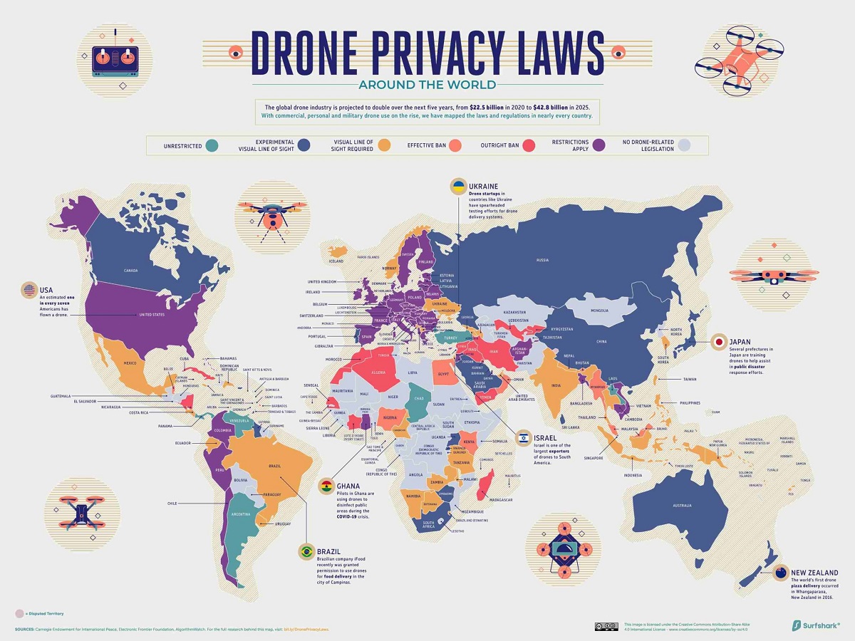
If you’re looking for a map of where you can fly a drone, the FAA’s B4UFLY service and LAANC-approved apps like Aloft and AirMap are the direct, authoritative answer. These interactive tools show you exactly which airspace is open and which zones require permission before you launch, so you can fly legally and avoid fines.
The official where can you fly a drone map: B4UFLY and LAANC
The Federal Aviation Administration (FAA) provides the official map of where you can fly a drone through its B4UFLY service, designed specifically for drone pilots in the United States. B4UFLY displays controlled airspace, temporary flight restrictions, and other no-fly zones on an interactive map, giving you a real-time view of your surroundings. For even more functionality, LAANC (Low Altitude Authorization and Notification Capability) integrates directly into apps like Aloft and AirMap, which are approved by the FAA. These apps are the same tools professional pilots use daily, so they’re not just convenient, they’re the standard for checking airspace before every flight. Once you’ve confirmed your airspace is clear, you might be ready to order walmart drone delivery right to your backyard.
Understanding airspace classes on your drone map
When you open your drone map, you’ll see colored zones representing different airspace classes, and knowing what they mean is key to reading the map correctly. Controlled airspace, Class B, C, D, and some Class E, appears as restricted areas on the map because these zones surround airports and busy flight corridors. Under Part 107 rules, you must obtain authorization from the FAA before flying in any of these controlled classes, even if the map shows a small gap or a seemingly open area. Class G airspace, on the other hand, is uncontrolled and typically requires no authorization, but you should still check the map for other restrictions like temporary flight advisories or national security areas.
Key FAA Part 107 rules that dictate map restrictions
The zones you see on your drone map are not arbitrary, they’re the direct result of specific FAA Part 107 regulations that every pilot must follow. The 400-foot altitude limit is one of the most common restrictions: you can fly up to 400 feet above ground level, or up to 400 feet above a structure if you stay within a 400-foot radius of it, but never higher. Visual line of sight is another rule that shapes map restrictions: you must keep your drone within your unaided sight (or a designated visual observer’s sight) at all times, which means the map cannot help you fly beyond what you can see. Flying over people not directly participating in your operation is generally prohibited, so the map will often show densely populated areas as no-fly zones. Finally, the prohibition around airports is why you see large red circles on the map, drones are not allowed near runways or approach paths without explicit authorization, and the map reflects that buffer zone.
How to get permission to fly in a restricted zone
Seeing a restricted zone on your drone map doesn’t always mean you’re grounded, you can often get near-instant permission through LAANC. Here’s how to do it directly from an approved app like Aloft or AirMap:
- Open the app and locate your planned flight area on the interactive map.
- Tap the controlled airspace zone that covers your location to see if LAANC authorization is available.
- Submit a request with your flight details, including altitude, time, and duration.
- Receive approval or denial within seconds, and if approved, the app will show your flight as authorized.
- Fly only within the approved altitude and area, and keep the authorization visible on your device during the flight.
If LAANC isn’t available for a particular zone, you can apply through the FAADroneZone portal instead, though that process takes longer. Either way, turning a “no-fly zone” into a fly zone is legal and straightforward when you use the proper channels.
Commercial drone mapping: the certification you need
If you plan to use your drone for any business purpose, including aerial mapping for real estate, construction, or agriculture, you need a Part 107 Remote Pilot Certificate, not a traditional manned aircraft pilot’s license. This is a common misconception, but the FAA replaced the old “333 exemption” with Part 107 in August 2016, and it’s now the only path for commercial drone work. To get certified, you must pass the FAA Aeronautical Knowledge Test, be at least 16 years old, and be proficient in English. Additionally, all drones used for commercial purposes must be registered on FAADroneZone.faa.gov and comply with Remote ID broadcasting rules, which your drone map app will help you verify before each flight. For anyone serious about turning drone flying into a profession, whether you’re into buying, building and flying drones as a hobby or a career, the Part 107 certificate is non-negotiable, and it’s the same credential that lets you request LAANC authorizations for commercial mapping jobs.